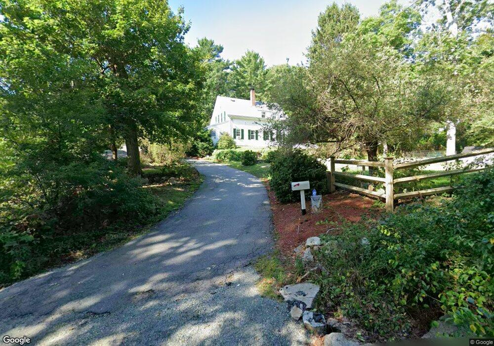
5 Stillington Dr Gloucester, MA 01930
West Gloucester NeighborhoodEstimated Value: $767,000 - $883,000
3
Beds
3
Baths
1,811
Sq Ft
$444/Sq Ft
Est. Value
About This Home
This home is located at 5 Stillington Dr, Gloucester, MA 01930 and is currently estimated at $804,145, approximately $444 per square foot. 5 Stillington Dr is a home located in Essex County with nearby schools including West Parish, Ralph B O'maley Middle School, and Gloucester High School.
Ownership History
Date
Name
Owned For
Owner Type
Purchase Details
Closed on
Apr 23, 2013
Sold by
Phoenix Kevin A and Phoenix Shawna L
Bought by
Phoenix Shawna L
Current Estimated Value
Purchase Details
Closed on
Oct 30, 1998
Sold by
Saul Nancy Ann
Bought by
Phoenix Kevin A
Create a Home Valuation Report for This Property
The Home Valuation Report is an in-depth analysis detailing your home's value as well as a comparison with similar homes in the area
Home Values in the Area
Average Home Value in this Area
Purchase History
| Date | Buyer | Sale Price | Title Company |
|---|---|---|---|
| Phoenix Shawna L | -- | -- | |
| Phoenix Kevin A | $247,000 | -- |
Source: Public Records
Mortgage History
| Date | Status | Borrower | Loan Amount |
|---|---|---|---|
| Previous Owner | Phoenix Kevin A | $220,500 | |
| Previous Owner | Phoenix Kevin A | $241,500 | |
| Previous Owner | Phoenix Kevin A | $150,000 |
Source: Public Records
Tax History
| Year | Tax Paid | Tax Assessment Tax Assessment Total Assessment is a certain percentage of the fair market value that is determined by local assessors to be the total taxable value of land and additions on the property. | Land | Improvement |
|---|---|---|---|---|
| 2025 | $6,654 | $684,600 | $232,100 | $452,500 |
| 2024 | $6,553 | $673,500 | $221,000 | $452,500 |
| 2023 | $6,586 | $621,900 | $197,200 | $424,700 |
| 2022 | $6,434 | $548,500 | $171,600 | $376,900 |
| 2021 | $6,256 | $502,900 | $156,200 | $346,700 |
| 2020 | $6,197 | $502,600 | $156,200 | $346,400 |
| 2019 | $5,986 | $471,700 | $156,200 | $315,500 |
| 2018 | $5,817 | $449,900 | $156,200 | $293,700 |
| 2017 | $5,661 | $429,200 | $148,700 | $280,500 |
| 2016 | $5,601 | $411,500 | $155,200 | $256,300 |
| 2015 | $5,390 | $394,900 | $155,200 | $239,700 |
Source: Public Records
Map
Nearby Homes
- 5 Marshfield St
- 5 Lepage Ln
- 24 Cobblestone Ln Unit 603
- 145 Essex Ave Unit 402
- 55 Mansfield St
- 15 Harvard St
- 20 Beacon St
- 20 Beacon St Unit 2
- 20 Beacon St Unit 1
- 5 Samoset Rd Unit B
- 33 Middle St
- 15 Raven Ln Unit 15
- 1 Wonson St
- 2 Ocean Ave Unit 2K
- 191 Main St Unit 3
- 191 Main St Unit 2A
- 17 Butler Ave
- 73 Rocky Neck Ave Unit 2
- 60 Rocky Neck Ave Unit 202
- 368 Essex Ave
- 353 Western Ave
- 355 Western Ave
- 357 Western Ave
- 351 Western Ave Unit 1
- 349 Western Ave
- 347 Western Ave
- 250 Western Ave
- 250 Western Ave Unit 2
- 339 Western Ave
- 365 Western Ave
- 258 Western Ave
- 268 Western Ave
- 3 Waterside Ln Unit B
- 3 Waterside Ln Unit A
- 248 Western Ave
- 272 Western Ave
- LOT 2 Western Ave
- 471R Western Ave
- 111 Western Ave
- 274 Western Ave
Your Personal Tour Guide
Ask me questions while you tour the home.