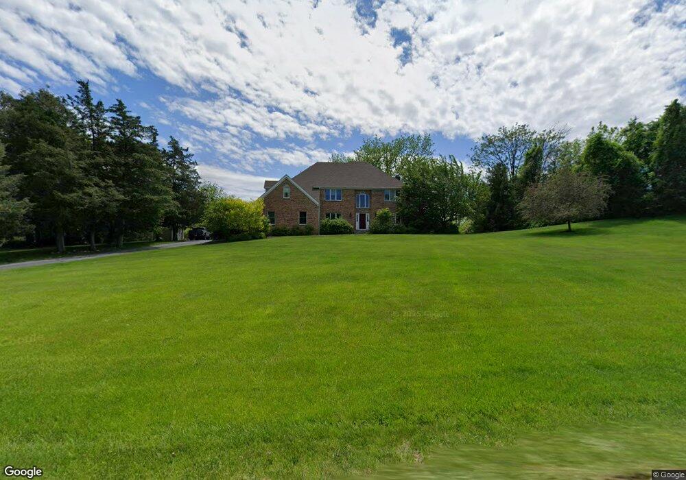
5 Stone Bridge Dr Andover, NJ 07821
Estimated Value: $737,490 - $811,000
--
Bed
--
Bath
3,228
Sq Ft
$241/Sq Ft
Est. Value
About This Home
This home is located at 5 Stone Bridge Dr, Andover, NJ 07821 and is currently estimated at $779,123, approximately $241 per square foot. 5 Stone Bridge Dr is a home located in Sussex County with nearby schools including Green Hills School and Tranquility Adventist School.
Ownership History
Date
Name
Owned For
Owner Type
Purchase Details
Closed on
Aug 27, 1997
Sold by
Veldhuis Peter and Veldhuis Norma
Bought by
Mollahan Monica L and Mollahan Edward S
Current Estimated Value
Home Financials for this Owner
Home Financials are based on the most recent Mortgage that was taken out on this home.
Original Mortgage
$277,200
Interest Rate
7.36%
Purchase Details
Closed on
Aug 24, 1995
Sold by
State Line Construction Co
Bought by
Veldhuis Peter and Veldhuis Norma
Create a Home Valuation Report for This Property
The Home Valuation Report is an in-depth analysis detailing your home's value as well as a comparison with similar homes in the area
Home Values in the Area
Average Home Value in this Area
Purchase History
| Date | Buyer | Sale Price | Title Company |
|---|---|---|---|
| Mollahan Monica L | $308,000 | -- | |
| Veldhuis Peter | $30,000 | -- | |
| State Line Construction Co | -- | -- |
Source: Public Records
Mortgage History
| Date | Status | Borrower | Loan Amount |
|---|---|---|---|
| Closed | Mollahan Monica L | $277,200 |
Source: Public Records
Tax History Compared to Growth
Tax History
| Year | Tax Paid | Tax Assessment Tax Assessment Total Assessment is a certain percentage of the fair market value that is determined by local assessors to be the total taxable value of land and additions on the property. | Land | Improvement |
|---|---|---|---|---|
| 2025 | $16,066 | $715,500 | $156,600 | $558,900 |
| 2024 | $15,951 | $412,800 | $122,600 | $290,200 |
| 2023 | $15,951 | $412,800 | $122,600 | $290,200 |
| 2022 | $15,175 | $412,800 | $122,600 | $290,200 |
| 2021 | $14,976 | $412,800 | $122,600 | $290,200 |
| 2020 | $14,613 | $412,800 | $122,600 | $290,200 |
| 2019 | $14,304 | $412,800 | $122,600 | $290,200 |
| 2018 | $15,055 | $412,800 | $122,600 | $290,200 |
| 2017 | $14,753 | $412,800 | $122,600 | $290,200 |
| 2016 | $14,320 | $412,800 | $122,600 | $290,200 |
| 2015 | $13,808 | $412,800 | $122,600 | $290,200 |
| 2014 | $13,433 | $412,800 | $122,600 | $290,200 |
Source: Public Records
Map
Nearby Homes
- 88 Kennedy Rd
- 8 Limekiln Ct
- 78 Hillside Terrace
- 37 Pequest Rd
- 14 Hillside Terrace
- 0 Decker Pond Airport Rd Unit 3945534
- 8 Woodfield Rd
- 73 Wolfs Corner Rd
- 288 Decker Pond Rd
- 10 Rushmore Ln
- 19 Rainier Ct
- 25 Osprey Unit C2G3
- 34 Allamuchy Trail
- 5 Ajax Ct
- 15 Ajax Ct
- 57 Marsh Hawk Unit 8
- 156 Osprey Unit 5
- 7 Lakeview Trail
- 300 Alphano Rd
- 5 Harding Rd
- 3 Stone Bridge Dr
- 7 Stone Bridge Dr
- 4 Stone Bridge Dr
- 6 Stone Bridge Dr
- 6 Blueberry Ln
- 8 Stone Bridge Dr
- 9 Stone Bridge Dr
- 10 Stone Bridge Dr
- 4 Spring Hunter Ct
- 11 Stone Bridge Dr
- 3 Mill Race Ct
- 2 Spring Hunter Ct
- 63 Kennedy Rd
- 5 Mill Race Ct
- 61 Kennedy Rd
- 67 Kennedy Rd
- 1 Mill Race Ct
- 57 Kennedy Rd
- 13 Stone Bridge Dr
- 7 Mill Race Ct