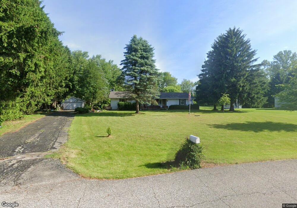
5 Stoner Dr Valparaiso, IN 46385
Porter County NeighborhoodEstimated Value: $309,000 - $337,000
3
Beds
2
Baths
1,585
Sq Ft
$204/Sq Ft
Est. Value
About This Home
This home is located at 5 Stoner Dr, Valparaiso, IN 46385 and is currently estimated at $323,415, approximately $204 per square foot. 5 Stoner Dr is a home located in Porter County with nearby schools including Morgan Township Elementary School and Morgan Township Middle/High School.
Ownership History
Date
Name
Owned For
Owner Type
Purchase Details
Closed on
Mar 31, 2006
Sold by
Whitaker Luther M and Whitaker Harriet E
Bought by
Garwood Wendy L
Current Estimated Value
Home Financials for this Owner
Home Financials are based on the most recent Mortgage that was taken out on this home.
Original Mortgage
$80,000
Interest Rate
6.33%
Mortgage Type
Fannie Mae Freddie Mac
Create a Home Valuation Report for This Property
The Home Valuation Report is an in-depth analysis detailing your home's value as well as a comparison with similar homes in the area
Home Values in the Area
Average Home Value in this Area
Purchase History
| Date | Buyer | Sale Price | Title Company |
|---|---|---|---|
| Garwood Wendy L | -- | Chicago Title Insurance Co |
Source: Public Records
Mortgage History
| Date | Status | Borrower | Loan Amount |
|---|---|---|---|
| Open | Garwood Wendy L | $115,000 | |
| Closed | Garwood Wendy L | $115,000 | |
| Closed | Garwood Wendy L | $115,000 | |
| Closed | Garwood Wendy L | $100,000 | |
| Closed | Garwood Wendy L | $86,000 | |
| Closed | Garwood Wendy L | $80,000 |
Source: Public Records
Tax History Compared to Growth
Tax History
| Year | Tax Paid | Tax Assessment Tax Assessment Total Assessment is a certain percentage of the fair market value that is determined by local assessors to be the total taxable value of land and additions on the property. | Land | Improvement |
|---|---|---|---|---|
| 2024 | $1,701 | $269,300 | $40,100 | $229,200 |
| 2023 | $1,561 | $252,300 | $36,400 | $215,900 |
| 2022 | $1,624 | $243,600 | $36,400 | $207,200 |
| 2021 | $1,646 | $222,100 | $36,400 | $185,700 |
| 2020 | $1,448 | $200,000 | $31,700 | $168,300 |
| 2019 | $1,477 | $196,100 | $31,700 | $164,400 |
| 2018 | $1,374 | $186,900 | $31,700 | $155,200 |
| 2017 | $1,364 | $188,100 | $31,700 | $156,400 |
| 2016 | $1,156 | $168,200 | $23,800 | $144,400 |
| 2014 | $1,130 | $162,800 | $23,000 | $139,800 |
| 2013 | -- | $153,500 | $23,300 | $130,200 |
Source: Public Records
Map
Nearby Homes
- 0 Smoke Rd
- 48 E Division Rd
- 20 E 150 S
- 501 Eagle Ct
- 3152 Heavilin Rd
- 1551 Gilleevan Dr
- 3359 Blue Jay Dr
- 2655 Vivante Dr
- 2453 Honelee Ct
- 2658 Arran Quay Terrace
- 1802 Meadow Glen Dr
- 1954 Lawndale Dr
- 2551 Saint Road 2
- 3353 Field Hawk Dr
- 1556 Smoke Rd
- 1284 Rowley St
- 1465 Clark Rd
- 1952 Galena Ct
- 1659 Tippecanoe Ct
- 132 S 200 W