5 Swartz Rd Bloomsburg, PA 17815
Estimated Value: $309,000 - $391,492
--
Bed
--
Bath
1,934
Sq Ft
$178/Sq Ft
Est. Value
About This Home
This home is located at 5 Swartz Rd, Bloomsburg, PA 17815 and is currently estimated at $343,831, approximately $177 per square foot. 5 Swartz Rd is a home located in Columbia County with nearby schools including Millville Area Elementary School, Millville Area Junior/Senior High School, and Chillisquaque Valley Parc School.
Ownership History
Date
Name
Owned For
Owner Type
Purchase Details
Closed on
Dec 19, 2018
Sold by
Else Kathleen M and Else Amy K
Bought by
Else Amy K
Current Estimated Value
Home Financials for this Owner
Home Financials are based on the most recent Mortgage that was taken out on this home.
Original Mortgage
$228,000
Outstanding Balance
$201,274
Interest Rate
4.9%
Mortgage Type
Future Advance Clause Open End Mortgage
Estimated Equity
$142,557
Purchase Details
Closed on
Sep 30, 1996
Bought by
Else Robert E and Else Ii Kathleen M
Create a Home Valuation Report for This Property
The Home Valuation Report is an in-depth analysis detailing your home's value as well as a comparison with similar homes in the area
Home Values in the Area
Average Home Value in this Area
Purchase History
| Date | Buyer | Sale Price | Title Company |
|---|---|---|---|
| Else Amy K | -- | Box Exact Abstract | |
| Else Robert E | $251,000 | -- |
Source: Public Records
Mortgage History
| Date | Status | Borrower | Loan Amount |
|---|---|---|---|
| Open | Else Amy K | $228,000 |
Source: Public Records
Tax History Compared to Growth
Tax History
| Year | Tax Paid | Tax Assessment Tax Assessment Total Assessment is a certain percentage of the fair market value that is determined by local assessors to be the total taxable value of land and additions on the property. | Land | Improvement |
|---|---|---|---|---|
| 2025 | $8,032 | $102,140 | $0 | $0 |
| 2024 | $7,742 | $102,141 | $29,797 | $72,344 |
| 2023 | $7,046 | $102,141 | $29,797 | $72,344 |
| 2022 | $5,623 | $102,141 | $29,797 | $72,344 |
| 2021 | $5,462 | $102,141 | $29,797 | $72,344 |
| 2020 | $5,271 | $102,141 | $29,797 | $72,344 |
| 2019 | $5,271 | $102,141 | $29,797 | $72,344 |
| 2018 | $5,250 | $102,141 | $29,797 | $72,344 |
| 2017 | $5,166 | $102,141 | $29,797 | $72,344 |
| 2016 | -- | $102,141 | $29,797 | $72,344 |
| 2015 | -- | $102,141 | $29,797 | $72,344 |
| 2014 | -- | $102,141 | $29,797 | $72,344 |
Source: Public Records
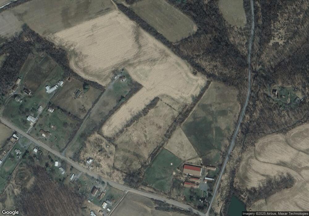
Map
Nearby Homes
- 13 Washingtonville Rd
- 459-463 Danville Rd
- 516 Washingtonville Rd
- 93 Woodside Rd
- 181B Katys Church Rd
- 2910 Pennsylvania 42
- 60 3rd St
- 163 E Main St
- 941 Jerseytown Rd
- 259 N Chestnut St
- 190 Foggy Mountain Rd
- 4 Eyersgrove Rd
- 0 Maple Ridge Rd
- 494 Buckhorn Rd
- 3041 Pennsylvania 42
- 53 Airport Rd
- 720 Sones Rd
- 2622 Johnson Rd
- 1037 Water St
- 25 Rhoades Hill Rd
- 221 Humpty Dumpty Rd
- 252 White Hall Rd
- 245 White Hall Rd
- 249 White Hall Rd
- 264B White Hall Rd
- 264 White Hall Rd
- 272 White Hall Rd
- 195 Humpty Dumpty Rd
- 271 White Hall Rd
- 278 White Hall Rd
- 280 White Hall Rd
- 290 White Hall Rd
- 273 White Hall Rd
- 294 White Hall Rd
- 1079 Schoolhouse Rd
- 108 White Hall Rd
- 132 Humpty Dumpty Rd
- 93 White Hall Rd
- 11 Brote Hollow Rd
- 341 Phillips Rd