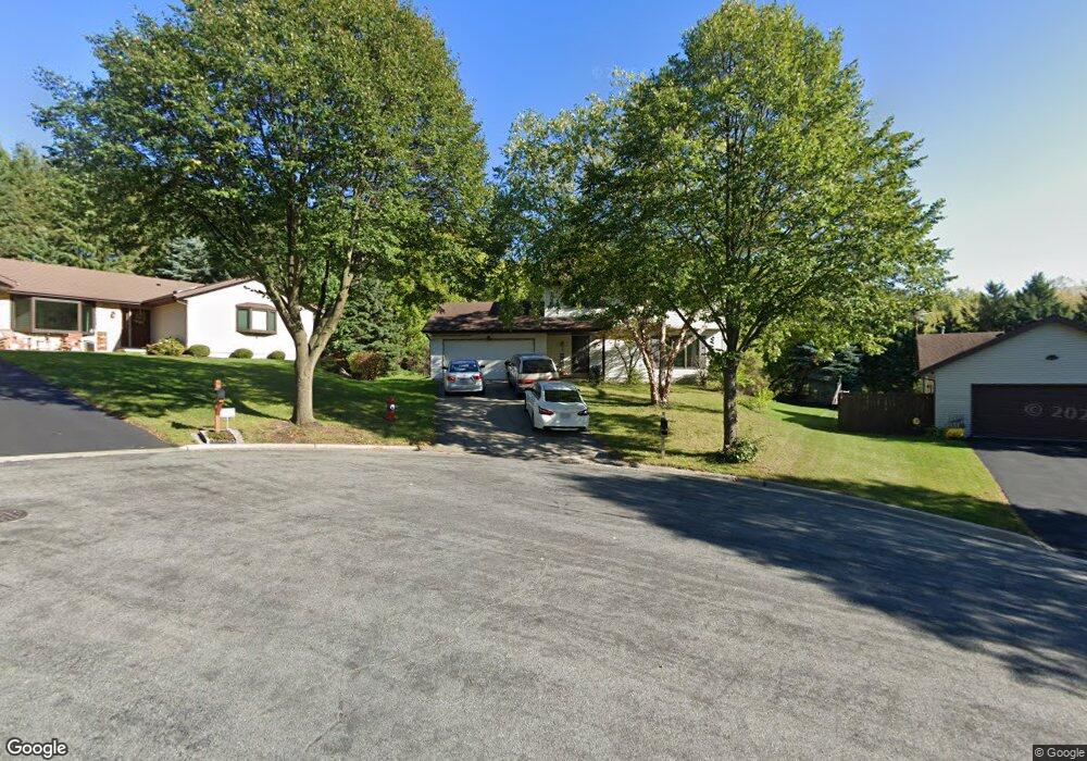
5 Taunton Cir Madison, WI 53719
Maple-Prairie NeighborhoodEstimated Value: $458,204 - $490,000
3
Beds
2
Baths
1,584
Sq Ft
$302/Sq Ft
Est. Value
About This Home
This home is located at 5 Taunton Cir, Madison, WI 53719 and is currently estimated at $478,801, approximately $302 per square foot. 5 Taunton Cir is a home located in Dane County with nearby schools including Stoner Prairie Elementary School, Savanna Oaks Middle School, and Verona Area High School.
Ownership History
Date
Name
Owned For
Owner Type
Purchase Details
Closed on
May 25, 2006
Sold by
Barrett Mark W and Barrett Christina M
Bought by
Alioto Michael Bb and Alioto Dawn C
Current Estimated Value
Home Financials for this Owner
Home Financials are based on the most recent Mortgage that was taken out on this home.
Original Mortgage
$225,000
Interest Rate
6.56%
Mortgage Type
New Conventional
Create a Home Valuation Report for This Property
The Home Valuation Report is an in-depth analysis detailing your home's value as well as a comparison with similar homes in the area
Home Values in the Area
Average Home Value in this Area
Purchase History
| Date | Buyer | Sale Price | Title Company |
|---|---|---|---|
| Alioto Michael Bb | $340,500 | None Available |
Source: Public Records
Mortgage History
| Date | Status | Borrower | Loan Amount |
|---|---|---|---|
| Closed | Alioto Michael Bb | $225,000 |
Source: Public Records
Tax History Compared to Growth
Tax History
| Year | Tax Paid | Tax Assessment Tax Assessment Total Assessment is a certain percentage of the fair market value that is determined by local assessors to be the total taxable value of land and additions on the property. | Land | Improvement |
|---|---|---|---|---|
| 2024 | $15,037 | $409,100 | $146,500 | $262,600 |
| 2023 | $6,873 | $375,300 | $134,400 | $240,900 |
| 2021 | $6,194 | $294,000 | $105,300 | $188,700 |
| 2020 | $6,408 | $277,400 | $99,300 | $178,100 |
| 2019 | $6,019 | $261,700 | $93,700 | $168,000 |
| 2018 | $5,794 | $251,600 | $93,700 | $157,900 |
| 2017 | $5,594 | $239,600 | $89,200 | $150,400 |
| 2016 | $5,147 | $223,900 | $89,200 | $134,700 |
| 2015 | $5,045 | $209,000 | $89,200 | $119,800 |
| 2014 | $4,874 | $209,000 | $89,200 | $119,800 |
| 2013 | $4,870 | $202,900 | $86,600 | $116,300 |
Source: Public Records
Map
Nearby Homes
- 5914 Stanton Ln
- 3142 Dorchester Way Unit 4
- 3130 Dorchester Way Unit 1
- 3134 Dorchester Way Unit 7
- 3017 Bradbury Rd
- 9 Newport Cir
- 6118 Jeffers Dr
- 2954 King James Way Unit 4
- 2621 Smithfield Dr Unit 3
- 2945 Maple Run Dr
- 6017 Mayhill Dr
- 6421 Dylyn Dr
- 3117 Keswick Dr
- 2310 Ravenswood Rd
- 6433 Dylyn Dr
- 6517 Piedmont Rd
- 3010 Maple Grove Dr
- 6817 Stratford Dr
- 5826 Balsam Rd
- 6826 Chester Dr
- 1 Taunton Cir
- 3010 Dorchester Way
- 9 Taunton Cir
- 3014 Dorchester Way
- 10 Taunton Cir
- 6 Taunton Cir
- 2 Taunton Cir
- 3001 Dorchester Way
- 3018 Dorchester Way
- 3013 Dorchester Way
- 2901 Manchester Rd
- 3017 Dorchester Way
- 3022 Dorchester Way
- 3021 Dorchester Way
- 1 Williams Cir
- 2612 Danville Ct
- 5 Williams Cir
- 3026 Dorchester Way
- 2905 Manchester Rd
- 3029 Dorchester Way