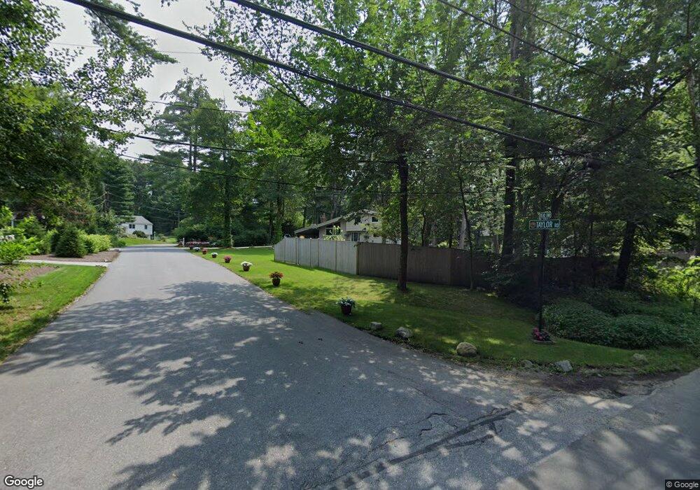
5 Taylor Rd Sudbury, MA 01776
Estimated Value: $855,000 - $945,000
4
Beds
2
Baths
1,740
Sq Ft
$511/Sq Ft
Est. Value
About This Home
This home is located at 5 Taylor Rd, Sudbury, MA 01776 and is currently estimated at $889,429, approximately $511 per square foot. 5 Taylor Rd is a home located in Middlesex County with nearby schools including Israel Loring Elementary School, Ephraim Curtis Middle School, and Lincoln-Sudbury Regional High School.
Ownership History
Date
Name
Owned For
Owner Type
Purchase Details
Closed on
Feb 15, 2024
Sold by
Jackson Aaron L
Bought by
Jackson Aaron L and Jackson Megan D
Current Estimated Value
Purchase Details
Closed on
Jul 29, 2003
Sold by
Olasky Steven
Bought by
Jackson Aaron L
Home Financials for this Owner
Home Financials are based on the most recent Mortgage that was taken out on this home.
Original Mortgage
$322,700
Interest Rate
5.27%
Mortgage Type
Purchase Money Mortgage
Create a Home Valuation Report for This Property
The Home Valuation Report is an in-depth analysis detailing your home's value as well as a comparison with similar homes in the area
Home Values in the Area
Average Home Value in this Area
Purchase History
| Date | Buyer | Sale Price | Title Company |
|---|---|---|---|
| Jackson Aaron L | -- | None Available | |
| Jackson Aaron L | -- | None Available | |
| Jackson Aaron L | $425,000 | -- | |
| Jackson Aaron L | $425,000 | -- |
Source: Public Records
Mortgage History
| Date | Status | Borrower | Loan Amount |
|---|---|---|---|
| Previous Owner | Jackson Aaron L | $419,210 | |
| Previous Owner | Jackson Aaron L | $322,700 |
Source: Public Records
Tax History Compared to Growth
Tax History
| Year | Tax Paid | Tax Assessment Tax Assessment Total Assessment is a certain percentage of the fair market value that is determined by local assessors to be the total taxable value of land and additions on the property. | Land | Improvement |
|---|---|---|---|---|
| 2025 | $11,131 | $760,300 | $439,000 | $321,300 |
| 2024 | $10,756 | $736,200 | $426,200 | $310,000 |
| 2023 | $10,697 | $678,300 | $394,600 | $283,700 |
| 2022 | $10,023 | $555,300 | $362,200 | $193,100 |
| 2021 | $9,713 | $515,800 | $362,200 | $153,600 |
| 2020 | $9,517 | $515,800 | $362,200 | $153,600 |
| 2019 | $9,236 | $515,700 | $362,200 | $153,500 |
| 2018 | $9,214 | $513,900 | $386,200 | $127,700 |
| 2017 | $8,620 | $485,900 | $367,400 | $118,500 |
| 2016 | $8,373 | $470,400 | $353,400 | $117,000 |
| 2015 | $7,580 | $430,700 | $322,800 | $107,900 |
| 2014 | $7,540 | $418,200 | $313,300 | $104,900 |
Source: Public Records
Map
Nearby Homes
- 36 Concord Rd
- 270 Old Lancaster Rd
- 23 Massasoit Ave
- 1011 Boston Post Rd
- 89 Bridle Path
- 94 Goodmans Hill Rd
- 24 Woodland Rd
- 216 Landham Rd
- 7 Adams Rd
- 30 Rolling Ln
- 0 Robbins Rd
- 128 Nobscot Rd
- 12 Hickory Rd
- 427 Concord Rd
- 6 Old County Rd Unit 16
- 7 Saddle Ridge Rd
- 24 Goodnow Rd
- 54 Stone Rd
- 36 Old Forge Ln
- 84 Hopestill Brown Rd