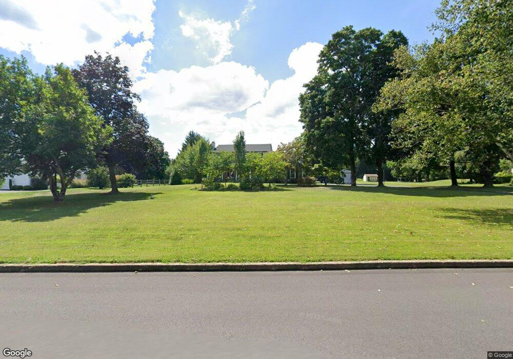
5 Tiffany Dr Perkasie, PA 18944
Estimated Value: $607,000 - $733,000
5
Beds
3
Baths
2,561
Sq Ft
$266/Sq Ft
Est. Value
About This Home
This home is located at 5 Tiffany Dr, Perkasie, PA 18944 and is currently estimated at $681,330, approximately $266 per square foot. 5 Tiffany Dr is a home located in Bucks County with nearby schools including Pennridge High School and Plumstead Christ School Peace Val.
Ownership History
Date
Name
Owned For
Owner Type
Purchase Details
Closed on
Jan 17, 2012
Sold by
Pepper Jeffrey and Pepper Terry
Bought by
Pepper Jeffrey and Pepper Terry
Current Estimated Value
Purchase Details
Closed on
Apr 23, 2010
Sold by
Erling Rodney H and Erling Lorraine K
Bought by
Pepper Jeffrey and Pepper Terry
Home Financials for this Owner
Home Financials are based on the most recent Mortgage that was taken out on this home.
Original Mortgage
$270,000
Outstanding Balance
$179,740
Interest Rate
4.99%
Mortgage Type
New Conventional
Estimated Equity
$501,590
Create a Home Valuation Report for This Property
The Home Valuation Report is an in-depth analysis detailing your home's value as well as a comparison with similar homes in the area
Home Values in the Area
Average Home Value in this Area
Purchase History
| Date | Buyer | Sale Price | Title Company |
|---|---|---|---|
| Pepper Jeffrey | -- | None Available | |
| Pepper Jeffrey | $370,000 | None Available |
Source: Public Records
Mortgage History
| Date | Status | Borrower | Loan Amount |
|---|---|---|---|
| Open | Pepper Jeffrey | $270,000 |
Source: Public Records
Tax History Compared to Growth
Tax History
| Year | Tax Paid | Tax Assessment Tax Assessment Total Assessment is a certain percentage of the fair market value that is determined by local assessors to be the total taxable value of land and additions on the property. | Land | Improvement |
|---|---|---|---|---|
| 2025 | $7,225 | $42,140 | $8,840 | $33,300 |
| 2024 | $7,225 | $42,140 | $8,840 | $33,300 |
| 2023 | $7,141 | $42,140 | $8,840 | $33,300 |
| 2022 | $7,141 | $42,140 | $8,840 | $33,300 |
| 2021 | $7,141 | $42,140 | $8,840 | $33,300 |
| 2020 | $7,141 | $42,140 | $8,840 | $33,300 |
| 2019 | $7,099 | $42,140 | $8,840 | $33,300 |
| 2018 | $7,099 | $42,140 | $8,840 | $33,300 |
| 2017 | $7,046 | $42,140 | $8,840 | $33,300 |
| 2016 | $7,046 | $42,140 | $8,840 | $33,300 |
| 2015 | -- | $42,140 | $8,840 | $33,300 |
| 2014 | -- | $42,140 | $8,840 | $33,300 |
Source: Public Records
Map
Nearby Homes
- 9 Dublin Rd
- 1161 Upper Stump Rd
- 315 Old Limekiln Lot 3 Rd
- 622 Welcome House Rd
- 161 Maple Ave
- 137 S Main St
- 81 Williams Dr
- Lot 6 Henry Ct
- 132 Applewood Ln
- 744 Broad St
- 116 Bishop Way
- 3789 Stump Rd
- 135 Bishop Way
- 238 Allem Ln Unit 238
- 169 Marlyn Ln
- 204 Pennland Farm Dr
- 178 Elephant Rd Unit C26
- 178 Elephant Rd Unit A6
- 319 Pennington Way
- 316 Schadle Rd