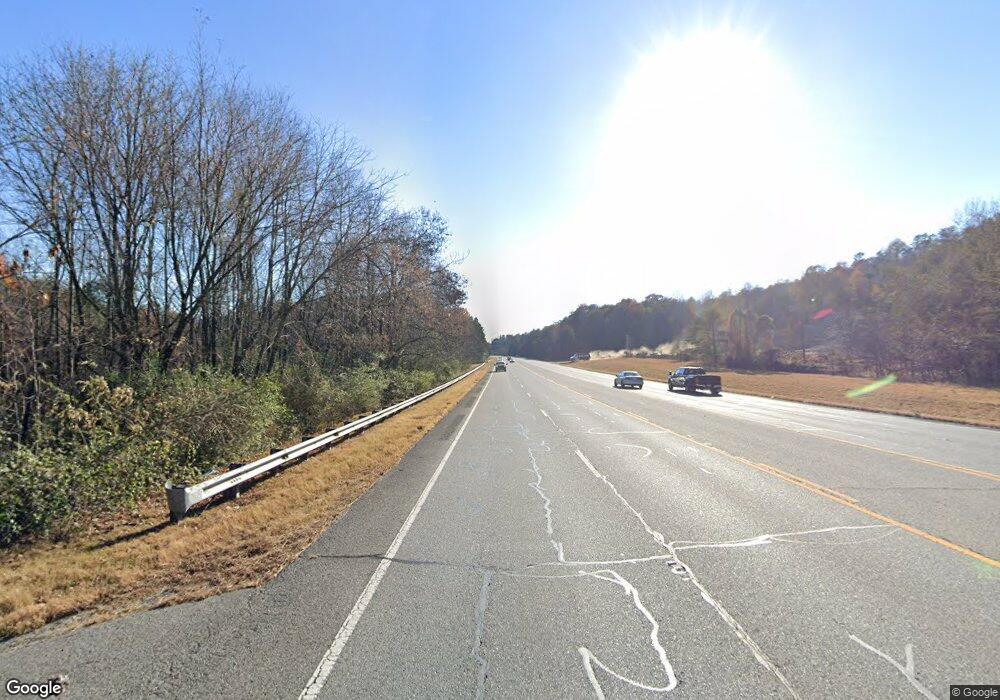
5 Tom Tom Trail Blue Ridge, GA 30513
Estimated Value: $210,392 - $405,000
1
Bed
1
Bath
1,035
Sq Ft
$305/Sq Ft
Est. Value
About This Home
This home is located at 5 Tom Tom Trail, Blue Ridge, GA 30513 and is currently estimated at $315,848, approximately $305 per square foot. 5 Tom Tom Trail is a home located in Fannin County with nearby schools including Fannin County High School.
Ownership History
Date
Name
Owned For
Owner Type
Purchase Details
Closed on
Oct 17, 2011
Sold by
Studstill Sharyn
Bought by
Bracewell Jamie P
Current Estimated Value
Home Financials for this Owner
Home Financials are based on the most recent Mortgage that was taken out on this home.
Original Mortgage
$54,400
Outstanding Balance
$5,162
Interest Rate
4.16%
Mortgage Type
New Conventional
Estimated Equity
$310,686
Purchase Details
Closed on
Dec 11, 2006
Sold by
Hooper Elizabeth M
Bought by
Hoopers Last Resort Inc
Purchase Details
Closed on
Mar 7, 2006
Sold by
Hoopers Last Resort Inc
Bought by
Hooper Elizabeth M
Create a Home Valuation Report for This Property
The Home Valuation Report is an in-depth analysis detailing your home's value as well as a comparison with similar homes in the area
Home Values in the Area
Average Home Value in this Area
Purchase History
| Date | Buyer | Sale Price | Title Company |
|---|---|---|---|
| Bracewell Jamie P | $68,000 | -- | |
| Hoopers Last Resort Inc | -- | -- | |
| Hooper Elizabeth M | -- | -- |
Source: Public Records
Mortgage History
| Date | Status | Borrower | Loan Amount |
|---|---|---|---|
| Open | Bracewell Jamie P | $54,400 |
Source: Public Records
Tax History Compared to Growth
Tax History
| Year | Tax Paid | Tax Assessment Tax Assessment Total Assessment is a certain percentage of the fair market value that is determined by local assessors to be the total taxable value of land and additions on the property. | Land | Improvement |
|---|---|---|---|---|
| 2024 | $770 | $84,003 | $7,264 | $76,739 |
| 2023 | $701 | $68,741 | $7,692 | $61,049 |
| 2022 | $710 | $69,631 | $7,692 | $61,939 |
| 2021 | $582 | $41,486 | $4,062 | $37,424 |
| 2020 | $579 | $40,624 | $3,200 | $37,424 |
| 2019 | $477 | $32,850 | $1,440 | $31,410 |
| 2018 | $506 | $32,850 | $1,440 | $31,410 |
| 2017 | $802 | $45,348 | $1,440 | $43,908 |
| 2016 | $612 | $36,059 | $1,440 | $34,619 |
| 2015 | $648 | $36,526 | $1,440 | $35,086 |
| 2014 | $663 | $37,232 | $1,080 | $36,152 |
| 2013 | -- | $22,278 | $1,080 | $21,198 |
Source: Public Records
Map
Nearby Homes
- 25 Nickwasi Way
- 170 Community Hill Dr Unit 54
- 170 Community Hill Dr
- Lot 53 Community Hill Dr Unit 53
- Lot 52 Community Hill Dr Unit 52
- Lot 52 Community Hill Dr
- Lot 53 Community Hill Dr
- 417 S Dream Catcher
- 351 S Dream Catcher
- 337 Star Gaze Ridge
- 399 S Dream Catcher
- 79 N Dream Catcher
- 0 Left Turn
- 00 Left Turn
- 256 Nantahala Pass Rd
- 87 Rustic Ridge
- 290 Left Turn
- 350 Left Turn Unit 15
- 350 Left Turn
- Lot 2 Hudson Hollow Rd
- 201 Cheyenne Trail
- 0 Tee Pee Pass Unit 7329470
- 280 Cheyenne Trail
- 29 Arrowhead Leap
- 269 Cheyenne Trail
- 29 Arrowhead Leap
- 35 Arrowhead Leep
- 286 Cheyenne Trail
- 111 Tom Tr
- 80 Tom Tom Trail
- 111 Tom Trail
- 107 Tee Pee Pass
- 46 Arrowhead Leap
- 47 Tee Pee Pass
- 323 Cheyenne Trail
- 130 Cheyenne Trail
- 73 Cheyenne Trail
- 322 Cheyenne Trail
- 110 Tom Tom Trail
- 25 Nickawasi Way
