5 Top Flight Dr Unit D Norton, MA 02766
Estimated Value: $539,000 - $587,000
2
Beds
2
Baths
2,085
Sq Ft
$270/Sq Ft
Est. Value
About This Home
This home is located at 5 Top Flight Dr Unit D, Norton, MA 02766 and is currently estimated at $562,993, approximately $270 per square foot. 5 Top Flight Dr Unit D is a home located in Bristol County with nearby schools including J.C. Solmonese Elementary School, Henri A. Yelle Elementary School, and Norton Middle School.
Ownership History
Date
Name
Owned For
Owner Type
Purchase Details
Closed on
Nov 16, 2010
Sold by
Deeb Michael P
Bought by
Slade Frederick G and Slade Janice M
Current Estimated Value
Purchase Details
Closed on
Mar 30, 2007
Sold by
Flynn Christopher W
Bought by
Deeb Michael P
Home Financials for this Owner
Home Financials are based on the most recent Mortgage that was taken out on this home.
Original Mortgage
$276,000
Interest Rate
6.33%
Mortgage Type
Purchase Money Mortgage
Create a Home Valuation Report for This Property
The Home Valuation Report is an in-depth analysis detailing your home's value as well as a comparison with similar homes in the area
Home Values in the Area
Average Home Value in this Area
Purchase History
We collect this data history from publicly available records. To have your information removed, we recommend requesting removal directly through your county’s website.
| Date | Buyer | Sale Price | Title Company |
|---|---|---|---|
| Slade Frederick G | $308,500 | -- | |
| Deeb Michael P | $345,000 | -- |
Source: Public Records
Mortgage History
We collect this data history from publicly available records. To have your information removed, we recommend requesting removal directly through your county’s website.
| Date | Status | Borrower | Loan Amount |
|---|---|---|---|
| Previous Owner | Deeb Michael P | $276,000 |
Source: Public Records
Tax History
| Year | Tax Paid | Tax Assessment Tax Assessment Total Assessment is a certain percentage of the fair market value that is determined by local assessors to be the total taxable value of land and additions on the property. | Land | Improvement |
|---|---|---|---|---|
| 2025 | $60 | $459,000 | $0 | $459,000 |
| 2024 | $5,813 | $448,900 | $0 | $448,900 |
| 2023 | $5,270 | $405,700 | $0 | $405,700 |
| 2022 | $5,128 | $359,600 | $0 | $359,600 |
| 2021 | $4,978 | $333,400 | $0 | $333,400 |
| 2020 | $4,893 | $330,600 | $0 | $330,600 |
| 2019 | $4,717 | $316,600 | $0 | $316,600 |
| 2018 | $5,071 | $334,500 | $0 | $334,500 |
| 2017 | $4,905 | $319,100 | $0 | $319,100 |
| 2016 | $5,094 | $326,300 | $0 | $326,300 |
| 2015 | $4,926 | $320,100 | $0 | $320,100 |
| 2014 | $4,436 | $288,600 | $0 | $288,600 |
Source: Public Records
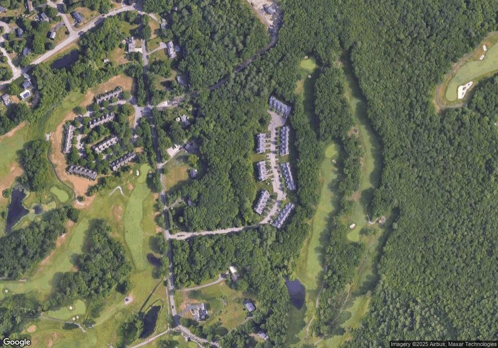
Map
Nearby Homes
- 343 Godfrey Dr
- 10 Anna Way
- 162 Godfrey Dr Unit 162
- 238 N Worcester St
- 1 Great Woods Cir
- 7 Village Way Unit C
- 11 Village Way Unit F
- 83 N Worcester St
- 361 Richardson Ave
- 275 W Main St
- 925 Pleasant St
- 1125 School St
- 933 Pleasant St
- 174 Gilbert St
- 56 S Worcester St
- 49 Pheasant Hill Rd
- 108 S Worcester St
- 19 Barberry Rd
- 66 S Worcester St Unit E
- 127 S Worcester St
- 5 Top Flight Dr Unit A
- 5 Top Flight Dr Unit B
- 5 Top Flight Dr Unit C
- 5 Top Flight Dr Unit E
- 5 Top Flight Dr Unit F
- 5D Top Flight Dr Unit 5d
- 5 Top Flight Dr Unit E 5
- 5 Top Flight Dr Unit B
- 5 Top Flight Dr
- 5D Top Flight Dr Unit D
- 3 E Top Flight Dr Unit E3
- 3 Top Flight Dr Unit A
- 3 Top Flight Dr Unit B
- 3 Top Flight Dr Unit C
- 3 Top Flight Dr Unit D
- 3 Top Flight Dr Unit E
- 3 Top Flight Dr Unit F
- 3 Top Flight Dr Unit 5,9
- 3 Top Flight Dr Unit 3-F,3
- 3F Top Flight Dr
Your Personal Tour Guide
Ask me questions while you tour the home.