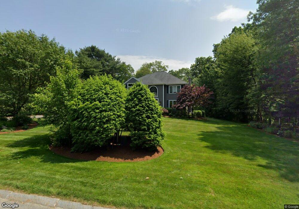
5 Tracey Ln Sharon, MA 02067
Estimated Value: $1,166,000 - $1,485,000
4
Beds
4
Baths
2,890
Sq Ft
$454/Sq Ft
Est. Value
About This Home
This home is located at 5 Tracey Ln, Sharon, MA 02067 and is currently estimated at $1,311,215, approximately $453 per square foot. 5 Tracey Ln is a home located in Norfolk County with nearby schools including Heights Elementary School, Sharon Middle School, and Sharon High School.
Ownership History
Date
Name
Owned For
Owner Type
Purchase Details
Closed on
Jun 25, 1999
Sold by
Wolf Steven D and Wolf Marlene M
Bought by
Shapiro Kim A and Shapiro Bruce M
Current Estimated Value
Purchase Details
Closed on
Jun 16, 1994
Sold by
Intoccia Constr Co Inc
Bought by
Wolf Steven D and Wolf Marlene M
Create a Home Valuation Report for This Property
The Home Valuation Report is an in-depth analysis detailing your home's value as well as a comparison with similar homes in the area
Home Values in the Area
Average Home Value in this Area
Purchase History
| Date | Buyer | Sale Price | Title Company |
|---|---|---|---|
| Shapiro Kim A | $423,000 | -- | |
| Wolf Steven D | $360,000 | -- |
Source: Public Records
Mortgage History
| Date | Status | Borrower | Loan Amount |
|---|---|---|---|
| Open | Wolf Steven D | $598,500 | |
| Closed | Wolf Steven D | $126,900 |
Source: Public Records
Tax History
| Year | Tax Paid | Tax Assessment Tax Assessment Total Assessment is a certain percentage of the fair market value that is determined by local assessors to be the total taxable value of land and additions on the property. | Land | Improvement |
|---|---|---|---|---|
| 2025 | $18,763 | $1,073,400 | $519,200 | $554,200 |
| 2024 | $18,039 | $1,026,100 | $476,400 | $549,700 |
| 2023 | $17,192 | $924,800 | $445,500 | $479,300 |
| 2022 | $16,373 | $829,000 | $371,200 | $457,800 |
| 2021 | $16,242 | $795,000 | $350,100 | $444,900 |
| 2020 | $15,105 | $795,000 | $350,100 | $444,900 |
| 2019 | $15,144 | $780,200 | $335,300 | $444,900 |
| 2018 | $14,803 | $764,200 | $328,500 | $435,700 |
| 2017 | $14,578 | $743,000 | $307,300 | $435,700 |
| 2016 | $14,178 | $705,000 | $307,300 | $397,700 |
| 2015 | $15,617 | $769,300 | $333,100 | $436,200 |
| 2014 | $14,463 | $703,800 | $302,700 | $401,100 |
Source: Public Records
Map
Nearby Homes
- 260 Massapoag Ave
- 1 Revere Dr
- Lot One Old Wolomolopoag St
- Lot Two Old Wolomolopoag St
- 261 East St
- 350 Mountain St
- 485-487 Stearns Ave
- 251 Poquanticut Ave
- 148 Stearns Ave
- 4 Eagle Rock Rd
- 16 Erick Rd Unit 34
- 45 Kingsbrook Way
- 6 Kingsley Rd
- 631 East St Unit E203
- 668 S Main St
- 74 Eisenhower Dr
- 619 N Main St
- 4 Concetta Cir
- 147 Chestnut St Unit A
- 147 Chestnut St Unit B