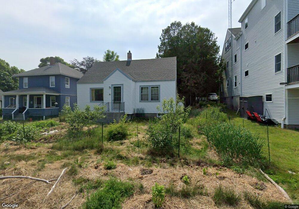
5 Tracy Rd Mount Desert, ME 04660
Estimated Value: $788,000 - $1,197,000
4
Beds
2
Baths
2,112
Sq Ft
$470/Sq Ft
Est. Value
About This Home
This home is located at 5 Tracy Rd, Mount Desert, ME 04660 and is currently estimated at $992,500, approximately $469 per square foot. 5 Tracy Rd is a home located in Hancock County with nearby schools including Mt Desert Elementary School and Mt. Desert Island High School.
Ownership History
Date
Name
Owned For
Owner Type
Purchase Details
Closed on
Sep 17, 2014
Sold by
Carr Harland W Est
Bought by
Avila Lelania B and Avila Kyle
Current Estimated Value
Home Financials for this Owner
Home Financials are based on the most recent Mortgage that was taken out on this home.
Original Mortgage
$211,600
Outstanding Balance
$161,994
Interest Rate
4.14%
Mortgage Type
New Conventional
Estimated Equity
$830,506
Create a Home Valuation Report for This Property
The Home Valuation Report is an in-depth analysis detailing your home's value as well as a comparison with similar homes in the area
Purchase History
| Date | Buyer | Sale Price | Title Company |
|---|---|---|---|
| Avila Lelania B | -- | -- |
Source: Public Records
Mortgage History
| Date | Status | Borrower | Loan Amount |
|---|---|---|---|
| Open | Avila Lelania B | $211,600 |
Source: Public Records
Tax History
| Year | Tax Paid | Tax Assessment Tax Assessment Total Assessment is a certain percentage of the fair market value that is determined by local assessors to be the total taxable value of land and additions on the property. | Land | Improvement |
|---|---|---|---|---|
| 2024 | $2,850 | $306,400 | $147,000 | $159,400 |
| 2023 | $2,578 | $295,600 | $136,200 | $159,400 |
| 2022 | $2,377 | $295,600 | $136,200 | $159,400 |
| 2021 | $2,171 | $263,100 | $161,600 | $101,500 |
| 2020 | $2,100 | $263,100 | $161,600 | $101,500 |
| 2019 | $2,092 | $263,100 | $161,600 | $101,500 |
| 2018 | $1,997 | $260,300 | $161,600 | $98,700 |
| 2017 | $1,931 | $260,300 | $161,600 | $98,700 |
| 2016 | $1,892 | $260,300 | $161,600 | $98,700 |
| 2015 | $1,910 | $268,700 | $162,700 | $106,000 |
| 2013 | $1,822 | $268,700 | $162,700 | $106,000 |
Source: Public Records
Map
Nearby Homes
- 6 Gilpatrick Ln
- 6 Sea St
- 49 Summit Rd
- 30 Neighborhood Rd
- 3 and 5 Graves Lane Harbor NE
- 65 Summit Rd
- 16 Millbrook-Northeast Harbor Rd
- 13 Smallidge Point Rd
- 21 Tennis Club Rd
- 87 Peabody Drive (Northeast Hrbr)
- 77 Manchester Rd
- 4 Highlands (Northeast Hrbr) Ln
- 120 Clark Point Rd
- 00 Fernald Point Rd
- 292 Main St
- 14 Seal Cove Rd
- 20 Wesley Ave
- 471 Main St
- 10 Robinson Ln Unit 18
- 332 Seawall Rd
Your Personal Tour Guide
Ask me questions while you tour the home.