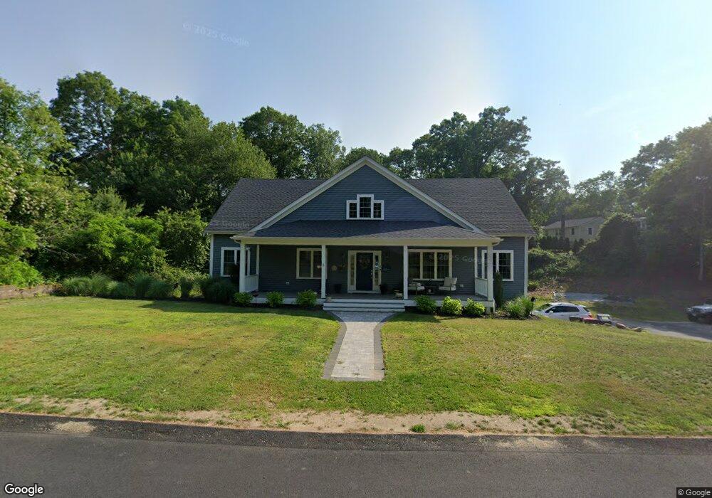
5 Truman Ave Plymouth, MA 02360
Estimated Value: $844,000 - $1,129,100
3
Beds
1
Bath
2,050
Sq Ft
$491/Sq Ft
Est. Value
About This Home
This home is located at 5 Truman Ave, Plymouth, MA 02360 and is currently estimated at $1,006,025, approximately $490 per square foot. 5 Truman Ave is a home located in Plymouth County with nearby schools including Manomet Elementary School, Plymouth Community Intermediate, and Plymouth North High School.
Ownership History
Date
Name
Owned For
Owner Type
Purchase Details
Closed on
May 9, 2003
Sold by
Obrien Matthew C
Bought by
Gilmore David
Current Estimated Value
Purchase Details
Closed on
May 14, 1999
Sold by
Dobson Troy W and Dobson Diane E
Bought by
Obrien Matthew C
Purchase Details
Closed on
Aug 25, 1995
Sold by
Morse Ralph G and Morse Michelle A
Bought by
Dobson Troy W and Dobson Diane E
Purchase Details
Closed on
Nov 8, 1988
Sold by
Schofield Robt
Bought by
Morse Ralph G
Create a Home Valuation Report for This Property
The Home Valuation Report is an in-depth analysis detailing your home's value as well as a comparison with similar homes in the area
Home Values in the Area
Average Home Value in this Area
Purchase History
| Date | Buyer | Sale Price | Title Company |
|---|---|---|---|
| Gilmore David | $263,000 | -- | |
| Obrien Matthew C | $125,000 | -- | |
| Dobson Troy W | $100,000 | -- | |
| Morse Ralph G | $116,000 | -- |
Source: Public Records
Mortgage History
| Date | Status | Borrower | Loan Amount |
|---|---|---|---|
| Open | Morse Ralph G | $55,000 | |
| Closed | Morse Ralph G | $45,000 | |
| Open | Morse Ralph G | $251,200 |
Source: Public Records
Tax History Compared to Growth
Tax History
| Year | Tax Paid | Tax Assessment Tax Assessment Total Assessment is a certain percentage of the fair market value that is determined by local assessors to be the total taxable value of land and additions on the property. | Land | Improvement |
|---|---|---|---|---|
| 2025 | $10,977 | $865,000 | $217,300 | $647,700 |
| 2024 | $10,573 | $821,500 | $198,300 | $623,200 |
| 2023 | $10,335 | $753,800 | $178,300 | $575,500 |
| 2022 | $3,216 | $208,400 | $168,000 | $40,400 |
| 2021 | $4,108 | $254,200 | $168,000 | $86,200 |
| 2020 | $4,823 | $295,000 | $153,000 | $142,000 |
| 2019 | $4,633 | $280,100 | $143,000 | $137,100 |
| 2018 | $4,420 | $268,500 | $133,000 | $135,500 |
| 2017 | $4,283 | $258,300 | $133,000 | $125,300 |
| 2016 | $4,058 | $249,400 | $123,000 | $126,400 |
| 2015 | $3,818 | $245,700 | $118,000 | $127,700 |
| 2014 | $3,658 | $241,800 | $118,000 | $123,800 |
Source: Public Records
Map
Nearby Homes
- 84 Bartlett Rd
- 90 Bartlett Rd
- 32 Ray Rd
- 3 Clearwater Dr
- 158 Bartlett Rd
- 17 Fresh Pond Cir
- 38 Hawley Ave
- 38 Hawley Ave Unit 38
- 54 Manomet Point Rd
- 2 Tideview Path Unit 4
- 10 Tideview Path Unit 16
- 10 Tideview Path Unit 18
- 10 Tideview Path Unit 13
- 9 Tideview Path Unit 8
- 14 O'Toole Rd Unit 14
- 65 Hilltop Ave
- 59 Hilltop Ave
- 0 Bogside Dr
- 4 Old Field Rd Unit 4
- 4 Old Field Rd