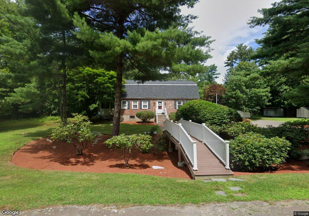
5 Village Gate Rd Canton, MA 02021
Estimated Value: $917,987 - $1,216,000
3
Beds
3
Baths
2,288
Sq Ft
$455/Sq Ft
Est. Value
About This Home
This home is located at 5 Village Gate Rd, Canton, MA 02021 and is currently estimated at $1,041,997, approximately $455 per square foot. 5 Village Gate Rd is a home located in Norfolk County.
Ownership History
Date
Name
Owned For
Owner Type
Purchase Details
Closed on
Nov 24, 2009
Sold by
Radford Scott W and Radford Christine M
Bought by
Felix Ronnie L and Felix Deborah A
Current Estimated Value
Home Financials for this Owner
Home Financials are based on the most recent Mortgage that was taken out on this home.
Original Mortgage
$508,750
Outstanding Balance
$331,154
Interest Rate
4.86%
Mortgage Type
Purchase Money Mortgage
Estimated Equity
$710,843
Purchase Details
Closed on
Jun 8, 2005
Sold by
Radford Diane and Radford John W
Bought by
Radford Christine M and Radford Scott W
Home Financials for this Owner
Home Financials are based on the most recent Mortgage that was taken out on this home.
Original Mortgage
$500,000
Interest Rate
5.79%
Mortgage Type
Purchase Money Mortgage
Create a Home Valuation Report for This Property
The Home Valuation Report is an in-depth analysis detailing your home's value as well as a comparison with similar homes in the area
Home Values in the Area
Average Home Value in this Area
Purchase History
| Date | Buyer | Sale Price | Title Company |
|---|---|---|---|
| Felix Ronnie L | $550,000 | -- | |
| Radford Christine M | $650,000 | -- |
Source: Public Records
Mortgage History
| Date | Status | Borrower | Loan Amount |
|---|---|---|---|
| Open | Felix Ronnie L | $508,750 | |
| Previous Owner | Radford Christine M | $500,000 |
Source: Public Records
Tax History Compared to Growth
Tax History
| Year | Tax Paid | Tax Assessment Tax Assessment Total Assessment is a certain percentage of the fair market value that is determined by local assessors to be the total taxable value of land and additions on the property. | Land | Improvement |
|---|---|---|---|---|
| 2025 | $8,323 | $841,600 | $363,800 | $477,800 |
| 2024 | $8,134 | $815,800 | $349,800 | $466,000 |
| 2023 | $7,917 | $749,000 | $349,800 | $399,200 |
| 2022 | $7,675 | $676,200 | $333,100 | $343,100 |
| 2021 | $7,503 | $615,000 | $302,800 | $312,200 |
| 2020 | $6,909 | $564,900 | $262,400 | $302,500 |
| 2019 | $6,791 | $547,700 | $238,500 | $309,200 |
| 2018 | $6,602 | $531,600 | $229,300 | $302,300 |
| 2017 | $6,671 | $521,600 | $224,800 | $296,800 |
| 2016 | $6,559 | $512,800 | $219,300 | $293,500 |
| 2015 | $6,355 | $495,700 | $213,000 | $282,700 |
Source: Public Records
Map
Nearby Homes
- 11 Ledgewood Dr
- 50 Indian Ln
- 106 Indian Ln
- 3 Spotted Turtle Path Unit 24-2
- 30 Manitou Rd
- 888 Turnpike St
- 43 Ledgebrook Ave
- 15 Kensington Dr
- 280 Deady Ave
- 33 Kelly Way Unit 33
- 14 Iris Ct Unit 14
- 545 Page St Unit 208
- Lot 2 Pondview Ln
- Lot 1 Pondview Ln
- 68 High St
- 79 Gold St
- 0 Washington St Unit 72888098
- 0 Washington St Unit 71897113
- 98 Glen Echo Blvd
- 19 Camelot Ct
- 14 Weathervane Rd
- 7 Village Gate Rd
- 12 Weathervane Rd
- 12 Weathervane Rd Unit 1
- 3 Village Gate Rd
- 8 Village Gate Rd
- 6 Village Gate Rd
- 16 Weathervane Rd
- 10 Village Gate Rd
- 10 Weathervane Rd
- 11 Village Gate Rd
- 18 Weathervane Rd
- 4 Village Gate Rd
- 15 Weathervane Rd
- 6 Wayside Ln
- 10 Helen Dr
- 9 Helen Dr
- 12 Village Gate Rd
- 6 Weathervane Rd
- 10 Wayside Ln