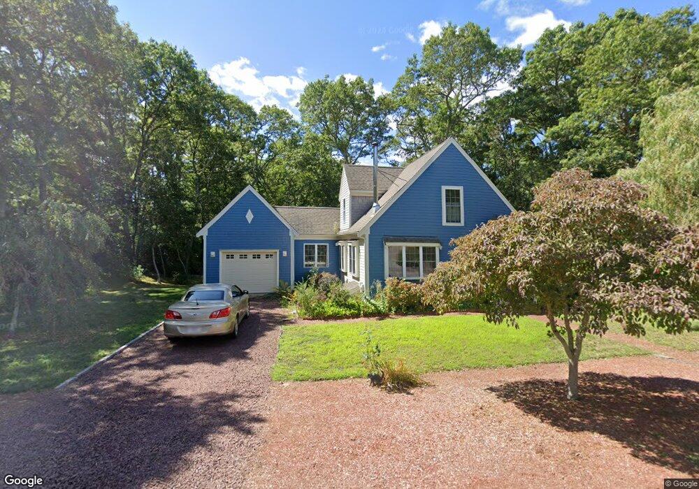
5 Vineyard Ln Harwich, MA 02645
Northwest Harwich NeighborhoodEstimated Value: $716,000 - $917,000
3
Beds
3
Baths
1,657
Sq Ft
$479/Sq Ft
Est. Value
About This Home
This home is located at 5 Vineyard Ln, Harwich, MA 02645 and is currently estimated at $793,707, approximately $479 per square foot. 5 Vineyard Ln is a home located in Barnstable County with nearby schools including Harwich Elementary School, Chatham Elementary School, and Monomoy Regional Middle School.
Ownership History
Date
Name
Owned For
Owner Type
Purchase Details
Closed on
Nov 25, 1998
Sold by
Channel Dev Corp
Bought by
Zeni David
Current Estimated Value
Purchase Details
Closed on
May 12, 1998
Sold by
Ladap Inc
Bought by
Channel Dev Corp
Create a Home Valuation Report for This Property
The Home Valuation Report is an in-depth analysis detailing your home's value as well as a comparison with similar homes in the area
Home Values in the Area
Average Home Value in this Area
Purchase History
| Date | Buyer | Sale Price | Title Company |
|---|---|---|---|
| Zeni David | $159,900 | -- | |
| Channel Dev Corp | $32,500 | -- |
Source: Public Records
Mortgage History
| Date | Status | Borrower | Loan Amount |
|---|---|---|---|
| Open | Channel Dev Corp | $150,000 | |
| Closed | Channel Dev Corp | $125,000 | |
| Closed | Channel Dev Corp | $25,000 | |
| Closed | Channel Dev Corp | $112,000 |
Source: Public Records
Tax History Compared to Growth
Tax History
| Year | Tax Paid | Tax Assessment Tax Assessment Total Assessment is a certain percentage of the fair market value that is determined by local assessors to be the total taxable value of land and additions on the property. | Land | Improvement |
|---|---|---|---|---|
| 2025 | $3,729 | $630,900 | $194,800 | $436,100 |
| 2024 | $3,587 | $594,800 | $183,700 | $411,100 |
| 2023 | $3,428 | $516,300 | $167,000 | $349,300 |
| 2022 | $3,336 | $411,400 | $145,300 | $266,100 |
| 2021 | $3,271 | $380,300 | $135,000 | $245,300 |
| 2020 | $3,247 | $371,900 | $133,500 | $238,400 |
| 2019 | $3,135 | $361,600 | $128,300 | $233,300 |
| 2018 | $2,649 | $337,700 | $116,700 | $221,000 |
| 2017 | $2,853 | $318,100 | $101,000 | $217,100 |
| 2016 | $2,779 | $306,400 | $101,000 | $205,400 |
| 2015 | $2,699 | $300,900 | $99,000 | $201,900 |
| 2014 | $2,606 | $297,200 | $101,100 | $196,100 |
Source: Public Records
Map
Nearby Homes
- 2 Bassett Woods Rd
- 12 Old Campground Rd
- 18 Old Campground
- 13 Six Penny Ln
- 13 6 Penny Ln
- 116 Sisson Rd
- 98 North Rd
- 2 Englewood Dr Unit D-7
- 292 Route 28 Unit 7
- 213 S Westgate Rd
- 25 Robbins Rd
- 264 Massachusetts 28
- 297 Massachusetts 28 Unit 1
- 297 Massachusetts 28
- 275 Massachusetts 28
- 7 Tonis Way
- 64 Smith St
- 116 Parallel St
- 231 Route 28 Unit 15
- 231 Massachusetts 28 Unit U15
- 7 Vineyard Ln
- 3 Vineyard Ln
- 8 Vineyard Ln
- 6 Vineyard Ln
- 4 Vineyard Ln
- 9 Vineyard Ln
- 9 Vineyard Ln
- 10 Vineyard Ln
- 2 Vineyard Ln
- 362 Great Western Rd
- 1 Vineyard Ln
- 12 Vineyard Ln
- 368 Great Western Rd
- 1 Vineyard Ln
- 265 Lothrop Ave
- 11 Vineyard Ln
- 14 Vineyard Ln
- 439 Main St
- 374 Great Western Rd
- 13 Vineyard Ln