Estimated Value: $264,960 - $411,000
Studio
--
Bath
1,238
Sq Ft
$273/Sq Ft
Est. Value
About This Home
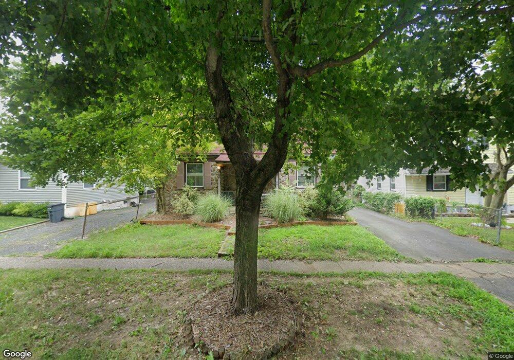
This home is located at 5 W Upper Ferry Rd, Ewing, NJ 08628 and is currently estimated at $338,240, approximately $273 per square foot. 5 W Upper Ferry Rd is a home located in Mercer County with nearby schools including Ewing High School, The Village Charter School, and Trenton Stem-To-Civics Charter School.
Ownership History
Date
Name
Owned For
Owner Type
Purchase Details
Closed on
Oct 11, 2006
Sold by
Chizmadia Glen
Bought by
Argenti Anthony
Current Estimated Value
Home Financials for this Owner
Home Financials are based on the most recent Mortgage that was taken out on this home.
Original Mortgage
$128,000
Outstanding Balance
$74,429
Interest Rate
6.47%
Estimated Equity
$263,811
Purchase Details
Closed on
Aug 9, 1991
Sold by
Hoagland Randy C
Bought by
Chizmadia George R Ux
Create a Home Valuation Report for This Property
The Home Valuation Report is an in-depth analysis detailing your home's value as well as a comparison with similar homes in the area
Home Values in the Area
Average Home Value in this Area
Purchase History
| Date | Buyer | Sale Price | Title Company |
|---|---|---|---|
| Argenti Anthony | $160,000 | -- | |
| Chizmadia George R Ux | $95,000 | -- |
Source: Public Records
Mortgage History
| Date | Status | Borrower | Loan Amount |
|---|---|---|---|
| Open | Argenti Anthony | $128,000 |
Source: Public Records
Tax History
| Year | Tax Paid | Tax Assessment Tax Assessment Total Assessment is a certain percentage of the fair market value that is determined by local assessors to be the total taxable value of land and additions on the property. | Land | Improvement |
|---|---|---|---|---|
| 2025 | $6,143 | $156,200 | $65,700 | $90,500 |
| 2024 | $5,775 | $156,200 | $65,700 | $90,500 |
| 2023 | $5,775 | $156,200 | $65,700 | $90,500 |
| 2022 | $5,619 | $156,200 | $65,700 | $90,500 |
| 2021 | $5,481 | $156,200 | $65,700 | $90,500 |
| 2020 | $5,403 | $156,200 | $65,700 | $90,500 |
| 2019 | $5,262 | $156,200 | $65,700 | $90,500 |
| 2018 | $4,981 | $94,300 | $50,000 | $44,300 |
| 2017 | $5,097 | $94,300 | $50,000 | $44,300 |
| 2016 | $5,028 | $94,300 | $50,000 | $44,300 |
| 2015 | $4,961 | $94,300 | $50,000 | $44,300 |
| 2014 | $4,948 | $94,300 | $50,000 | $44,300 |
Source: Public Records
Map
Nearby Homes
- 6 Michelle Ct
- 15 Decou Ave
- 1200 Silvia St
- 107 Kyle Way
- 18 Kyle Way
- 121 Kyle Way
- 59 Kyle Way
- 322 Wynnewood Rd
- 152 Franklyn Rd
- 22 Crockett Ln
- 18 Pioneer Ct
- 5 Pioneer Ct
- 1183 Lower Ferry Rd
- 860 Lower Ferry Rd Unit 5P
- 860 Lower Ferry Rd Unit 4C
- 860 Lower Ferry Rd Unit 2K
- 21 Pioneer Ct
- 2 Devonshire Ct
- 4 Birch Run Ct
- 1 Devonshire Ct
- 3 W Upper Ferry Rd
- 7 W Upper Ferry Rd
- 9 W Upper Ferry Rd
- 1 W Upper Ferry Rd
- 13 Decou Ave
- 11 W Upper Ferry Rd
- 15 W Upper Ferry Rd
- 8 Michelle Ct
- 20 W Upper Ferry Rd
- 17 W Upper Ferry Rd
- 17 Decou Ave
- 1569 Parkway Ave
- 1569 Parkway Ave Unit APARTMENT 4
- 1569 Parkway Ave Unit C
- 1569 Parkway Ave Unit A-B
- 1569 Parkway Ave Unit D-E
- 1569 Parkway Ave Unit F-G
- 5 Michelle Ct
- 19 W Upper Ferry Rd
- 10 Michelle Ct
Your Personal Tour Guide
Ask me questions while you tour the home.