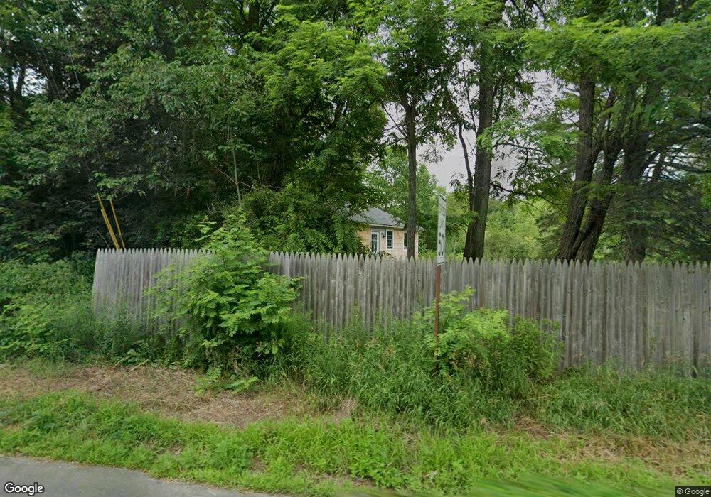
5 W Waldo Rd Belfast, ME 04915
Estimated Value: $275,000 - $311,083
2
Beds
1
Bath
852
Sq Ft
$335/Sq Ft
Est. Value
About This Home
This home is located at 5 W Waldo Rd, Belfast, ME 04915 and is currently estimated at $285,771, approximately $335 per square foot. 5 W Waldo Rd is a home located in Waldo County with nearby schools including Cornerspring Children's House and The School At Sweetser - Belfast.
Ownership History
Date
Name
Owned For
Owner Type
Purchase Details
Closed on
Jun 3, 2019
Sold by
Condon Katelyn R
Bought by
Palm Alison R
Current Estimated Value
Home Financials for this Owner
Home Financials are based on the most recent Mortgage that was taken out on this home.
Original Mortgage
$126,480
Outstanding Balance
$111,430
Interest Rate
4.2%
Mortgage Type
New Conventional
Estimated Equity
$174,341
Purchase Details
Closed on
Apr 7, 2014
Sold by
Msha
Bought by
Frieden Miles D and Kelly-Hamm Alan
Create a Home Valuation Report for This Property
The Home Valuation Report is an in-depth analysis detailing your home's value as well as a comparison with similar homes in the area
Home Values in the Area
Average Home Value in this Area
Purchase History
| Date | Buyer | Sale Price | Title Company |
|---|---|---|---|
| Palm Alison R | -- | -- | |
| Frieden Miles D | -- | -- |
Source: Public Records
Mortgage History
| Date | Status | Borrower | Loan Amount |
|---|---|---|---|
| Open | Palm Alison R | $126,480 |
Source: Public Records
Tax History Compared to Growth
Tax History
| Year | Tax Paid | Tax Assessment Tax Assessment Total Assessment is a certain percentage of the fair market value that is determined by local assessors to be the total taxable value of land and additions on the property. | Land | Improvement |
|---|---|---|---|---|
| 2024 | $3,155 | $204,900 | $55,500 | $149,400 |
| 2023 | $2,498 | $124,300 | $43,100 | $81,200 |
| 2022 | $2,559 | $119,600 | $43,100 | $76,500 |
| 2021 | $2,631 | $119,600 | $43,100 | $76,500 |
| 2020 | $2,670 | $114,600 | $43,100 | $71,500 |
| 2019 | $2,269 | $99,100 | $40,500 | $58,600 |
| 2018 | $2,250 | $99,100 | $40,500 | $58,600 |
| 2017 | $2,102 | $96,000 | $40,500 | $55,500 |
| 2016 | $1,582 | $69,100 | $25,600 | $43,500 |
| 2015 | $1,548 | $69,100 | $25,600 | $43,500 |
| 2014 | $1,496 | $69,100 | $25,600 | $43,500 |
| 2013 | $1,437 | $69,100 | $25,600 | $43,500 |
Source: Public Records
Map
Nearby Homes
- 050-C-1 W Waldo Rd
- 99 Waterville Rd
- 243 Waterville Rd
- 62 City Point Rd
- 86 Oak Hill Rd
- 17 Marsh Rd
- 128 Shepard Rd
- 000 Merriam Rd
- 0 Robbins Rd Unit 1634953
- 388 High St
- 20 Springbrook Dr Unit TH-6
- 225 Waldo Ave
- 0 Patterson Hill Rd Unit Lot 2 1614981
- 159 Waldo Ave
- 55 Londonderry Ln
- 100 Belmont Ave Unit 2
- 37 Jacobs Rd
- 51 Bridge St
- 6 Daniel Dr
- 227 High St
- 5 W Waldo Rd
- 4 W Waldo Rd
- 46 Head of the Tide Rd
- 9 W Waldo Rd
- 50 Head of the Tide Rd
- 52 Head of the Tide Rd
- 42 Head of the Tide Rd
- 54 Head of the Tide Rd
- 12 W Waldo Rd
- 15 W Waldo Rd
- 47 Head of the Tide Rd
- 56 Head of the Tide Rd
- 51 Head of the Tide Rd
- 16 W Waldo Rd
- 8 W Waldo Rd
- 38 Head of the Tide Rd
- 35 Head of the Tide Rd
- 3 Moose Ln
- 21 W Waldo Rd
- 33 Head of the Tide Rd