5 Walker Brook Rd N Washington Depot, CT 06794
Estimated Value: $389,477 - $1,255,000
3
Beds
1
Bath
1,194
Sq Ft
$600/Sq Ft
Est. Value
About This Home
This home is located at 5 Walker Brook Rd N, Washington Depot, CT 06794 and is currently estimated at $716,869, approximately $600 per square foot. 5 Walker Brook Rd N is a home located in Litchfield County with nearby schools including Shepaug Valley School, The Glenholme School, and The Frederick Gunn School.
Ownership History
Date
Name
Owned For
Owner Type
Purchase Details
Closed on
Sep 15, 2014
Sold by
Birdseye Eric
Bought by
Birdseye Jennifer
Current Estimated Value
Create a Home Valuation Report for This Property
The Home Valuation Report is an in-depth analysis detailing your home's value as well as a comparison with similar homes in the area
Home Values in the Area
Average Home Value in this Area
Purchase History
| Date | Buyer | Sale Price | Title Company |
|---|---|---|---|
| Birdseye Jennifer | -- | -- | |
| Birdseye Jennifer | -- | -- |
Source: Public Records
Mortgage History
| Date | Status | Borrower | Loan Amount |
|---|---|---|---|
| Previous Owner | Birdseye Jennifer | $125,000 | |
| Previous Owner | Birdseye Jennifer | $55,600 | |
| Previous Owner | Birdseye Jennifer | $125,500 |
Source: Public Records
Tax History Compared to Growth
Tax History
| Year | Tax Paid | Tax Assessment Tax Assessment Total Assessment is a certain percentage of the fair market value that is determined by local assessors to be the total taxable value of land and additions on the property. | Land | Improvement |
|---|---|---|---|---|
| 2025 | $2,737 | $252,280 | $75,530 | $176,750 |
| 2024 | $2,737 | $252,280 | $75,530 | $176,750 |
| 2023 | $2,202 | $154,510 | $76,230 | $78,280 |
| 2022 | $2,202 | $154,510 | $76,230 | $78,280 |
| 2021 | $2,202 | $154,510 | $76,230 | $78,280 |
| 2020 | $2,202 | $154,510 | $76,230 | $78,280 |
| 2019 | $2,202 | $154,510 | $76,230 | $78,280 |
| 2018 | $2,341 | $164,260 | $83,160 | $81,100 |
| 2017 | $2,341 | $164,260 | $83,160 | $81,100 |
| 2016 | $2,341 | $164,260 | $83,160 | $81,100 |
| 2015 | $2,259 | $164,260 | $83,160 | $81,100 |
| 2014 | $2,218 | $164,260 | $83,160 | $81,100 |
Source: Public Records
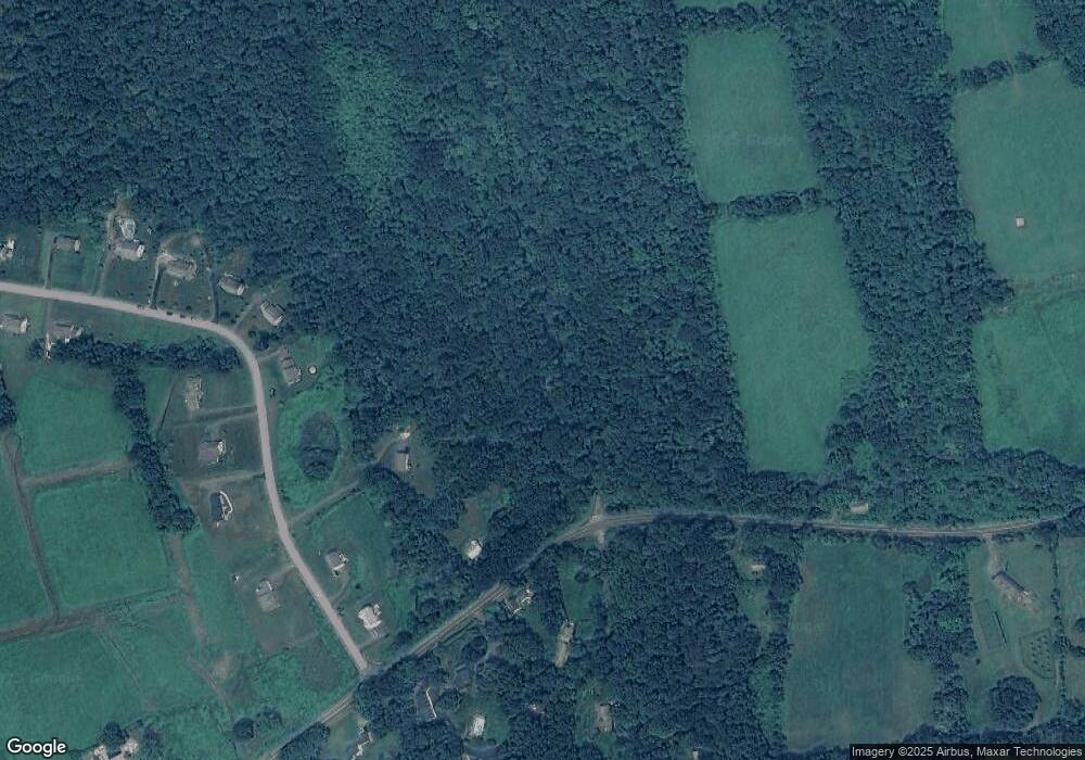
Map
Nearby Homes
- 00 Upper Church Hill & Popple Swamp Rd
- Lot 3 060804C Upper Church Hill Rd
- Lot 4 060804B Upper Church Hill Rd
- 85 W Church Hill Rd
- 85 Weathervane Dr
- Lot 2 060804A Popple Swamp Rd
- LOT 1 060804 Popple Swamp Rd
- 109 Church Hill Rd
- 151 Guernsey Ln
- 31 Sterling Dr
- 21 Crossmon Rd
- 101 Lower Church Hill Rd
- 35 Hillendale Dr
- 326 Litchfield Rd
- 4 High Trail
- 15 Connelly Rd
- 15 Harmony Trail
- 10 Harmony Trail
- 1 Blossom Ct Unit 1
- 93 Quarry Ridge Rd Unit 93
- 10 Hawthorne Ln Unit 59
- 461 Chestnut Land Rd
- 462 Chestnut Land Rd
- 3 Walker Brook Rd S
- 3 Walker Brook Rd S
- 3 Walker Brook Rd
- 323 Walker Brook Rd S
- 20 Hawthorne Ln
- 2 Hawthorne Ln
- 2 Hawthorne Ln Unit 61
- 2 Hawthorne Ln
- 30 Hawthorne Ln
- 6 Hawthorne Ln
- 21 Walker Brook Rd S
- 227 Church Hill Rd
- 5 Homestead Dr
- 458 Chestnut Land Rd
- 5 Hawthorne Ln
- 11 Hawthorne Ln
- 40 Hawthorne Ln