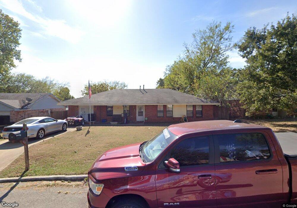
5 Walker Cir Shawnee, OK 74804
Estimated Value: $112,000 - $221,000
3
Beds
2
Baths
1,596
Sq Ft
$109/Sq Ft
Est. Value
About This Home
This home is located at 5 Walker Cir, Shawnee, OK 74804 and is currently estimated at $173,573, approximately $108 per square foot. 5 Walker Cir is a home located in Pottawatomie County.
Ownership History
Date
Name
Owned For
Owner Type
Purchase Details
Closed on
Nov 19, 2007
Sold by
Dagiva Enterprises Inc
Bought by
Patterson William T
Current Estimated Value
Home Financials for this Owner
Home Financials are based on the most recent Mortgage that was taken out on this home.
Original Mortgage
$62,125
Outstanding Balance
$38,949
Interest Rate
6.38%
Mortgage Type
FHA
Estimated Equity
$134,625
Purchase Details
Closed on
Jul 26, 2007
Sold by
Wolf Robert
Bought by
Dagiva Enterprises Inc
Purchase Details
Closed on
Jan 11, 2005
Sold by
The Housing Authority Of The Sac And Fox
Bought by
Wolf Robert
Create a Home Valuation Report for This Property
The Home Valuation Report is an in-depth analysis detailing your home's value as well as a comparison with similar homes in the area
Purchase History
| Date | Buyer | Sale Price | Title Company |
|---|---|---|---|
| Patterson William T | $63,500 | None Available | |
| Dagiva Enterprises Inc | $20,000 | None Available | |
| Wolf Robert | -- | None Available |
Source: Public Records
Mortgage History
| Date | Status | Borrower | Loan Amount |
|---|---|---|---|
| Open | Patterson William T | $62,125 |
Source: Public Records
Tax History
| Year | Tax Paid | Tax Assessment Tax Assessment Total Assessment is a certain percentage of the fair market value that is determined by local assessors to be the total taxable value of land and additions on the property. | Land | Improvement |
|---|---|---|---|---|
| 2025 | $1,059 | $10,317 | $594 | $9,723 |
| 2024 | $1,032 | $10,017 | $594 | $9,423 |
| 2023 | $1,032 | $9,990 | $592 | $9,398 |
| 2022 | $986 | $9,699 | $571 | $9,128 |
| 2021 | $983 | $9,699 | $571 | $9,128 |
| 2020 | $965 | $9,142 | $531 | $8,611 |
| 2019 | $927 | $8,876 | $506 | $8,370 |
| 2018 | $867 | $8,617 | $489 | $8,128 |
| 2017 | $841 | $8,367 | $438 | $7,929 |
| 2016 | $671 | $8,123 | $433 | $7,690 |
| 2015 | $647 | $7,886 | $371 | $7,515 |
| 2014 | $625 | $7,657 | $387 | $7,270 |
Source: Public Records
Map
Nearby Homes
- 42773 Garrett's Lake Rd
- 42829 Garrett's Lake Rd
- 43249 Garrett's Lake Rd
- 42904 Westech Rd Unit 42904 + 42906
- 219 Hope Ave
- 213 Hope Ave
- 5707 Earl Dr
- 0 Mockingbird Ln
- 23 Lake Ln
- 5604 Gemini
- 5505 Capricorn
- 110 Cuyler Dr
- 7110 Brangus Rd
- 7777 Arthur Rd
- 213 Shavano St
- 8888 Arthur Rd
- 1400 Lexi Dr
- 209 Outlander Way
- 43189 Prairie Ranch Rd
- 43067 Wagon Trail
Your Personal Tour Guide
Ask me questions while you tour the home.