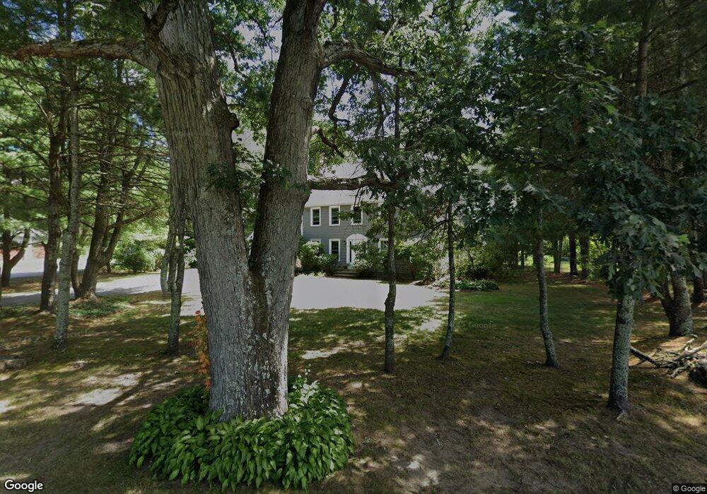
5 Walker St Seekonk, MA 02771
Estimated Value: $728,261 - $891,000
4
Beds
3
Baths
2,660
Sq Ft
$311/Sq Ft
Est. Value
About This Home
This home is located at 5 Walker St, Seekonk, MA 02771 and is currently estimated at $826,565, approximately $310 per square foot. 5 Walker St is a home located in Bristol County with nearby schools including Seekonk High School, St Margaret School, and The Wolf School.
Ownership History
Date
Name
Owned For
Owner Type
Purchase Details
Closed on
Jul 8, 1994
Sold by
Roy Edward J and Roy Judith A
Bought by
Morse Timothy R and Morse Elizabeth K
Current Estimated Value
Home Financials for this Owner
Home Financials are based on the most recent Mortgage that was taken out on this home.
Original Mortgage
$188,100
Interest Rate
8.51%
Mortgage Type
Purchase Money Mortgage
Create a Home Valuation Report for This Property
The Home Valuation Report is an in-depth analysis detailing your home's value as well as a comparison with similar homes in the area
Home Values in the Area
Average Home Value in this Area
Purchase History
| Date | Buyer | Sale Price | Title Company |
|---|---|---|---|
| Morse Timothy R | $209,000 | -- |
Source: Public Records
Mortgage History
| Date | Status | Borrower | Loan Amount |
|---|---|---|---|
| Open | Morse Timothy R | $349,918 | |
| Closed | Morse Timothy R | $220,000 | |
| Closed | Morse Timothy R | $15,125 | |
| Closed | Morse Timothy R | $188,100 |
Source: Public Records
Tax History Compared to Growth
Tax History
| Year | Tax Paid | Tax Assessment Tax Assessment Total Assessment is a certain percentage of the fair market value that is determined by local assessors to be the total taxable value of land and additions on the property. | Land | Improvement |
|---|---|---|---|---|
| 2025 | $7,225 | $585,000 | $174,700 | $410,300 |
| 2024 | $6,847 | $554,400 | $174,700 | $379,700 |
| 2023 | $6,592 | $502,800 | $156,800 | $346,000 |
| 2022 | $5,960 | $446,800 | $152,000 | $294,800 |
| 2021 | $5,636 | $415,300 | $128,300 | $287,000 |
| 2020 | $5,430 | $412,300 | $128,700 | $283,600 |
| 2019 | $5,199 | $398,100 | $128,700 | $269,400 |
| 2018 | $5,062 | $379,200 | $124,000 | $255,200 |
| 2017 | $4,883 | $362,800 | $124,000 | $238,800 |
| 2016 | $4,826 | $359,900 | $124,000 | $235,900 |
| 2015 | $4,711 | $356,100 | $124,000 | $232,100 |
Source: Public Records
Map
Nearby Homes
- 52 Walker St
- 50 Dexter Ave
- 14 Field St
- 0 Arcade Ave Unit 73446971
- 224 Arcade Ave
- 50 Redland Ave
- 331 Newman Ave Unit 333
- 60 West Dr
- 38 E Point Dr Unit 5
- 35 Barney St
- 91 Seabiscuit Place
- 245 Manton St
- 0 Patterson St Unit 73348933
- 1 Kenton Ave
- 242 Manton #41 St
- 242 Manton St
- 46 Lowell Ave
- 20 Bridgham St
- 38 Lowell Ave
- 43 Deer St
- 0 Walker St
- 365 Newman Ave
- 2 Stone Ridge Dr
- 1 Stone Ridge Dr
- 4 Stone Ridge Dr
- 11 Stone Ridge Dr
- 6 Stone Ridge Dr
- 0 Newman Ave
- 0 Newman Ave Unit 501236
- 0 Newman Ave Unit 501237
- 0 Newman Ave Unit 70957854
- 349 Newman Ave
- 24 Walker St
- 1 Brady Ln
- 29 Walker St
- lot 10 Stone Ridge Dr
- 10 Stone Ridge Dr
- 10 Stone Ridge Dr
- 372 Newman Ave
- 5 Brady Ln