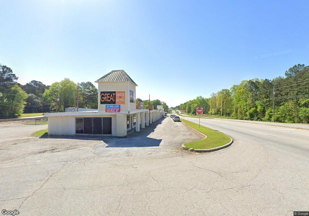
5 Walnut Hill Rd Carrollton, GA 30117
Estimated Value: $363,000 - $542,000
3
Beds
4
Baths
1,953
Sq Ft
$240/Sq Ft
Est. Value
About This Home
This home is located at 5 Walnut Hill Rd, Carrollton, GA 30117 and is currently estimated at $469,638, approximately $240 per square foot. 5 Walnut Hill Rd is a home located in Carroll County with nearby schools including Mt. Zion Elementary School, Mt. Zion Middle School, and Mt. Zion High School.
Ownership History
Date
Name
Owned For
Owner Type
Purchase Details
Closed on
Dec 12, 2003
Sold by
Herrell Sammy Development Llc
Bought by
Strohbeck Brian and Mary Ann
Current Estimated Value
Purchase Details
Closed on
Mar 28, 2003
Sold by
Gibson J Richard
Bought by
Herrell Sammy Development Llc
Purchase Details
Closed on
Feb 11, 2003
Bought by
Gibson J Richard
Create a Home Valuation Report for This Property
The Home Valuation Report is an in-depth analysis detailing your home's value as well as a comparison with similar homes in the area
Home Values in the Area
Average Home Value in this Area
Purchase History
| Date | Buyer | Sale Price | Title Company |
|---|---|---|---|
| Strohbeck Brian | $196,800 | -- | |
| Herrell Sammy Development Llc | $140,000 | -- | |
| Gibson J Richard | -- | -- |
Source: Public Records
Tax History Compared to Growth
Tax History
| Year | Tax Paid | Tax Assessment Tax Assessment Total Assessment is a certain percentage of the fair market value that is determined by local assessors to be the total taxable value of land and additions on the property. | Land | Improvement |
|---|---|---|---|---|
| 2024 | $4,380 | $193,635 | $12,800 | $180,835 |
| 2023 | $4,380 | $177,144 | $12,800 | $164,344 |
| 2022 | $3,631 | $144,776 | $12,800 | $131,976 |
| 2021 | $3,222 | $125,660 | $12,800 | $112,860 |
| 2020 | $2,920 | $113,767 | $12,800 | $100,967 |
| 2019 | $2,456 | $106,936 | $12,800 | $94,136 |
| 2018 | $2,339 | $98,786 | $12,800 | $85,986 |
| 2017 | $2,239 | $92,913 | $4,371 | $88,542 |
| 2016 | $2,240 | $92,913 | $4,371 | $88,542 |
| 2015 | $2,209 | $84,023 | $16,000 | $68,024 |
| 2014 | $2,219 | $84,024 | $16,000 | $68,024 |
Source: Public Records
Map
Nearby Homes
- 1800 Mandeville Rd
- 177 Garnett Point Dr
- Plan 1709 at Saddle Ridge
- Plan 3119 at Saddle Ridge
- Plan 1902 at Saddle Ridge
- Plan 2131 at Saddle Ridge
- Plan 2307 at Saddle Ridge
- Plan 2604 at Saddle Ridge
- 0000 Hog Liver Rd
- 14 Cole Lake Rd
- 539 Saddle Chase Dr
- 406 Holly Springs Rd
- 4748 Us Highway 27
- 48 Covered Bridge Rd
- 00 Hog Liver Rd Unit 346
- 0 Hog Liver Rd Unit 148331
- 0 Hog Liver Rd Unit 10630257
- 0 Hog Liver Rd Unit 7671087
- 0 Hog Liver Rd Unit 10614601
- 0 Hog Liver Rd Unit 10630818
- 1240 Mandeville Rd
- 1097 Bell Rd
- 1068 Bell Rd
- 1225 Mandeville Rd
- 0 Mandeville Rd Unit 20058265
- 2410 Mandeville Rd
- 0 Mandeville Rd Unit 7382928
- 0 Mandeville Rd Unit 8234892
- 0 Mandeville Rd Unit 7155591
- 0 Mandeville Rd Unit 3272321
- 1250 Mandeville Rd
- 1140 Mandeville Rd
- 1071 Bell Rd
- 1235 Mandeville Rd
- 1245 Mandeville Rd
- 1107 Bell Rd
- 1052 Bell Rd
- 1277 Mandeville Rd
- 1260 Mandeville Rd
- 1255 Mandeville Rd
