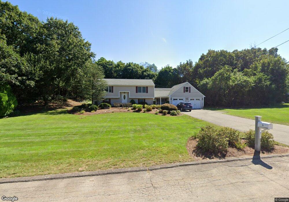
5 Warner Trail Rd Wrentham, MA 02093
Estimated Value: $594,000 - $679,000
3
Beds
2
Baths
1,363
Sq Ft
$475/Sq Ft
Est. Value
About This Home
This home is located at 5 Warner Trail Rd, Wrentham, MA 02093 and is currently estimated at $646,835, approximately $474 per square foot. 5 Warner Trail Rd is a home located in Norfolk County with nearby schools including Delaney Elementary School, Charles E Roderick, and Discovery Daycare Center.
Ownership History
Date
Name
Owned For
Owner Type
Purchase Details
Closed on
Dec 30, 2015
Sold by
Cianci Concetta E and Cianci Thomas A
Bought by
Concetta E Cianci Ret and Cianci Concetta E
Current Estimated Value
Create a Home Valuation Report for This Property
The Home Valuation Report is an in-depth analysis detailing your home's value as well as a comparison with similar homes in the area
Purchase History
| Date | Buyer | Sale Price | Title Company |
|---|---|---|---|
| Concetta E Cianci Ret | -- | -- |
Source: Public Records
Tax History
| Year | Tax Paid | Tax Assessment Tax Assessment Total Assessment is a certain percentage of the fair market value that is determined by local assessors to be the total taxable value of land and additions on the property. | Land | Improvement |
|---|---|---|---|---|
| 2025 | $6,625 | $571,600 | $273,200 | $298,400 |
| 2024 | $6,199 | $516,600 | $273,200 | $243,400 |
| 2023 | $6,036 | $478,300 | $248,300 | $230,000 |
| 2022 | $5,740 | $419,900 | $223,400 | $196,500 |
| 2021 | $4,867 | $345,900 | $199,600 | $146,300 |
| 2020 | $5,679 | $398,500 | $182,100 | $216,400 |
| 2019 | $5,432 | $384,700 | $182,100 | $202,600 |
| 2018 | $5,266 | $369,800 | $182,300 | $187,500 |
| 2017 | $4,938 | $346,500 | $178,800 | $167,700 |
| 2016 | $4,857 | $340,100 | $173,600 | $166,500 |
| 2015 | $4,689 | $313,000 | $166,900 | $146,100 |
| 2014 | $4,611 | $301,200 | $160,500 | $140,700 |
Source: Public Records
Map
Nearby Homes
- 483 Thurston St
- 10 Nature View Dr
- 15 Nature View Dr
- 576 Dedham St
- 3 Earle Stewart Ln
- 25 Foxboro Rd
- 2 Earle Stewart Ln
- 10 Earle Stewart Ln Unit Lot 5
- 12 Earle Stewart Ln
- 131 Washington St Unit 42
- 131 Washington St Unit 50
- 8 Conway Ln
- 75 Foxboro Rd
- 65 Foxboro Rd
- 11 Weber Farm Rd Unit 11
- 8 Weber Farm Rd Unit 8
- 30 Weber Farm Rd Unit 30
- 500 Franklin St
- 9 Sharon Ave
- 11 Sharon Ave
- 15 Warner Trail Rd
- 10 Lot 10 L'Herault Dr
- 10 Lherault Dr
- 10 L'Herault Dr
- 20 Lherault Dr
- 20 Warner Trail Rd
- 10 Warner Trail Rd
- 25 Warner Trail Rd
- 198 Thurston St
- 228 Thurston St
- 30 Lherault Dr
- 15 Lherault Dr
- 210 Thurston St
- 5 Lherault Dr
- 30 Warner Trail Rd
- 229 Thurston St
- 184 Thurston St
- 25 Lherault Dr
- 35 Warner Trail Rd
- 237 Thurston St
Your Personal Tour Guide
Ask me questions while you tour the home.