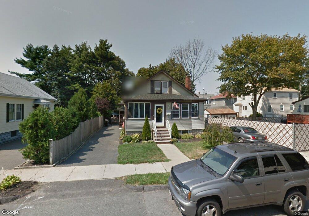
5 Warren Rd Saugus, MA 01906
Cliftondale NeighborhoodEstimated Value: $616,034 - $721,000
3
Beds
1
Bath
1,293
Sq Ft
$514/Sq Ft
Est. Value
About This Home
This home is located at 5 Warren Rd, Saugus, MA 01906 and is currently estimated at $664,259, approximately $513 per square foot. 5 Warren Rd is a home located in Essex County with nearby schools including Saugus High School and Sacred Heart School.
Ownership History
Date
Name
Owned For
Owner Type
Purchase Details
Closed on
Mar 19, 2010
Sold by
Fhlmc
Bought by
Churches Bryan and Churches Darrah
Current Estimated Value
Home Financials for this Owner
Home Financials are based on the most recent Mortgage that was taken out on this home.
Original Mortgage
$239,920
Outstanding Balance
$159,569
Interest Rate
5.05%
Mortgage Type
Purchase Money Mortgage
Estimated Equity
$504,690
Purchase Details
Closed on
Feb 12, 2010
Sold by
Hudson Tatam E and Gmac Mortgage Llc
Bought by
Fhlmc
Home Financials for this Owner
Home Financials are based on the most recent Mortgage that was taken out on this home.
Original Mortgage
$239,920
Outstanding Balance
$159,569
Interest Rate
5.05%
Mortgage Type
Purchase Money Mortgage
Estimated Equity
$504,690
Purchase Details
Closed on
Sep 30, 2004
Sold by
Stthomas Jill
Bought by
Hudson Tatam E
Purchase Details
Closed on
Aug 29, 1997
Sold by
Boucher Arthur and Boucher Barbara
Bought by
Virgin John D and Virgin Penny A
Create a Home Valuation Report for This Property
The Home Valuation Report is an in-depth analysis detailing your home's value as well as a comparison with similar homes in the area
Home Values in the Area
Average Home Value in this Area
Purchase History
| Date | Buyer | Sale Price | Title Company |
|---|---|---|---|
| Churches Bryan | $299,900 | -- | |
| Fhlmc | $270,000 | -- | |
| Hudson Tatam E | $300,000 | -- | |
| Virgin John D | $103,000 | -- |
Source: Public Records
Mortgage History
| Date | Status | Borrower | Loan Amount |
|---|---|---|---|
| Open | Virgin John D | $239,920 | |
| Previous Owner | Virgin John D | $292,000 |
Source: Public Records
Tax History
| Year | Tax Paid | Tax Assessment Tax Assessment Total Assessment is a certain percentage of the fair market value that is determined by local assessors to be the total taxable value of land and additions on the property. | Land | Improvement |
|---|---|---|---|---|
| 2025 | $5,824 | $545,300 | $318,200 | $227,100 |
| 2024 | $5,672 | $532,600 | $309,600 | $223,000 |
| 2023 | $5,576 | $495,200 | $270,900 | $224,300 |
| 2022 | $5,468 | $455,300 | $252,000 | $203,300 |
| 2021 | $4,996 | $404,900 | $209,000 | $195,900 |
| 2020 | $4,500 | $377,500 | $198,700 | $178,800 |
| 2019 | $4,273 | $350,800 | $189,200 | $161,600 |
| 2018 | $3,879 | $335,000 | $180,600 | $154,400 |
| 2017 | $3,652 | $303,100 | $172,000 | $131,100 |
| 2016 | $3,386 | $277,500 | $163,400 | $114,100 |
| 2015 | $3,177 | $264,300 | $155,600 | $108,700 |
| 2014 | $3,037 | $261,600 | $155,600 | $106,000 |
Source: Public Records
Map
Nearby Homes
Your Personal Tour Guide
Ask me questions while you tour the home.