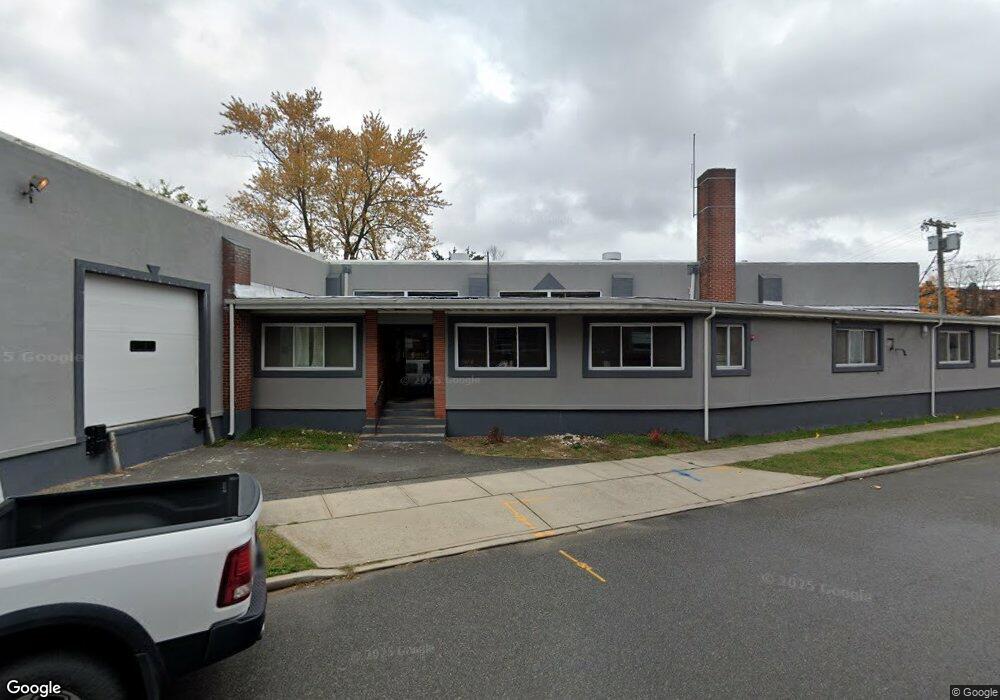
5 Water St South River, NJ 08882
Estimated Value: $625,347
--
Bed
--
Bath
7,500
Sq Ft
$83/Sq Ft
Est. Value
About This Home
This home is located at 5 Water St, South River, NJ 08882 and is currently estimated at $625,347, approximately $83 per square foot. 5 Water St is a home located in Middlesex County with nearby schools including South River Primary School, South River Elementary School, and South River Middle School.
Ownership History
Date
Name
Owned For
Owner Type
Purchase Details
Closed on
Apr 27, 2009
Sold by
Nu Edge Llc
Bought by
Puca Joseph
Current Estimated Value
Purchase Details
Closed on
Apr 29, 2002
Sold by
Daryl Graphics Inc
Bought by
5 Water St Llc
Purchase Details
Closed on
Apr 10, 1995
Sold by
Pullo Tony
Bought by
Daryl Graphics Inc
Home Financials for this Owner
Home Financials are based on the most recent Mortgage that was taken out on this home.
Original Mortgage
$163,000
Interest Rate
8.66%
Mortgage Type
Commercial
Purchase Details
Closed on
Jul 19, 1993
Sold by
Richman Phillip
Bought by
Pullo Tony and Pullo Dorothy
Home Financials for this Owner
Home Financials are based on the most recent Mortgage that was taken out on this home.
Original Mortgage
$270,000
Interest Rate
7.16%
Mortgage Type
Commercial
Create a Home Valuation Report for This Property
The Home Valuation Report is an in-depth analysis detailing your home's value as well as a comparison with similar homes in the area
Home Values in the Area
Average Home Value in this Area
Purchase History
| Date | Buyer | Sale Price | Title Company |
|---|---|---|---|
| Puca Joseph | $345,000 | First American Title Ins Co | |
| 5 Water St Llc | $252,500 | -- | |
| Daryl Graphics Inc | $209,930 | -- | |
| Pullo Tony | $270,000 | -- |
Source: Public Records
Mortgage History
| Date | Status | Borrower | Loan Amount |
|---|---|---|---|
| Previous Owner | Daryl Graphics Inc | $163,000 | |
| Previous Owner | Pullo Tony | $270,000 |
Source: Public Records
Tax History Compared to Growth
Tax History
| Year | Tax Paid | Tax Assessment Tax Assessment Total Assessment is a certain percentage of the fair market value that is determined by local assessors to be the total taxable value of land and additions on the property. | Land | Improvement |
|---|---|---|---|---|
| 2025 | $9,047 | $355,200 | $95,100 | $260,100 |
| 2024 | $8,777 | $355,200 | $95,100 | $260,100 |
| 2023 | $8,777 | $355,200 | $95,100 | $260,100 |
| 2022 | $8,624 | $355,200 | $95,100 | $260,100 |
| 2021 | $8,301 | $355,200 | $95,100 | $260,100 |
| 2020 | $8,123 | $355,200 | $95,100 | $260,100 |
| 2019 | $8,278 | $100,500 | $28,500 | $72,000 |
| 2018 | $8,079 | $100,500 | $28,500 | $72,000 |
| 2017 | $7,784 | $100,500 | $28,500 | $72,000 |
| 2016 | $7,489 | $100,500 | $28,500 | $72,000 |
| 2015 | $7,321 | $100,500 | $28,500 | $72,000 |
| 2014 | $7,154 | $100,500 | $28,500 | $72,000 |
Source: Public Records
Map
Nearby Homes
- 26 Water St
- 135 Whitehead Ave
- 5 Northside Ave
- 12 Little Martin Ave
- 78 Causeway St
- 12 Yates Ave
- 79 Whitehead Ave
- 1 Stanton St
- 16 Jeffrie Ave
- 35 Willett Ave
- 100 Jackson St
- 102 Prentice Ave Unit A
- 29 Wilson Ave
- 7 Robert St
- 16 Schack Ave
- 104 George St
- 10 Vreeland Ct
- 9 Furman Ave
- 12 Clinton St
- 23 Kathryn St