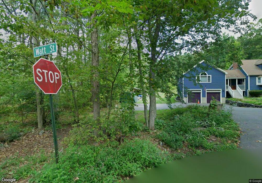
5 Watt St Lunenburg, MA 01462
Estimated Value: $552,000 - $714,000
3
Beds
3
Baths
2,524
Sq Ft
$256/Sq Ft
Est. Value
About This Home
This home is located at 5 Watt St, Lunenburg, MA 01462 and is currently estimated at $645,270, approximately $255 per square foot. 5 Watt St is a home located in Worcester County with nearby schools including Lunenburg Primary School and Lunenburg High School.
Ownership History
Date
Name
Owned For
Owner Type
Purchase Details
Closed on
Jan 22, 2024
Sold by
Logan Glen and Eycleshymer Kristin
Bought by
Eycleshymer Kristin
Current Estimated Value
Purchase Details
Closed on
Oct 21, 1998
Sold by
Clark Burton D and Oshaughnessy Mary R
Bought by
Cummings William H and Cummings Kristen L
Purchase Details
Closed on
Feb 25, 1987
Sold by
Sibley Joel T
Bought by
Clark Burton D
Create a Home Valuation Report for This Property
The Home Valuation Report is an in-depth analysis detailing your home's value as well as a comparison with similar homes in the area
Home Values in the Area
Average Home Value in this Area
Purchase History
| Date | Buyer | Sale Price | Title Company |
|---|---|---|---|
| Eycleshymer Kristin | -- | None Available | |
| Cummings William H | $169,500 | -- | |
| Clark Burton D | $158,000 | -- |
Source: Public Records
Mortgage History
| Date | Status | Borrower | Loan Amount |
|---|---|---|---|
| Previous Owner | Clark Burton D | $100,000 | |
| Previous Owner | Clark Burton D | $182,000 |
Source: Public Records
Tax History Compared to Growth
Tax History
| Year | Tax Paid | Tax Assessment Tax Assessment Total Assessment is a certain percentage of the fair market value that is determined by local assessors to be the total taxable value of land and additions on the property. | Land | Improvement |
|---|---|---|---|---|
| 2025 | $7,974 | $555,300 | $194,300 | $361,000 |
| 2024 | $7,720 | $547,500 | $185,500 | $362,000 |
| 2023 | $7,686 | $525,700 | $168,500 | $357,200 |
| 2022 | $7,051 | $410,200 | $146,100 | $264,100 |
| 2020 | $7,313 | $403,600 | $146,100 | $257,500 |
| 2019 | $7,188 | $384,800 | $139,700 | $245,100 |
| 2018 | $6,958 | $353,200 | $134,300 | $218,900 |
| 2017 | $6,681 | $334,400 | $130,100 | $204,300 |
| 2016 | $6,393 | $326,000 | $125,800 | $200,200 |
| 2015 | $5,500 | $300,200 | $121,400 | $178,800 |
Source: Public Records
Map
Nearby Homes
- 330 Arbor St
- 166 Elmwood Rd
- 110 Burrage St
- 11 Longwood Dr
- 1790 Massachusetts Ave Unit 25
- 1790 Massachusetts Ave Unit 22
- 878 Flat Hill Rd
- 45 Spring St
- 659 Reservoir Rd
- 828 Lancaster Ave
- 61 Parker Rd
- 49 Parker Rd
- 44 Hemlock Dr
- 2 Oakes Landing
- 12 Hazen Rd
- 372 Townsend Harbor Rd
- 9 Winter Hill Rd
- 35 Leominster Rd
- 9 Fairview Rd
- 802 Reservoir Rd