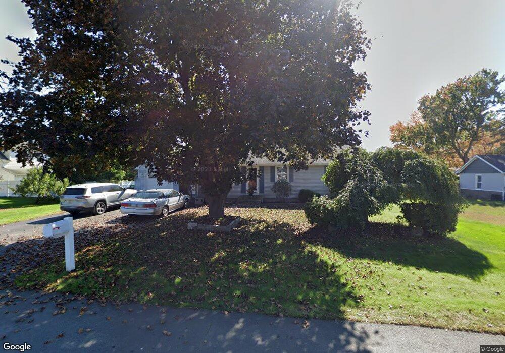
5 Wesley Rd Broad Brook, CT 06016
Estimated Value: $248,000 - $330,000
3
Beds
2
Baths
1,092
Sq Ft
$266/Sq Ft
Est. Value
About This Home
This home is located at 5 Wesley Rd, Broad Brook, CT 06016 and is currently estimated at $290,390, approximately $265 per square foot. 5 Wesley Rd is a home located in Hartford County with nearby schools including Broad Brook Elementary School, East Windsor Middle School, and East Windsor High School.
Ownership History
Date
Name
Owned For
Owner Type
Purchase Details
Closed on
Mar 13, 2000
Sold by
Nelson M Louise
Bought by
Crossley Donna L and Lucchina Louise A
Current Estimated Value
Purchase Details
Closed on
Sep 23, 1999
Sold by
Breton Timothy and Breton Emily
Bought by
Wyse David and Wyse Lisa
Home Financials for this Owner
Home Financials are based on the most recent Mortgage that was taken out on this home.
Original Mortgage
$71,500
Interest Rate
8.1%
Mortgage Type
Purchase Money Mortgage
Purchase Details
Closed on
Mar 15, 1988
Sold by
Gauvin Wayne
Bought by
Breton Timothy
Home Financials for this Owner
Home Financials are based on the most recent Mortgage that was taken out on this home.
Original Mortgage
$84,000
Interest Rate
10.11%
Mortgage Type
Purchase Money Mortgage
Create a Home Valuation Report for This Property
The Home Valuation Report is an in-depth analysis detailing your home's value as well as a comparison with similar homes in the area
Home Values in the Area
Average Home Value in this Area
Purchase History
| Date | Buyer | Sale Price | Title Company |
|---|---|---|---|
| Crossley Donna L | $25,000 | -- | |
| Wyse David | $135,000 | -- | |
| Breton Timothy | $144,000 | -- |
Source: Public Records
Mortgage History
| Date | Status | Borrower | Loan Amount |
|---|---|---|---|
| Closed | Breton Timothy | $65,000 | |
| Previous Owner | Breton Timothy | $30,000 | |
| Previous Owner | Breton Timothy | $71,500 | |
| Previous Owner | Breton Timothy | $84,000 |
Source: Public Records
Tax History
| Year | Tax Paid | Tax Assessment Tax Assessment Total Assessment is a certain percentage of the fair market value that is determined by local assessors to be the total taxable value of land and additions on the property. | Land | Improvement |
|---|---|---|---|---|
| 2025 | $4,456 | $168,210 | $34,040 | $134,170 |
| 2024 | $4,131 | $168,210 | $34,040 | $134,170 |
| 2023 | $3,838 | $111,960 | $54,190 | $57,770 |
| 2022 | $3,849 | $111,960 | $54,190 | $57,770 |
| 2021 | $3,863 | $111,960 | $54,190 | $57,770 |
| 2020 | $3,887 | $111,960 | $54,190 | $57,770 |
| 2019 | $3,835 | $111,960 | $54,190 | $57,770 |
| 2018 | $3,795 | $111,960 | $54,190 | $57,770 |
| 2017 | $3,452 | $105,330 | $52,190 | $53,140 |
| 2016 | $3,258 | $105,330 | $52,190 | $53,140 |
| 2015 | $3,193 | $105,330 | $52,190 | $53,140 |
| 2014 | $3,137 | $105,330 | $52,190 | $53,140 |
Source: Public Records
Map
Nearby Homes
- 18 Wesley Rd
- 11 Acorn Dr Unit 11
- 16 Joseph Ct Unit 16
- 33 Harrington Rd
- 26 Julia Ct Unit 26
- 14 Bridle Path
- 4 Rye St
- 56 Highland Ave
- 111 Old Ellington Rd
- 13 Reservoir Ave
- 62 Rice Rd
- 0 Wells Rd
- 10 Thistle Way Unit D
- 115 Melrose Rd
- 27 Folkstone Rd Unit C
- 25 Bass Dr
- 160 East Rd
- 164 East Rd
- 24 Iroquois Rd
- 1 Patricia Cir
Your Personal Tour Guide
Ask me questions while you tour the home.