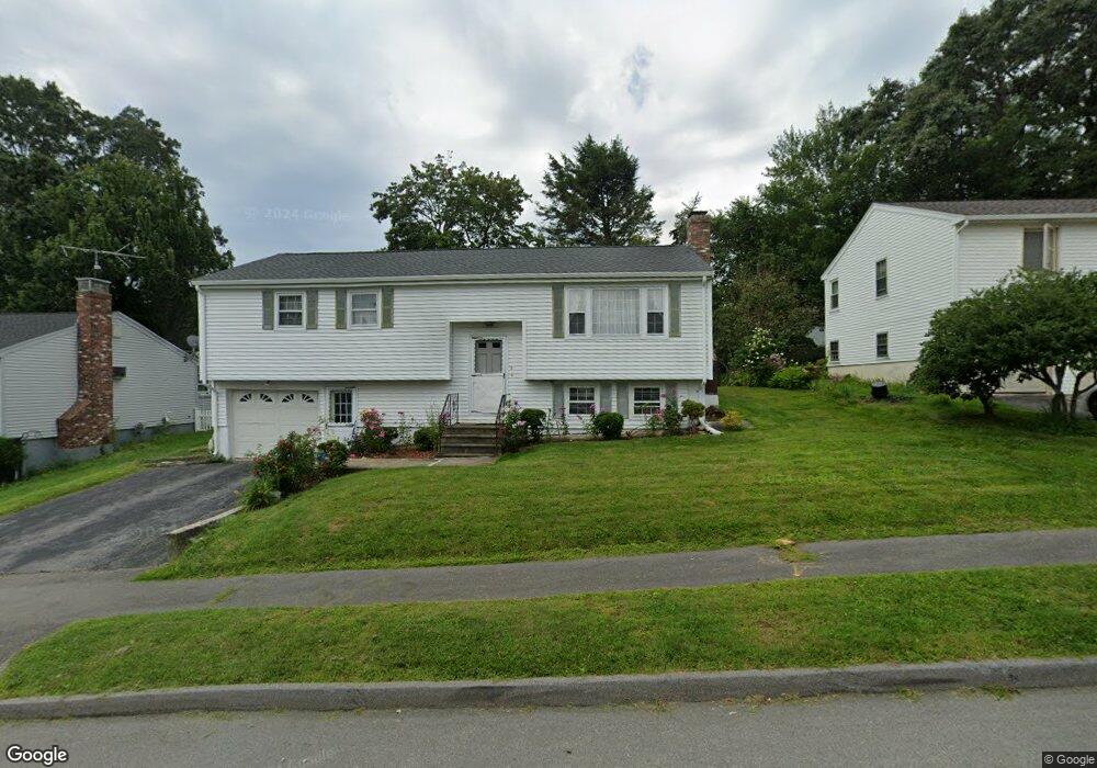
5 Westport Rd Worcester, MA 01605
Forest Grove NeighborhoodEstimated Value: $470,000 - $504,000
3
Beds
2
Baths
1,128
Sq Ft
$436/Sq Ft
Est. Value
About This Home
This home is located at 5 Westport Rd, Worcester, MA 01605 and is currently estimated at $492,364, approximately $436 per square foot. 5 Westport Rd is a home located in Worcester County with nearby schools including Nelson Place Elementary School, Jacob Hiatt Magnet School, and Chandler Magnet.
Create a Home Valuation Report for This Property
The Home Valuation Report is an in-depth analysis detailing your home's value as well as a comparison with similar homes in the area
Home Values in the Area
Average Home Value in this Area
Tax History
| Year | Tax Paid | Tax Assessment Tax Assessment Total Assessment is a certain percentage of the fair market value that is determined by local assessors to be the total taxable value of land and additions on the property. | Land | Improvement |
|---|---|---|---|---|
| 2025 | $5,571 | $422,400 | $117,700 | $304,700 |
| 2024 | $5,424 | $394,500 | $117,700 | $276,800 |
| 2023 | $5,385 | $375,500 | $102,300 | $273,200 |
| 2022 | $4,669 | $307,000 | $81,900 | $225,100 |
| 2021 | $4,589 | $281,900 | $65,500 | $216,400 |
| 2020 | $4,383 | $257,800 | $65,500 | $192,300 |
| 2019 | $4,277 | $237,600 | $58,900 | $178,700 |
| 2018 | $4,294 | $227,100 | $58,900 | $168,200 |
| 2017 | $4,115 | $214,100 | $58,900 | $155,200 |
| 2016 | $4,054 | $196,700 | $42,800 | $153,900 |
| 2015 | $3,948 | $196,700 | $42,800 | $153,900 |
| 2014 | $3,844 | $196,700 | $42,800 | $153,900 |
Source: Public Records
Map
Nearby Homes
- 90 Bjorklund Ave
- 158 Chester St
- 12 Tattan Farm Rd
- 97 Parkton Ave
- 61 Barry Rd
- 46 Barry Rd
- 4004 Brompton Cir
- 82 Holden St
- 25 Chester St
- 42 N Worcester Ave
- 667 Grove St
- 770 Salisbury St Unit 333
- 28 Lynnwood Ln
- 37 Mohave Rd
- 41 Mohave Rd
- 11 Holden St
- 3 Old English Rd
- 16 Baiting Brook Ln Unit 64
- 10 Salisbury Hill Blvd Unit 75
- 14 Baiting Brook Ln Unit 65
Your Personal Tour Guide
Ask me questions while you tour the home.