5 Westvale Rd Unit 1 Kennebunkport, ME 04046
Cape Porpoise NeighborhoodEstimated Value: $819,000 - $1,171,000
3
Beds
2
Baths
1,800
Sq Ft
$529/Sq Ft
Est. Value
About This Home
This home is located at 5 Westvale Rd Unit 1, Kennebunkport, ME 04046 and is currently estimated at $952,344, approximately $529 per square foot. 5 Westvale Rd Unit 1 is a home located in York County with nearby schools including Kennebunk High School.
Ownership History
Date
Name
Owned For
Owner Type
Purchase Details
Closed on
Jun 29, 2023
Sold by
Delong Wendy E
Bought by
Moran Arthur J and Keilman Craig A
Current Estimated Value
Purchase Details
Closed on
Aug 2, 2016
Sold by
Kennedy Charles R and Suhrhoff Karen E
Bought by
Robinson Wendy E
Home Financials for this Owner
Home Financials are based on the most recent Mortgage that was taken out on this home.
Original Mortgage
$275,500
Interest Rate
3.54%
Mortgage Type
New Conventional
Create a Home Valuation Report for This Property
The Home Valuation Report is an in-depth analysis detailing your home's value as well as a comparison with similar homes in the area
Home Values in the Area
Average Home Value in this Area
Purchase History
| Date | Buyer | Sale Price | Title Company |
|---|---|---|---|
| Moran Arthur J | -- | None Available | |
| Robinson Wendy E | -- | -- |
Source: Public Records
Mortgage History
| Date | Status | Borrower | Loan Amount |
|---|---|---|---|
| Previous Owner | Robinson Wendy E | $275,500 |
Source: Public Records
Tax History Compared to Growth
Tax History
| Year | Tax Paid | Tax Assessment Tax Assessment Total Assessment is a certain percentage of the fair market value that is determined by local assessors to be the total taxable value of land and additions on the property. | Land | Improvement |
|---|---|---|---|---|
| 2024 | $2,138 | $328,900 | $85,000 | $243,900 |
| 2023 | $2,056 | $328,900 | $85,000 | $243,900 |
| 2022 | $1,973 | $328,900 | $85,000 | $243,900 |
| 2021 | $2,099 | $239,600 | $85,000 | $154,600 |
| 2020 | $2,264 | $239,600 | $85,000 | $154,600 |
| 2019 | $2,264 | $239,600 | $85,000 | $154,600 |
| 2018 | $2,099 | $239,600 | $85,000 | $154,600 |
| 2017 | $2,085 | $239,600 | $85,000 | $154,600 |
| 2016 | $1,984 | $239,600 | $85,000 | $154,600 |
| 2015 | $1,866 | $242,400 | $85,000 | $157,400 |
| 2014 | $1,850 | $242,400 | $85,000 | $157,400 |
Source: Public Records
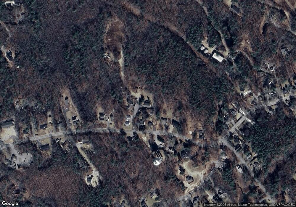
Map
Nearby Homes
- 0 Wildes District Rd
- 160 Main St
- 7 Pier Rd Unit 7
- 12 Eel Bridge Ln
- 105 Old Cape Rd
- 116 School St
- 12 Evening Place
- 22 Pier Rd Unit 1
- 22 Pier Rd Unit 2
- 51 Langsford Rd
- 113 Wildes District Rd
- 5 Harwood Dr
- 5 Brooks St
- 11 Harbor Dr
- 36 Roberts Ln
- 6 Roberts Ln
- 22 High Point Dr
- 18 Nehoc Ln
- 3 Creekside Unit 2
- 1 Creekside Unit 1
- 5 Westvale Rd
- 5 Westvale Rd Unit B
- 5 Westvale Rd Unit A
- 132 Main St
- 4 Westvale Rd
- 134 Main St
- 138 Main St
- 136 Main St
- 133 Main St
- 131 Main St
- 2 Tigerlily Way
- 4 Tigerlily Way
- 0 Westvale Rd Unit 1600661
- 0 Westvale Rd Unit 778649
- 0 Westvale Rd Unit 2 1485638
- 0 Westvale Rd Unit 1492295
- 0 Westvale Rd Unit 1518554
- 142 Main St Unit 9
- 142 Main St
- 137 Main St