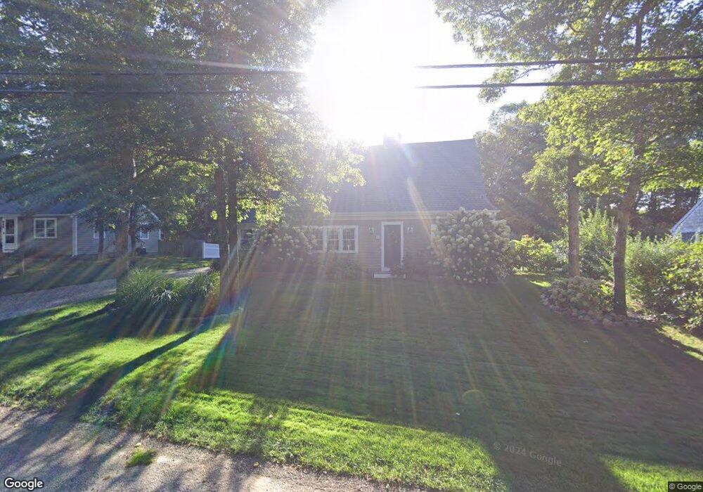
5 Westwind Dr Dennis, MA 02638
East Dennis NeighborhoodEstimated Value: $728,930 - $819,000
About This Home
This home is located at 5 Westwind Dr, Dennis, MA 02638 and is currently estimated at $776,983, approximately $971 per square foot. 5 Westwind Dr is a home located in Barnstable County with nearby schools including Dennis-Yarmouth Regional High School.
Ownership History
We collect this data history from publicly available records. To have your information removed, we recommend requesting removal directly through your county’s website.
Purchase Details
Purchase Details
Purchase Details
Home Values in the Area
Average Home Value in this Area
Purchase History
We collect this data history from publicly available records. To have your information removed, we recommend requesting removal directly through your county’s website.
| Date | Buyer | Sale Price | Title Company |
|---|---|---|---|
| $287,500 | -- | ||
| $145,000 | -- | ||
| $127,500 | -- |
Mortgage History
We collect this data history from publicly available records. To have your information removed, we recommend requesting removal directly through your county’s website.
| Date | Status | Borrower | Loan Amount |
|---|---|---|---|
| Open | $210,000 | ||
| Closed | $214,000 | ||
| Closed | $29,250 |
Tax History
We collect this data history from publicly available records. To have your information removed, we recommend requesting removal directly through your county’s website.
| Year | Tax Paid | Tax Assessment Tax Assessment Total Assessment is a certain percentage of the fair market value that is determined by local assessors to be the total taxable value of land and additions on the property. | Land | Improvement |
|---|---|---|---|---|
| 2025 | $2,694 | $622,200 | $167,100 | $455,100 |
| 2024 | $2,587 | $589,400 | $160,700 | $428,700 |
| 2023 | $2,503 | $536,000 | $146,100 | $389,900 |
| 2022 | $2,373 | $423,700 | $131,600 | $292,100 |
| 2021 | $2,224 | $368,800 | $129,000 | $239,800 |
| 2020 | $2,153 | $353,000 | $129,000 | $224,000 |
| 2019 | $2,095 | $339,600 | $138,000 | $201,600 |
| 2018 | $1,655 | $261,000 | $131,300 | $129,700 |
| 2017 | $1,517 | $246,700 | $120,400 | $126,300 |
| 2016 | $1,590 | $243,500 | $136,800 | $106,700 |
| 2015 | $1,558 | $243,500 | $136,800 | $106,700 |
| 2014 | $1,342 | $211,300 | $120,400 | $90,900 |
Map
- 29 Calvin Dr
- 4 Maureens Way
- 68 Long Hill Rd
- 98 Old Hills Rd
- 32 Captain Walsh Dr
- 53 Captain Walsh Dr
- 777 Main St Unit 15
- 52 Barque Cir
- 858 Main St
- 16 Heritage Place
- 598 Old Bass River Rd
- 1021 Main St
- 1021 Route 6a
- 946 Route 6a
- 18 Nobscussett Rd
- 1354 Route 134
- 59 Hope Ln
- 11 Perseverance Path
- 51 Forest Pines Dr
- 268 Main St
- 18 Westwind Dr
- 6 Southport Ln
- 13 Westwind Dr
- 22 Westwind Dr
- 17 Westwind Dr
- 3 Southport Ln
- 5 Northport Ln
- 9 Westwind Dr
- 5 Southport Ln
- 21 Westwind Dr
- 245 Paddocks Path
- 253 Paddocks Path
- 0 Cape Cod Rd Unit C7220817
- 25 Westwind Dr
- 2 Westwind Dr
- 6 Northport Ln
- 8 Anchor
- 257 Paddocks Path
- 1 Westwind Dr
- 37 Westwind Dr
Ask me questions while you tour the home.