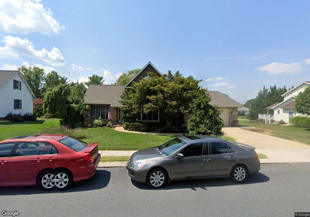
5 Wheaton Dr Unit 61 Littlestown, PA 17340
Estimated Value: $396,127 - $440,000
3
Beds
3
Baths
2,118
Sq Ft
$194/Sq Ft
Est. Value
About This Home
This home is located at 5 Wheaton Dr Unit 61, Littlestown, PA 17340 and is currently estimated at $410,782, approximately $193 per square foot. 5 Wheaton Dr Unit 61 is a home located in Adams County with nearby schools including Rolling Acres El School, Maple Avenue Middle School, and Littlestown Senior High School.
Ownership History
Date
Name
Owned For
Owner Type
Purchase Details
Closed on
Dec 2, 2013
Sold by
Sheedy Raymond J
Bought by
Roy Patricia A
Current Estimated Value
Home Financials for this Owner
Home Financials are based on the most recent Mortgage that was taken out on this home.
Original Mortgage
$94,000
Outstanding Balance
$70,480
Interest Rate
4.29%
Mortgage Type
New Conventional
Estimated Equity
$340,302
Purchase Details
Closed on
May 21, 2009
Sold by
Groot Kathryn J and Dixon Mary G
Bought by
Groot Kathryn J and Dixon Mary G
Create a Home Valuation Report for This Property
The Home Valuation Report is an in-depth analysis detailing your home's value as well as a comparison with similar homes in the area
Home Values in the Area
Average Home Value in this Area
Purchase History
| Date | Buyer | Sale Price | Title Company |
|---|---|---|---|
| Roy Patricia A | $205,000 | None Available | |
| Groot Kathryn J | -- | -- |
Source: Public Records
Mortgage History
| Date | Status | Borrower | Loan Amount |
|---|---|---|---|
| Open | Roy Patricia A | $94,000 |
Source: Public Records
Tax History Compared to Growth
Tax History
| Year | Tax Paid | Tax Assessment Tax Assessment Total Assessment is a certain percentage of the fair market value that is determined by local assessors to be the total taxable value of land and additions on the property. | Land | Improvement |
|---|---|---|---|---|
| 2025 | $6,269 | $272,700 | $52,400 | $220,300 |
| 2024 | $6,041 | $272,700 | $52,400 | $220,300 |
| 2023 | $5,807 | $272,700 | $52,400 | $220,300 |
| 2022 | $5,772 | $272,700 | $52,400 | $220,300 |
| 2021 | $5,601 | $272,700 | $52,400 | $220,300 |
| 2020 | $5,534 | $272,700 | $52,400 | $220,300 |
| 2019 | $5,368 | $272,700 | $52,400 | $220,300 |
| 2018 | $5,270 | $272,700 | $52,400 | $220,300 |
| 2017 | $5,135 | $272,700 | $52,400 | $220,300 |
| 2016 | -- | $272,700 | $52,400 | $220,300 |
| 2015 | -- | $272,700 | $52,400 | $220,300 |
| 2014 | -- | $272,700 | $52,400 | $220,300 |
Source: Public Records
Map
Nearby Homes
- 449 Glenwyn Dr
- 41 Smith Cir
- 535 Lumber St
- 559 Lumber St
- 567 Lumber St
- 211 E King St
- 43 Ashfield Dr Unit 14
- 106 E King St
- 162 Newark St
- 61 E King St
- 115 Charles St
- 117 Charles St
- 140 Apple Grove Ln Unit 425
- 440 N Queen St
- 129 W King St
- 22 Rita Marie Ave
- 0 Locust Dr Unit PAAD2015910
- 20c Locust Dr
- 58 Windsor Ct
- 48 Windsor Ct
- 7 Wheaton Dr Unit 62
- 525 Glenwyn Dr Unit 47
- 6 Wheaton Dr Unit 89
- 513 Parkway Dr Unit 59
- 4 Wheaton Dr Unit 88
- 8 Wheaton Dr Unit 90
- 535 Glenwyn Dr
- 2 Wheaton Dr Unit 87
- 515 Glenwyn Dr
- 11 Wheaton Dr Unit 64
- 10 Wheaton Dr Unit 91
- 509 Parkway Dr Unit 2
- 603 Parkway Dr Unit 108
- 7 Manor Cir Unit 102
- 512 Parkway Dr Unit 57
- 139 Wheaton Dr Unit 58
- 510 Parkway Dr Unit 4
- 520 Glenwyn Dr
- 605 Parkway Dr Unit 107