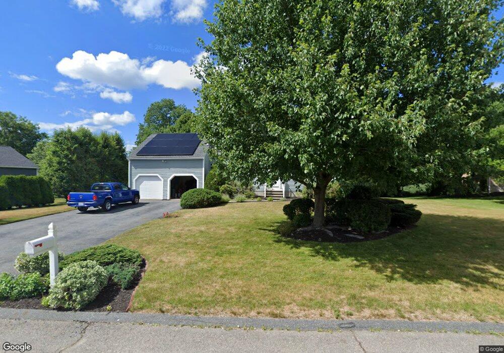
5 Wight Farm Rd Natick, MA 01760
Estimated Value: $1,259,000 - $1,508,000
4
Beds
3
Baths
2,550
Sq Ft
$530/Sq Ft
Est. Value
About This Home
This home is located at 5 Wight Farm Rd, Natick, MA 01760 and is currently estimated at $1,351,087, approximately $529 per square foot. 5 Wight Farm Rd is a home located in Middlesex County with nearby schools including Natick High School, Wilson Middle School, and Bennett-Hemenway (Ben-Hem) Elementary School.
Ownership History
Date
Name
Owned For
Owner Type
Purchase Details
Closed on
Apr 7, 2022
Sold by
Massar Henry P
Bought by
Massar Henry P and Massar Janice G
Current Estimated Value
Purchase Details
Closed on
Jan 31, 1996
Sold by
Graf Priscilla M
Bought by
Massar Henry P and Massar Janice G
Home Financials for this Owner
Home Financials are based on the most recent Mortgage that was taken out on this home.
Original Mortgage
$160,000
Interest Rate
7.25%
Mortgage Type
Purchase Money Mortgage
Purchase Details
Closed on
Jun 26, 1987
Sold by
Wight Farm Rt
Bought by
Graf Priscilla M
Create a Home Valuation Report for This Property
The Home Valuation Report is an in-depth analysis detailing your home's value as well as a comparison with similar homes in the area
Home Values in the Area
Average Home Value in this Area
Purchase History
| Date | Buyer | Sale Price | Title Company |
|---|---|---|---|
| Massar Henry P | -- | None Available | |
| Massar Henry P | -- | None Available | |
| Massar Henry P | $345,000 | -- | |
| Graf Priscilla M | $305,000 | -- |
Source: Public Records
Mortgage History
| Date | Status | Borrower | Loan Amount |
|---|---|---|---|
| Previous Owner | Graf Priscilla M | $160,000 | |
| Previous Owner | Graf Priscilla M | $35,000 | |
| Previous Owner | Graf Priscilla M | $15,000 |
Source: Public Records
Tax History Compared to Growth
Tax History
| Year | Tax Paid | Tax Assessment Tax Assessment Total Assessment is a certain percentage of the fair market value that is determined by local assessors to be the total taxable value of land and additions on the property. | Land | Improvement |
|---|---|---|---|---|
| 2025 | $13,760 | $1,150,500 | $498,800 | $651,700 |
| 2024 | $13,350 | $1,088,900 | $472,500 | $616,400 |
| 2023 | $12,466 | $986,200 | $438,900 | $547,300 |
| 2022 | $12,083 | $905,800 | $395,200 | $510,600 |
| 2021 | $11,822 | $868,600 | $390,000 | $478,600 |
| 2020 | $11,609 | $853,000 | $374,400 | $478,600 |
| 2019 | $10,296 | $810,100 | $374,400 | $435,700 |
| 2018 | $10,122 | $775,600 | $361,400 | $414,200 |
| 2017 | $10,362 | $768,100 | $361,000 | $407,100 |
| 2016 | $10,369 | $764,100 | $361,000 | $403,100 |
| 2015 | $10,100 | $730,800 | $361,000 | $369,800 |
Source: Public Records
Map
Nearby Homes
- 7 Wight Farm Rd
- 3 Wight Farm Rd
- 17 Hawthorne St
- 4 Wight Farm Rd
- 3 Meetinghouse Ln
- 9 Wight Farm Rd
- 1 Wight Farm Rd
- 4 Meetinghouse Ln
- 2 Wight Farm Rd
- 15 Hawthorne St
- 11 Wight Farm Rd
- 1 Meetinghouse Ln
- 2 Meetinghouse Ln
- 227 Bacon St
- 11 Hawthorne St
- 8 Wight Farm Rd
- 239 Bacon St
- 223 Bacon St
- 13 Wight Farm Rd
- 9 Hawthorne St