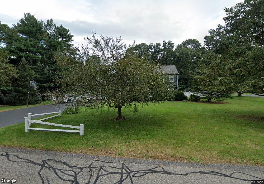
5 Willow Ln Wrentham, MA 02093
Estimated Value: $767,000 - $784,000
3
Beds
3
Baths
1,868
Sq Ft
$414/Sq Ft
Est. Value
About This Home
This home is located at 5 Willow Ln, Wrentham, MA 02093 and is currently estimated at $773,784, approximately $414 per square foot. 5 Willow Ln is a home located in Norfolk County with nearby schools including Delaney Elementary School and Charles E Roderick.
Ownership History
Date
Name
Owned For
Owner Type
Purchase Details
Closed on
Jul 29, 2022
Sold by
Mccarthy Shawn F and Mccarthy Carol A
Bought by
Allen Nicolas J and Allen Victoria M
Current Estimated Value
Home Financials for this Owner
Home Financials are based on the most recent Mortgage that was taken out on this home.
Original Mortgage
$648,600
Outstanding Balance
$619,788
Interest Rate
5.78%
Mortgage Type
Purchase Money Mortgage
Estimated Equity
$153,996
Purchase Details
Closed on
May 30, 1995
Sold by
Ofena Corp
Bought by
Mccarthy Shawn F and Mccarthy Carol A
Purchase Details
Closed on
Apr 3, 1995
Sold by
Maple Hill Rt
Bought by
Ofena Corp
Create a Home Valuation Report for This Property
The Home Valuation Report is an in-depth analysis detailing your home's value as well as a comparison with similar homes in the area
Home Values in the Area
Average Home Value in this Area
Purchase History
| Date | Buyer | Sale Price | Title Company |
|---|---|---|---|
| Allen Nicolas J | $705,000 | None Available | |
| Mccarthy Shawn F | $218,892 | -- | |
| Mccarthy Shawn F | $218,892 | -- | |
| Ofena Corp | $17,500 | -- |
Source: Public Records
Mortgage History
| Date | Status | Borrower | Loan Amount |
|---|---|---|---|
| Open | Allen Nicolas J | $648,600 | |
| Previous Owner | Ofena Corp | $200,000 | |
| Previous Owner | Ofena Corp | $200,000 | |
| Previous Owner | Ofena Corp | $176,000 |
Source: Public Records
Tax History Compared to Growth
Tax History
| Year | Tax Paid | Tax Assessment Tax Assessment Total Assessment is a certain percentage of the fair market value that is determined by local assessors to be the total taxable value of land and additions on the property. | Land | Improvement |
|---|---|---|---|---|
| 2025 | $7,943 | $685,300 | $302,500 | $382,800 |
| 2024 | $7,728 | $644,000 | $302,500 | $341,500 |
| 2023 | $7,398 | $586,200 | $274,900 | $311,300 |
| 2022 | $7,256 | $530,800 | $256,400 | $274,400 |
| 2021 | $6,717 | $477,400 | $223,800 | $253,600 |
| 2020 | $6,628 | $465,100 | $199,000 | $266,100 |
| 2019 | $6,405 | $453,600 | $199,000 | $254,600 |
| 2018 | $6,560 | $460,700 | $215,800 | $244,900 |
| 2017 | $6,452 | $452,800 | $211,600 | $241,200 |
| 2016 | $6,313 | $442,100 | $205,500 | $236,600 |
| 2015 | $6,229 | $415,800 | $197,600 | $218,200 |
| 2014 | $6,069 | $396,400 | $175,400 | $221,000 |
Source: Public Records
Map
Nearby Homes
- 246 Forest Grove Ave
- 45 Joshua Rd
- 50 Reed Fulton Ave Unit Lot 61
- 3 Oak Rd
- 45 King St
- 570 Franklin St
- 0 W Birch Rd
- 3 Sparrow Rd
- 10 W Birch Rd
- 270 Dedham St
- 14 Essex St
- 10 Nature View Dr
- 15 Nature View Dr
- 38 Robin Rd
- 11 Quail Run Rd
- 1 Lorraine Metcalf Dr
- 3 Pheasanthill Rd
- 12 Waites Crossing Way
- 23 Fredrickson Rd
- 11 Elliot Mills Unit 11