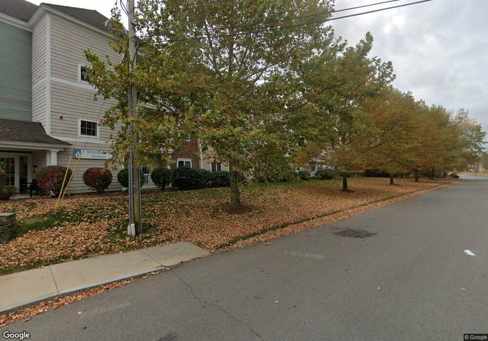
5 Woodman Way Unit 206 Newburyport, MA 01950
Estimated Value: $510,885 - $646,000
2
Beds
2
Baths
1,130
Sq Ft
$484/Sq Ft
Est. Value
About This Home
This home is located at 5 Woodman Way Unit 206, Newburyport, MA 01950 and is currently estimated at $546,471, approximately $483 per square foot. 5 Woodman Way Unit 206 is a home located in Essex County with nearby schools including Francis T. Bresnahan Elementary School, Edward G. Molin Elementary School, and Rupert A. Nock Middle School.
Ownership History
Date
Name
Owned For
Owner Type
Purchase Details
Closed on
Jan 22, 2013
Sold by
Robertson Michael J
Bought by
Robertson Michael J and Robertson Jennifer
Current Estimated Value
Home Financials for this Owner
Home Financials are based on the most recent Mortgage that was taken out on this home.
Original Mortgage
$215,000
Outstanding Balance
$149,630
Interest Rate
3.39%
Mortgage Type
New Conventional
Estimated Equity
$396,841
Purchase Details
Closed on
Jul 15, 2005
Sold by
Portside Rlty Dev Llc
Bought by
Robertson Michael J
Home Financials for this Owner
Home Financials are based on the most recent Mortgage that was taken out on this home.
Original Mortgage
$262,800
Interest Rate
5.67%
Mortgage Type
Purchase Money Mortgage
Create a Home Valuation Report for This Property
The Home Valuation Report is an in-depth analysis detailing your home's value as well as a comparison with similar homes in the area
Home Values in the Area
Average Home Value in this Area
Purchase History
| Date | Buyer | Sale Price | Title Company |
|---|---|---|---|
| Robertson Michael J | -- | -- | |
| Robertson Michael J | $316,000 | -- |
Source: Public Records
Mortgage History
| Date | Status | Borrower | Loan Amount |
|---|---|---|---|
| Open | Robertson Michael J | $215,000 | |
| Previous Owner | Robertson Michael J | $262,800 |
Source: Public Records
Tax History Compared to Growth
Tax History
| Year | Tax Paid | Tax Assessment Tax Assessment Total Assessment is a certain percentage of the fair market value that is determined by local assessors to be the total taxable value of land and additions on the property. | Land | Improvement |
|---|---|---|---|---|
| 2025 | $4,432 | $462,600 | $0 | $462,600 |
| 2024 | $4,294 | $430,700 | $0 | $430,700 |
| 2023 | $4,064 | $378,400 | $0 | $378,400 |
| 2022 | $4,023 | $335,000 | $0 | $335,000 |
| 2021 | $4,578 | $362,200 | $0 | $362,200 |
| 2020 | $4,023 | $313,300 | $0 | $313,300 |
| 2019 | $3,889 | $297,300 | $0 | $297,300 |
| 2018 | $3,726 | $281,000 | $0 | $281,000 |
| 2017 | $3,618 | $269,000 | $0 | $269,000 |
| 2016 | $3,447 | $257,400 | $0 | $257,400 |
| 2015 | $3,288 | $246,500 | $0 | $246,500 |
Source: Public Records
Map
Nearby Homes
- 232 Low St Unit 7
- 8 Hart Rd
- 61 Spofford St
- 8 Brown Ave
- 17 Alberta Ave
- 6 Storey Ave
- 42 Myrtle Ave
- 510 Merrimac St Unit 512
- 572 Merrimac St
- 492 Merrimac St
- 7 Frances Dr
- 19 Jefferson St
- 287 1/2 High St
- 138 Low St
- 1 Jefferson St
- 110 Low St
- 486 Main St
- 60 Merrimac St Unit 907
- 60 Merrimac St Unit 604
- 288 Merrimac St
- 5 Woodman Way Unit 310
- 5 Woodman Way Unit 309
- 5 Woodman Way Unit 308
- 5 Woodman Way Unit 307
- 5 Woodman Way Unit 306
- 5 Woodman Way Unit 305
- 5 Woodman Way Unit 304
- 5 Woodman Way Unit 303
- 5 Woodman Way Unit 302
- 5 Woodman Way Unit 301
- 5 Woodman Way Unit 210
- 5 Woodman Way Unit 209
- 5 Woodman Way Unit 208
- 5 Woodman Way Unit 207
- 5 Woodman Way Unit 205
- 5 Woodman Way Unit 204
- 5 Woodman Way Unit 203
- 5 Woodman Way Unit 202
- 5 Woodman Way Unit 201
- 5 Woodman Way Unit 110