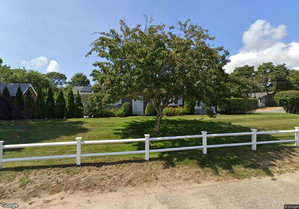
5 Yale Cir Dennis Port, MA 02639
Dennis Port NeighborhoodEstimated Value: $548,000 - $677,000
3
Beds
1
Bath
800
Sq Ft
$759/Sq Ft
Est. Value
About This Home
This home is located at 5 Yale Cir, Dennis Port, MA 02639 and is currently estimated at $606,899, approximately $758 per square foot. 5 Yale Cir is a home located in Barnstable County with nearby schools including Dennis-Yarmouth Regional High School and St. Pius X. School.
Ownership History
Date
Name
Owned For
Owner Type
Purchase Details
Closed on
Dec 19, 2003
Sold by
Burke Brenda C and Lynch Francis J
Bought by
Grainger Laura J and Grainger Thomas J
Current Estimated Value
Home Financials for this Owner
Home Financials are based on the most recent Mortgage that was taken out on this home.
Original Mortgage
$212,000
Outstanding Balance
$98,785
Interest Rate
5.96%
Mortgage Type
Purchase Money Mortgage
Estimated Equity
$508,114
Create a Home Valuation Report for This Property
The Home Valuation Report is an in-depth analysis detailing your home's value as well as a comparison with similar homes in the area
Home Values in the Area
Average Home Value in this Area
Purchase History
| Date | Buyer | Sale Price | Title Company |
|---|---|---|---|
| Grainger Laura J | $265,000 | -- | |
| Grainger Laura J | $265,000 | -- |
Source: Public Records
Mortgage History
| Date | Status | Borrower | Loan Amount |
|---|---|---|---|
| Open | Grainger Laura J | $212,000 | |
| Closed | Grainger Laura J | $212,000 |
Source: Public Records
Tax History Compared to Growth
Tax History
| Year | Tax Paid | Tax Assessment Tax Assessment Total Assessment is a certain percentage of the fair market value that is determined by local assessors to be the total taxable value of land and additions on the property. | Land | Improvement |
|---|---|---|---|---|
| 2025 | $2,491 | $575,300 | $190,100 | $385,200 |
| 2024 | $2,320 | $528,500 | $182,800 | $345,700 |
| 2023 | $2,244 | $480,600 | $166,200 | $314,400 |
| 2022 | $2,038 | $363,900 | $149,700 | $214,200 |
| 2021 | $2,054 | $340,700 | $167,700 | $173,000 |
| 2020 | $1,828 | $299,600 | $146,700 | $152,900 |
| 2019 | $3,903 | $279,700 | $143,900 | $135,800 |
| 2018 | $1,641 | $258,800 | $137,000 | $121,800 |
| 2017 | $1,507 | $245,100 | $127,200 | $117,900 |
| 2016 | $1,545 | $236,600 | $137,000 | $99,600 |
| 2015 | $1,514 | $236,600 | $137,000 | $99,600 |
| 2014 | $1,378 | $217,000 | $117,400 | $99,600 |
Source: Public Records
Map
Nearby Homes
- 19 Standish Way
- 71 Main St
- 4 Coffey Ln
- 125 Main St Unit 3
- 80 Michaels Ave
- 12 Spoonbill Rd
- 22 Wixon Rd
- 31 Easy St
- 72 Bassett Ln
- 268 Main St
- 15 Woodside Park Rd
- 95 Center St
- 26 Center St
- 61 Trotters Ln
- 37 Ocean Dr Unit 2
- 3 Pinefield Ln
- 64 Beaten Rd
- 78 Upper County Rd Unit A&B
- 78 Upper County Rd
- 20 Aunt Debbys Rd