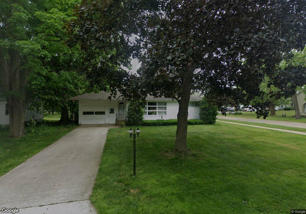
50 2nd St N Kent City, MI 49330
Estimated Value: $215,000 - $248,000
2
Beds
1
Bath
1,048
Sq Ft
$219/Sq Ft
Est. Value
About This Home
This home is located at 50 2nd St N, Kent City, MI 49330 and is currently estimated at $229,068, approximately $218 per square foot. 50 2nd St N is a home located in Kent County with nearby schools including Kent City Elementary School, Kent City Middle School, and Kent City High School.
Ownership History
Date
Name
Owned For
Owner Type
Purchase Details
Closed on
Mar 14, 2007
Sold by
Coalter Michael S and Coalter Deborah Lynn
Bought by
Austin John F and Austin Margaret L
Current Estimated Value
Home Financials for this Owner
Home Financials are based on the most recent Mortgage that was taken out on this home.
Original Mortgage
$82,400
Outstanding Balance
$49,848
Interest Rate
6.25%
Mortgage Type
Purchase Money Mortgage
Estimated Equity
$179,220
Purchase Details
Closed on
Sep 27, 2006
Sold by
Coalter Michael S and Coalter Deborah Lynn
Bought by
Wells Fargo Bank Na and Asset Backed Securities Corp Home Equity
Create a Home Valuation Report for This Property
The Home Valuation Report is an in-depth analysis detailing your home's value as well as a comparison with similar homes in the area
Home Values in the Area
Average Home Value in this Area
Purchase History
| Date | Buyer | Sale Price | Title Company |
|---|---|---|---|
| Austin John F | $103,000 | None Available | |
| Wells Fargo Bank Na | $97,772 | None Available |
Source: Public Records
Mortgage History
| Date | Status | Borrower | Loan Amount |
|---|---|---|---|
| Open | Austin John F | $82,400 |
Source: Public Records
Tax History Compared to Growth
Tax History
| Year | Tax Paid | Tax Assessment Tax Assessment Total Assessment is a certain percentage of the fair market value that is determined by local assessors to be the total taxable value of land and additions on the property. | Land | Improvement |
|---|---|---|---|---|
| 2025 | $1,681 | $106,900 | $0 | $0 |
| 2024 | $1,681 | $99,700 | $0 | $0 |
| 2023 | $1,607 | $86,000 | $0 | $0 |
| 2022 | $2,468 | $75,800 | $0 | $0 |
| 2021 | $2,409 | $64,200 | $0 | $0 |
| 2020 | $1,475 | $59,600 | $0 | $0 |
| 2019 | $2,305 | $55,200 | $0 | $0 |
| 2018 | $2,305 | $52,700 | $0 | $0 |
| 2017 | $2,249 | $49,700 | $0 | $0 |
| 2016 | $2,192 | $45,500 | $0 | $0 |
| 2015 | -- | $45,500 | $0 | $0 |
| 2013 | -- | $42,300 | $0 | $0 |
Source: Public Records
Map
Nearby Homes
- 86 Chase Ct NW
- 102 Chase Ct NW
- 111 Chase Ct NW
- 29 S Kent St NW
- 291 N Ball Creek Rd NW
- 200 Jacata Dr
- 278 Vansen Dr
- 94 Sweet Meadow Dr
- 3104 Rusco Rd
- 2611 Rusco Rd
- 2154 17 Mile Rd
- 2154 17 Mile Rd Unit Parcel A
- 2152 17 Mile Rd
- 98 Chase Ct NW
- 2150 17 Mile Rd
- 15415 Coalter Ave
- 96 E Waterloo St NW
- 14720 Sparta Ave NW
- 14766 Sparta Ave
- 14605 Apple Ave