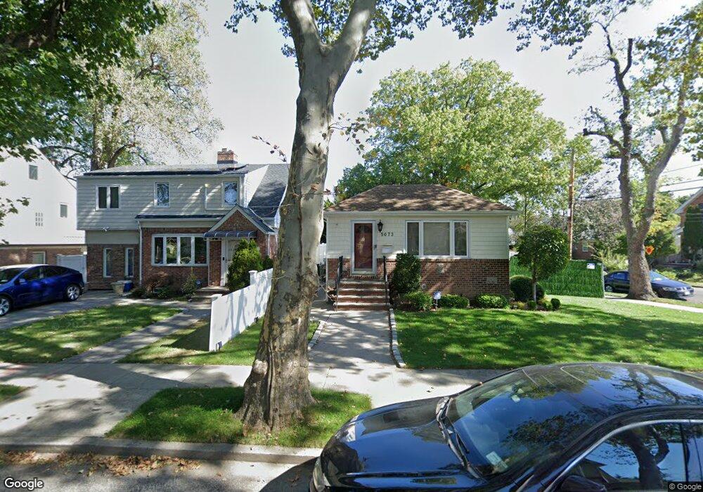
50-69 245 St Douglaston, NY 11362
Douglaston NeighborhoodEstimated Value: $1,044,389 - $1,372,000
3
Beds
2
Baths
1,700
Sq Ft
$723/Sq Ft
Est. Value
About This Home
This home is located at 50-69 245 St, Douglaston, NY 11362 and is currently estimated at $1,229,847, approximately $723 per square foot. 50-69 245 St is a home located in Queens County with nearby schools including P.S. 098 The Douglaston School, Louis Pasteur Middle School 67, and Benjamin N Cardozo High School.
Ownership History
Date
Name
Owned For
Owner Type
Purchase Details
Closed on
Aug 8, 2018
Sold by
Canal Debra A and Canal Michael
Bought by
Yang Stephanie Y and Yang Zhe
Current Estimated Value
Home Financials for this Owner
Home Financials are based on the most recent Mortgage that was taken out on this home.
Original Mortgage
$650,000
Outstanding Balance
$564,499
Interest Rate
4.5%
Mortgage Type
Purchase Money Mortgage
Estimated Equity
$665,348
Create a Home Valuation Report for This Property
The Home Valuation Report is an in-depth analysis detailing your home's value as well as a comparison with similar homes in the area
Home Values in the Area
Average Home Value in this Area
Purchase History
| Date | Buyer | Sale Price | Title Company |
|---|---|---|---|
| Yang Stephanie Y | $998,000 | -- |
Source: Public Records
Mortgage History
| Date | Status | Borrower | Loan Amount |
|---|---|---|---|
| Open | Yang Stephanie Y | $650,000 |
Source: Public Records
Tax History Compared to Growth
Tax History
| Year | Tax Paid | Tax Assessment Tax Assessment Total Assessment is a certain percentage of the fair market value that is determined by local assessors to be the total taxable value of land and additions on the property. | Land | Improvement |
|---|---|---|---|---|
| 2025 | $8,915 | $48,528 | $8,978 | $39,550 |
| 2024 | $8,927 | $45,785 | $9,046 | $36,739 |
| 2023 | $8,915 | $45,785 | $9,046 | $36,739 |
| 2022 | $8,752 | $59,880 | $11,700 | $48,180 |
| 2021 | $8,725 | $59,100 | $11,700 | $47,400 |
| 2020 | $8,264 | $59,760 | $11,700 | $48,060 |
| 2019 | $7,689 | $59,460 | $11,700 | $47,760 |
| 2018 | $7,480 | $38,154 | $6,419 | $31,735 |
| 2017 | $7,392 | $37,731 | $8,130 | $29,601 |
| 2016 | $6,831 | $37,731 | $8,130 | $29,601 |
| 2015 | $4,073 | $33,700 | $9,909 | $23,791 |
| 2014 | $4,073 | $31,795 | $10,470 | $21,325 |
Source: Public Records
Map
Nearby Homes
- 5022 Overbrook St
- 50-15 245th St
- 5211 Redfield St
- 5110 248th St
- 52-04 Redfield St
- 57-21 246th Crescent Unit B2-7 Upper
- 57-21 246th Crescent Unit 1FL
- 57-47 246th Crescent Unit 1
- 56- 10 244th St Unit 1
- 245-84 62 Ave Unit B1-1
- 242-52 Horace Harding Expy Unit 2
- 242-52 Horace Harding Expy Unit A
- 244-25 57th Dr Unit 6G
- 57-66 246th Crescent Unit F8
- 244-16 57th Dr Unit 2nd Floor
- 244-02 57th Dr Unit E-6
- 248-14 Deepdale Ave
- 57-55 244th St Unit 7F (1st Floor)
- 53-21 240th St
- 5006 Marathon Pkwy
- 5069 245th St
- 5073 245th St
- 5073 245th St
- 50-73 245th St
- 5065 245th St
- 5059 245th St
- 5218 Overbrook St
- 52-18 Overbrook St
- 5214 Overbrook St
- 5210 Overbrook St
- 5055 245th St
- 5074 245th St
- 5206 Overbrook St
- 24512 Thornhill Ave
- 5304 Overbrook St
- 5064 245th St
- 5053 245th St
- 24506 Thornhill Ave
- 24415 Thornhill Ave
- 5128 Overbrook St