50 Appleseed Rd Eastham, MA 02642
Estimated Value: $827,000 - $995,000
3
Beds
3
Baths
2,052
Sq Ft
$437/Sq Ft
Est. Value
About This Home
This home is located at 50 Appleseed Rd, Eastham, MA 02642 and is currently estimated at $896,669, approximately $436 per square foot. 50 Appleseed Rd is a home located in Barnstable County with nearby schools including Eastham Elementary School, Nauset Regional Middle School, and Nauset Regional High School.
Ownership History
Date
Name
Owned For
Owner Type
Purchase Details
Closed on
May 29, 1997
Sold by
Brierley Donald H
Bought by
Braley Ronald W
Current Estimated Value
Purchase Details
Closed on
Apr 16, 1996
Sold by
Brierley Donald H
Bought by
Cremins Denis J
Purchase Details
Closed on
Jan 16, 1996
Sold by
Daley Verena R Est
Bought by
Brierley Donald H
Create a Home Valuation Report for This Property
The Home Valuation Report is an in-depth analysis detailing your home's value as well as a comparison with similar homes in the area
Home Values in the Area
Average Home Value in this Area
Purchase History
| Date | Buyer | Sale Price | Title Company |
|---|---|---|---|
| Braley Ronald W | $55,000 | -- | |
| Cremins Denis J | $40,000 | -- | |
| Brierley Donald H | $140,000 | -- |
Source: Public Records
Mortgage History
| Date | Status | Borrower | Loan Amount |
|---|---|---|---|
| Open | Brierley Donald H | $393,750 | |
| Closed | Brierley Donald H | $252,000 |
Source: Public Records
Tax History Compared to Growth
Tax History
| Year | Tax Paid | Tax Assessment Tax Assessment Total Assessment is a certain percentage of the fair market value that is determined by local assessors to be the total taxable value of land and additions on the property. | Land | Improvement |
|---|---|---|---|---|
| 2025 | $6,704 | $869,500 | $294,000 | $575,500 |
| 2024 | $5,914 | $843,700 | $285,500 | $558,200 |
| 2023 | $5,477 | $756,500 | $264,300 | $492,200 |
| 2022 | $5,041 | $587,500 | $236,000 | $351,500 |
| 2021 | $4,901 | $533,900 | $214,500 | $319,400 |
| 2020 | $4,547 | $521,500 | $218,900 | $302,600 |
| 2019 | $4,179 | $506,600 | $212,600 | $294,000 |
| 2018 | $4,137 | $495,400 | $206,400 | $289,000 |
| 2017 | $3,768 | $477,000 | $202,300 | $274,700 |
| 2016 | $3,615 | $485,900 | $202,300 | $283,600 |
| 2015 | $3,292 | $463,700 | $198,400 | $265,300 |
Source: Public Records
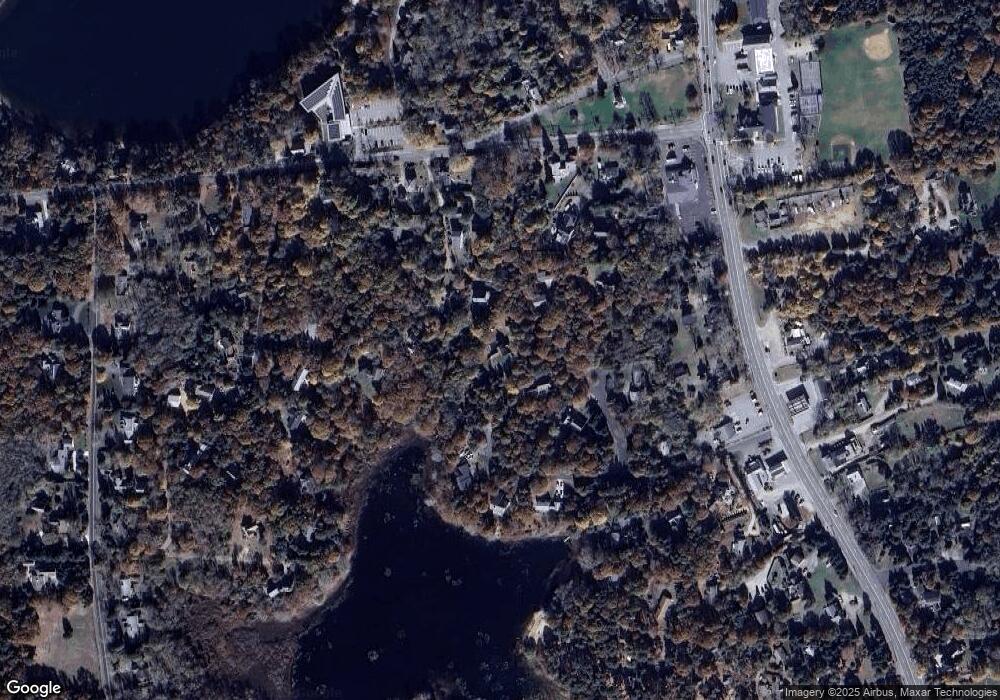
Map
Nearby Homes
- 2705 State Hwy
- 2705 State Hwy Unit 1-8
- 20 Redberry Ln
- 55 Grandfathers Way
- 330 Hay Rd
- 70 Deerfield Ln
- 82 Old Orchard Rd
- 1061 State Hwy Unit 4
- 1061 State Hwy Unit 1061
- 315 Candlewood Dr
- 20 Billingsgate Ave
- 25 Twin Rocks Dr
- 25 Forrest Ave
- 20 White Pines Dr
- 785 State Hwy Unit 9
- 20 Kittiwake Ln
- 10 Cartway N
- 46 Freeman Ln
- 100 Orchard Dr
- 255 Massasoit Rd
- 65 Appleseed Rd
- 30 Appleseed Rd
- 164 Samoset Rd
- 164 Samoset Rd Unit B
- 165R Samoset Rd
- 165 Samoset Rd Unit R
- 165 Samoset Rd
- 167R Samoset Rd
- 167-R Samoset Rd
- 6 Nathanile Swift Rd
- 55 Appleseed Rd
- 4 Swift Farm Ln
- 169R Samoset Rd
- 169-R Samoset Rd
- 171R Samoset Rd
- 171-R Samoset Rd
- 161-R Samoset Rd
- 5 Nathanile Swift Rd
- 163R Samoset Rd
- 163 Samoset Rear Rd