50 Atlantic Ave Gloucester, MA 01930
West Gloucester NeighborhoodEstimated Value: $1,406,000 - $3,112,000
3
Beds
2
Baths
1,650
Sq Ft
$1,309/Sq Ft
Est. Value
About This Home
This home is located at 50 Atlantic Ave, Gloucester, MA 01930 and is currently estimated at $2,159,580, approximately $1,308 per square foot. 50 Atlantic Ave is a home located in Essex County with nearby schools including West Parish and Ralph B O'maley Middle School.
Ownership History
Date
Name
Owned For
Owner Type
Purchase Details
Closed on
Mar 12, 2025
Sold by
Goodhue Francis A
Bought by
Goodhue Fifty Atlantic Nt and Goodhue
Current Estimated Value
Purchase Details
Closed on
Mar 26, 2024
Sold by
Fifty Atlantic Llc
Bought by
Goodhue Francis A
Purchase Details
Closed on
Mar 6, 2024
Sold by
Mary B Goodhue Rt and Goodhue
Bought by
Goodhue Francis A
Create a Home Valuation Report for This Property
The Home Valuation Report is an in-depth analysis detailing your home's value as well as a comparison with similar homes in the area
Home Values in the Area
Average Home Value in this Area
Purchase History
| Date | Buyer | Sale Price | Title Company |
|---|---|---|---|
| Goodhue Fifty Atlantic Nt | -- | None Available | |
| Goodhue Fifty Atlantic Nt | -- | None Available | |
| Goodhue Fifty Atlantic Nt | -- | None Available | |
| Goodhue Francis A | -- | None Available | |
| Goodhue Francis A | -- | None Available | |
| Goodhue Francis A | -- | None Available | |
| Goodhue Francis A | -- | None Available | |
| Goodhue Francis A | -- | None Available | |
| Goodhue Francis A | -- | None Available | |
| Goodhue Francis A | -- | None Available | |
| Goodhue Francis A | -- | None Available |
Source: Public Records
Tax History Compared to Growth
Tax History
| Year | Tax Paid | Tax Assessment Tax Assessment Total Assessment is a certain percentage of the fair market value that is determined by local assessors to be the total taxable value of land and additions on the property. | Land | Improvement |
|---|---|---|---|---|
| 2025 | $21,191 | $2,180,100 | $1,731,500 | $448,600 |
| 2024 | $20,343 | $2,090,700 | $1,649,000 | $441,700 |
| 2023 | $13,036 | $1,231,000 | $815,300 | $415,700 |
| 2022 | $12,482 | $1,064,100 | $708,600 | $355,500 |
| 2021 | $11,332 | $910,900 | $565,900 | $345,000 |
| 2020 | $10,891 | $883,300 | $565,900 | $317,400 |
| 2019 | $10,666 | $840,500 | $539,600 | $300,900 |
| 2018 | $10,534 | $814,700 | $526,400 | $288,300 |
| 2017 | $10,249 | $777,000 | $501,200 | $275,800 |
| 2016 | $9,820 | $721,500 | $479,200 | $242,300 |
| 2015 | $9,600 | $703,300 | $468,300 | $235,000 |
Source: Public Records
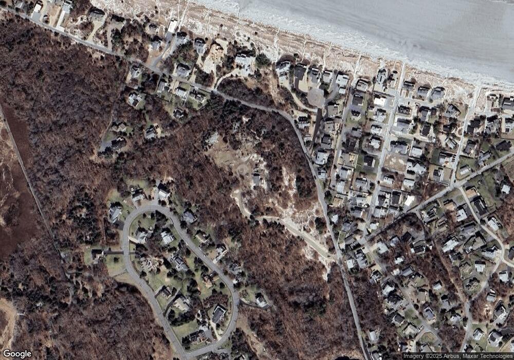
Map
Nearby Homes
- 226 Atlantic St
- 188 Atlantic St
- 6 River Rd
- 30 Atlantic St
- 672 Washington St
- 49 Thurston Point Rd
- 109 Riverview Rd
- 3 Colburn St
- 3 Colburn St Unit 1
- 3 Colburn St Unit 2
- 18 Cherry St
- 5 Samoset Rd Unit A
- 48 Rowley Shore
- 65 Poplar St
- 11 Overlook Ave
- 368 Essex Ave
- 19 Mystic Ave
- 6 Beauport Ave
- 145 Essex Ave Unit 610
- 227 Essex Ave