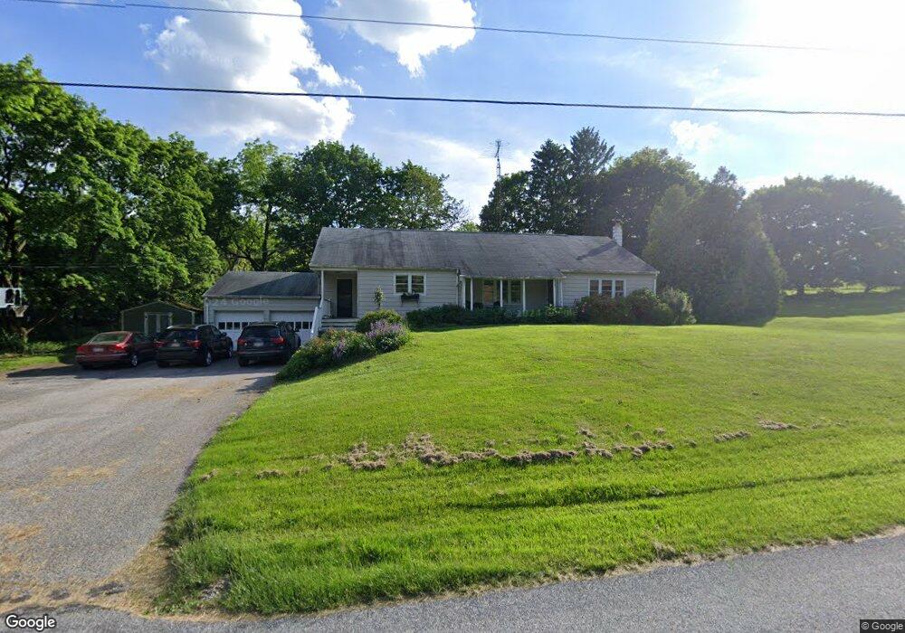
50 Barshinger Rd Red Lion, PA 17356
Estimated Value: $305,000 - $329,000
3
Beds
1
Bath
1,780
Sq Ft
$178/Sq Ft
Est. Value
About This Home
This home is located at 50 Barshinger Rd, Red Lion, PA 17356 and is currently estimated at $316,663, approximately $177 per square foot. 50 Barshinger Rd is a home located in York County with nearby schools including North Hopewell-Winterstown Elementary School, Red Lion Area Junior High School, and Red Lion Area Senior High School.
Ownership History
Date
Name
Owned For
Owner Type
Purchase Details
Closed on
Aug 30, 2006
Sold by
Chandlee Joshua D
Bought by
Gatchell Matthew
Current Estimated Value
Home Financials for this Owner
Home Financials are based on the most recent Mortgage that was taken out on this home.
Original Mortgage
$120,000
Outstanding Balance
$72,691
Interest Rate
6.83%
Mortgage Type
Purchase Money Mortgage
Estimated Equity
$243,972
Create a Home Valuation Report for This Property
The Home Valuation Report is an in-depth analysis detailing your home's value as well as a comparison with similar homes in the area
Home Values in the Area
Average Home Value in this Area
Purchase History
| Date | Buyer | Sale Price | Title Company |
|---|---|---|---|
| Gatchell Matthew | $200,000 | None Available |
Source: Public Records
Mortgage History
| Date | Status | Borrower | Loan Amount |
|---|---|---|---|
| Open | Gatchell Matthew | $120,000 |
Source: Public Records
Tax History Compared to Growth
Tax History
| Year | Tax Paid | Tax Assessment Tax Assessment Total Assessment is a certain percentage of the fair market value that is determined by local assessors to be the total taxable value of land and additions on the property. | Land | Improvement |
|---|---|---|---|---|
| 2025 | $4,323 | $138,280 | $45,600 | $92,680 |
| 2024 | $4,152 | $138,280 | $45,600 | $92,680 |
| 2023 | $4,152 | $138,280 | $45,600 | $92,680 |
| 2022 | $4,152 | $138,280 | $45,600 | $92,680 |
| 2021 | $4,035 | $138,280 | $45,600 | $92,680 |
| 2020 | $4,035 | $138,280 | $45,600 | $92,680 |
| 2019 | $4,021 | $138,280 | $45,600 | $92,680 |
| 2018 | $4,000 | $138,280 | $45,600 | $92,680 |
| 2017 | $3,966 | $138,280 | $45,600 | $92,680 |
| 2016 | $0 | $138,280 | $45,600 | $92,680 |
| 2015 | -- | $138,280 | $45,600 | $92,680 |
| 2014 | -- | $138,280 | $45,600 | $92,680 |
Source: Public Records
Map
Nearby Homes
- 420 Greenway Dr
- 661 S Duke St
- 600 S Duke St
- 460 Highland Rd
- 131 Country Club Rd
- 738 Wise Ave
- 126 Linden Ave
- 610 Memory Ln
- 211 Country Ridge Dr
- 168 Country Ridge Dr
- 156 Country Ridge Dr
- 503 W Broadway
- 131 Country Ridge Dr
- 445 S Main St
- 126 Country Ridge Dr
- 840 Country Club Rd
- 321 Atlantic Ave
- 338 Atlantic Ave
- 260 Country Ridge Dr
- 46 S Main St
- 370 Winterstown Rd
- 410 Winterstown Rd
- 390 Winterstown Rd
- 95 Barshinger Rd
- 350 Winterstown Rd
- 355 Winterstown Rd
- 340 Winterstown Rd
- 335 Winterstown Rd
- 330 Winterstown Rd
- 321 Winterstown Rd
- 313 Winterstown Rd
- 314 Winterstown Rd
- 409 Winterstown Rd
- 460 Winterstown Rd
- 320 Winterstown Rd
- 313 Forest Hills Rd
- 308 Forest Hills Rd
- 312 Winterstown Rd
- 293 Winterstown Rd
- 310 Winterstown Rd