50 Basking Brook Ln Shelton, CT 06484
Estimated Value: $637,000 - $749,000
3
Beds
3
Baths
2,370
Sq Ft
$290/Sq Ft
Est. Value
About This Home
This home is located at 50 Basking Brook Ln, Shelton, CT 06484 and is currently estimated at $688,313, approximately $290 per square foot. 50 Basking Brook Ln is a home located in Fairfield County with nearby schools including Perry Hill School, Shelton Intermediate School, and Shelton High School.
Ownership History
Date
Name
Owned For
Owner Type
Purchase Details
Closed on
Jun 28, 1999
Sold by
South Forty Inc
Bought by
Anderson Philip P and Anderson Elizabeth A
Current Estimated Value
Purchase Details
Closed on
Jan 7, 1999
Sold by
South 40 Inc
Bought by
Frassine Ermanno and Gauthier Sylvie
Create a Home Valuation Report for This Property
The Home Valuation Report is an in-depth analysis detailing your home's value as well as a comparison with similar homes in the area
Home Values in the Area
Average Home Value in this Area
Purchase History
| Date | Buyer | Sale Price | Title Company |
|---|---|---|---|
| Anderson Philip P | $224,900 | -- | |
| Anderson Philip P | $224,900 | -- | |
| Frassine Ermanno | $224,900 | -- | |
| Frassine Ermanno | $224,900 | -- |
Source: Public Records
Mortgage History
| Date | Status | Borrower | Loan Amount |
|---|---|---|---|
| Open | Frassine Ermanno | $129,500 | |
| Closed | Frassine Ermanno | $155,300 | |
| Closed | Frassine Ermanno | $40,000 |
Source: Public Records
Tax History Compared to Growth
Tax History
| Year | Tax Paid | Tax Assessment Tax Assessment Total Assessment is a certain percentage of the fair market value that is determined by local assessors to be the total taxable value of land and additions on the property. | Land | Improvement |
|---|---|---|---|---|
| 2025 | $6,617 | $351,610 | $86,520 | $265,090 |
| 2024 | $6,744 | $351,610 | $86,520 | $265,090 |
| 2023 | $6,143 | $351,610 | $86,520 | $265,090 |
| 2022 | $6,143 | $351,610 | $86,520 | $265,090 |
| 2021 | $5,578 | $253,190 | $85,260 | $167,930 |
| 2020 | $5,677 | $253,190 | $85,260 | $167,930 |
| 2019 | $5,677 | $253,190 | $85,260 | $167,930 |
| 2017 | $5,623 | $253,190 | $85,260 | $167,930 |
| 2015 | $5,311 | $238,070 | $80,640 | $157,430 |
| 2014 | $5,311 | $238,070 | $80,640 | $157,430 |
Source: Public Records
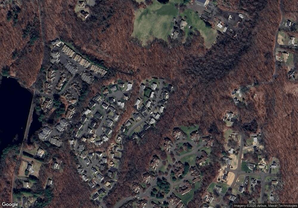
Map
Nearby Homes
- 45 Greystone
- 19 L Hermitage Dr Unit 19
- 39 L Hermitage Dr Unit 39
- 141 Spring Glen Unit 141
- 113 Spring Glen
- 16 Willoughby Rd
- 5 Independence Dr
- 3 Maler Ave
- 27 Country Walk
- 358 Long Hill Ave
- 93 Shelton Ave
- 304 Summerfield Gardens Unit 304
- 2 Congress Ave
- 356 Long Hill Ave
- 277 Eagles Landing Unit 277
- 125 Oak Ave
- 61 Maler Ave
- 0 Riverview Ave
- 37 Foley Ave
- 498 Elk Run Unit 498
- 62 Basking Brook Ln
- 54 Basking Brook Ln
- 53 Basking Brook Ln
- 49 Basking Brook Ln
- 57 Basking Brook Ln
- 58 Basking Brook Ln
- 42 Basking Brook Ln
- 66 Basking Brook Ln
- 46 Basking Brook Ln
- 53 Basking Ridge Rd
- 54 Basking Ridge Rd
- 65 Basking Brook Ln
- 45 Basking Brook Ln
- 38 Basking Brook Ln
- 37 Basking Brook Ln
- 41 Basking Brook Ln
- 50 Basking Ridge Rd
- 10 Hickory Hill
- 34 Basking Brook Ln
- 46 Basking Ridge Rd