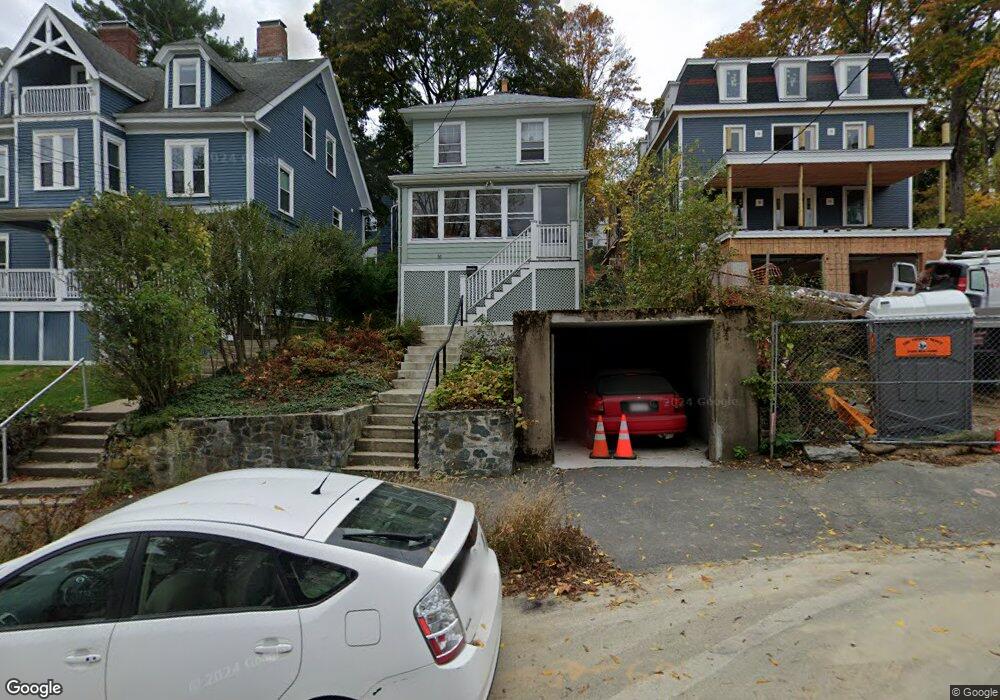
50 Bennington St Newton, MA 02458
Newton Corner NeighborhoodEstimated Value: $925,000 - $1,332,000
3
Beds
1
Bath
1,278
Sq Ft
$831/Sq Ft
Est. Value
About This Home
This home is located at 50 Bennington St, Newton, MA 02458 and is currently estimated at $1,062,562, approximately $831 per square foot. 50 Bennington St is a home located in Middlesex County with nearby schools including Underwood Elementary School, Bigelow Middle School, and Newton North High School.
Ownership History
Date
Name
Owned For
Owner Type
Purchase Details
Closed on
Dec 18, 2024
Sold by
Guidotti Guido and Yoo Anna
Bought by
Guido Guidotti 2009 Ret and Guidotti
Current Estimated Value
Purchase Details
Closed on
Jul 23, 2021
Sold by
G Guidotti Sr 2006 Ret and Berlin
Bought by
Guidotti Guido
Purchase Details
Closed on
May 25, 2006
Sold by
Guidotti Guido
Bought by
Guido Guidotti Sr Ret
Create a Home Valuation Report for This Property
The Home Valuation Report is an in-depth analysis detailing your home's value as well as a comparison with similar homes in the area
Home Values in the Area
Average Home Value in this Area
Purchase History
| Date | Buyer | Sale Price | Title Company |
|---|---|---|---|
| Guido Guidotti 2009 Ret | -- | None Available | |
| Guido Guidotti 2009 Ret | -- | None Available | |
| Guidotti Guido | -- | None Available | |
| Guidotti Guido | -- | None Available | |
| Guido Guidotti Sr Ret | -- | -- | |
| Guido Guidotti Sr Ret | -- | -- |
Source: Public Records
Tax History Compared to Growth
Tax History
| Year | Tax Paid | Tax Assessment Tax Assessment Total Assessment is a certain percentage of the fair market value that is determined by local assessors to be the total taxable value of land and additions on the property. | Land | Improvement |
|---|---|---|---|---|
| 2025 | $6,581 | $671,500 | $0 | $0 |
| 2024 | $6,363 | $0 | $0 | $0 |
| 2023 | $5,984 | $587,800 | $0 | $0 |
| 2022 | $5,726 | $544,300 | $544,300 | $0 |
| 2021 | $5,525 | $513,500 | $513,500 | $0 |
| 2020 | $5,361 | $513,500 | $513,500 | $0 |
| 2019 | $5,209 | $498,500 | $0 | $0 |
| 2018 | $5,024 | $464,300 | $0 | $0 |
| 2017 | $4,871 | $438,000 | $0 | $0 |
| 2016 | $4,658 | $409,300 | $0 | $0 |
| 2015 | $4,441 | $382,500 | $382,500 | $0 |
Source: Public Records
Map
Nearby Homes
- 548 Centre St Unit 5
- 14 Summit St
- 35 George St Unit 35
- 37 George St Unit 37
- 686 Centre St
- 59 Hyde Ave
- 12 Richardson St Unit 14
- 9 Baldwin St Unit 15C
- 68 Vernon St
- 206 Franklin St
- 34 Channing St Unit 1
- 34 Channing St Unit 2
- 230 Bellevue St Unit 1
- 1 Channing St
- 324 Adams St Unit 2
- 65-67 Saint James Cir
- 90 Waban Park Unit 2
- 169 Washington St Unit 7
- 159 Washington St Unit 4
- 180 Hunnewell Ave Unit 180
- 52 Bennington St
- 46 Bennington St
- 46 Bennington St Unit 2
- 46 Bennington St Unit 1
- 11 Mount Ida Terrace
- 13 Mount Ida Terrace
- 13 Mount Ida Terrace Unit 13
- 54 Bennington St
- 56 Bennington St
- 51 Bennington St Unit 51A
- 51 Bennington St
- 66 Bennington St
- 14 Mount Ida Terrace
- 36 Bennington St Unit 38
- 53 Bennington St
- 12 Mount Ida Terrace
- 45 Bennington St
- 43 Bennington St
- 43 Bennington St Unit 43
- 43 Bennington St