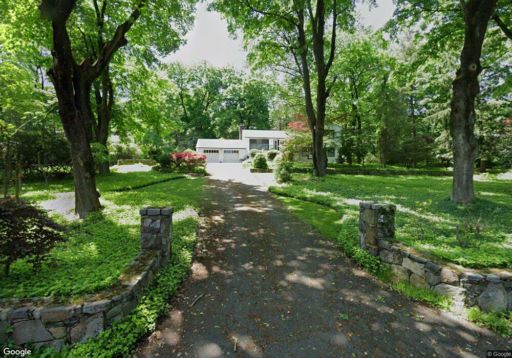
50 Birch Rd Briarcliff Manor, NY 10510
Estimated Value: $876,000 - $1,091,077
5
Beds
5
Baths
5,178
Sq Ft
$189/Sq Ft
Est. Value
About This Home
This home is located at 50 Birch Rd, Briarcliff Manor, NY 10510 and is currently estimated at $976,769, approximately $188 per square foot. 50 Birch Rd is a home located in Westchester County with nearby schools including Todd Elementary School, Briarcliff Middle School, and Briarcliff High School.
Ownership History
Date
Name
Owned For
Owner Type
Purchase Details
Closed on
Jun 17, 2025
Sold by
50 Birch Road Corp
Bought by
Maietta Louis and Maietta Christina
Current Estimated Value
Home Financials for this Owner
Home Financials are based on the most recent Mortgage that was taken out on this home.
Original Mortgage
$600,000
Outstanding Balance
$598,475
Interest Rate
6.86%
Mortgage Type
New Conventional
Estimated Equity
$378,294
Purchase Details
Closed on
Mar 12, 2024
Sold by
Gcsc22 Llc
Bought by
50 Brich Road Corp
Purchase Details
Closed on
Jan 18, 2023
Sold by
Wangir Revocable Trust
Bought by
Gcsc22 Llc
Create a Home Valuation Report for This Property
The Home Valuation Report is an in-depth analysis detailing your home's value as well as a comparison with similar homes in the area
Home Values in the Area
Average Home Value in this Area
Purchase History
| Date | Buyer | Sale Price | Title Company |
|---|---|---|---|
| Maietta Louis | $915,000 | None Listed On Document | |
| 50 Brich Road Corp | $525,000 | Fidelity National Title | |
| Gcsc22 Llc | $500,000 | First American Title |
Source: Public Records
Mortgage History
| Date | Status | Borrower | Loan Amount |
|---|---|---|---|
| Open | Maietta Louis | $600,000 |
Source: Public Records
Tax History Compared to Growth
Tax History
| Year | Tax Paid | Tax Assessment Tax Assessment Total Assessment is a certain percentage of the fair market value that is determined by local assessors to be the total taxable value of land and additions on the property. | Land | Improvement |
|---|---|---|---|---|
| 2024 | $28,097 | $1,036,300 | $536,900 | $499,400 |
| 2023 | $26,465 | $956,000 | $536,900 | $419,100 |
| 2022 | $22,418 | $859,600 | $536,900 | $322,700 |
| 2021 | $21,945 | $803,400 | $536,900 | $266,500 |
| 2020 | $20,965 | $803,400 | $536,900 | $266,500 |
| 2019 | $21,024 | $788,400 | $536,900 | $251,500 |
| 2018 | $23,605 | $788,400 | $536,900 | $251,500 |
| 2017 | $10,082 | $788,400 | $536,900 | $251,500 |
| 2016 | $230,180 | $765,500 | $536,900 | $228,600 |
| 2015 | $12,600 | $33,600 | $12,900 | $20,700 |
| 2014 | $12,600 | $33,600 | $12,900 | $20,700 |
| 2013 | $12,600 | $33,600 | $12,900 | $20,700 |
Source: Public Records
Map
Nearby Homes
- 345 Elm Rd
- 858 Pleasantville Rd
- 10 Shadow Tree Ln
- 134 Dalmeny Rd
- 417 Long Hill Rd E
- 37 Tulip Rd
- 320 Cedar Dr W
- 518 Pleasantville Rd
- 24 Sleepy Hollow Rd
- 7 Dunn Ln
- 333 N State Rd Unit 55
- 409 Central Dr
- 177 Old Briarcliff Rd
- 3 Holbrook Rd
- 620 Sleepy Hollow Rd
- 27 Hardscrabble Rd
- 517 Old Chappaqua Rd
- 175 Chappaqua Rd
- 134 Pleasantville Rd
- 51 Choate Ln