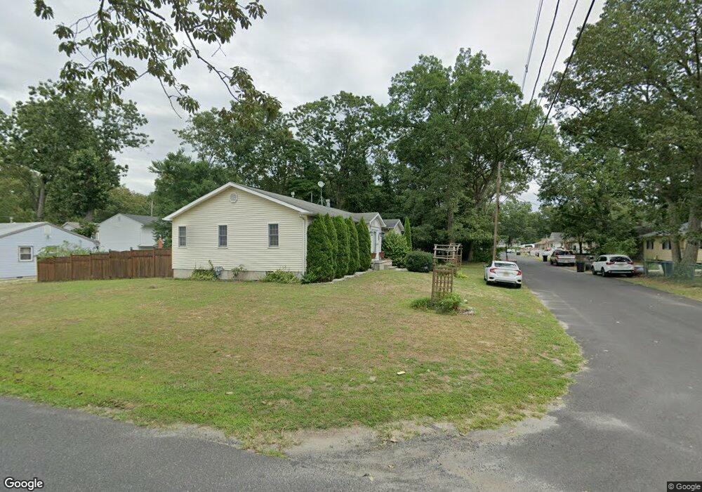
50 Bobolink Blvd Browns Mills, NJ 08015
Estimated Value: $174,000
--
Bed
--
Bath
1,728
Sq Ft
$101/Sq Ft
Est. Value
About This Home
This home is located at 50 Bobolink Blvd, Browns Mills, NJ 08015 and is currently priced at $174,000, approximately $100 per square foot. 50 Bobolink Blvd is a home located in Burlington County.
Ownership History
Date
Name
Owned For
Owner Type
Purchase Details
Closed on
Jan 30, 2008
Sold by
Lardell Eddie D and Lardell Sylvia L
Bought by
Baptiste Stephen A and Jackson Baptiste Marjorie L
Current Estimated Value
Home Financials for this Owner
Home Financials are based on the most recent Mortgage that was taken out on this home.
Original Mortgage
$265,487
Outstanding Balance
$168,161
Interest Rate
6.14%
Mortgage Type
VA
Purchase Details
Closed on
Jun 13, 1997
Sold by
Danitom Development Inc
Bought by
Lardell Eddie D and Lardell Sylvia
Home Financials for this Owner
Home Financials are based on the most recent Mortgage that was taken out on this home.
Original Mortgage
$120,166
Interest Rate
7.79%
Mortgage Type
VA
Create a Home Valuation Report for This Property
The Home Valuation Report is an in-depth analysis detailing your home's value as well as a comparison with similar homes in the area
Home Values in the Area
Average Home Value in this Area
Purchase History
| Date | Buyer | Sale Price | Title Company |
|---|---|---|---|
| Baptiste Stephen A | $259,900 | Fidelity Natl Title Ins Co | |
| Lardell Eddie D | $116,970 | Congress Title Corp |
Source: Public Records
Mortgage History
| Date | Status | Borrower | Loan Amount |
|---|---|---|---|
| Open | Baptiste Stephen A | $265,487 | |
| Previous Owner | Lardell Eddie D | $120,166 |
Source: Public Records
Tax History Compared to Growth
Tax History
| Year | Tax Paid | Tax Assessment Tax Assessment Total Assessment is a certain percentage of the fair market value that is determined by local assessors to be the total taxable value of land and additions on the property. | Land | Improvement |
|---|---|---|---|---|
| 2025 | -- | $215,700 | $41,000 | $174,700 |
| 2024 | -- | $215,700 | $41,000 | $174,700 |
| 2023 | -- | $215,700 | $41,000 | $174,700 |
| 2021 | $0 | $215,700 | $41,000 | $174,700 |
| 2020 | $0 | $215,700 | $41,000 | $174,700 |
| 2019 | $4,801 | $215,700 | $41,000 | $174,700 |
| 2018 | $0 | $215,700 | $41,000 | $174,700 |
| 2017 | $4,697 | $215,700 | $41,000 | $174,700 |
| 2016 | $4,560 | $122,000 | $19,200 | $102,800 |
| 2015 | $4,524 | $122,000 | $19,200 | $102,800 |
| 2014 | $4,325 | $122,000 | $19,200 | $102,800 |
Source: Public Records
Map
Nearby Homes
- 39 Pemberton Blvd
- 38 Bobolink Blvd
- 302 Bluebird St
- 45 Bobolink Blvd
- 37 Bobolink Blvd
- 45 Pemberton Blvd
- 29 Bobolink Blvd
- 202 Bluebird St
- 301 Bluebird St
- 30 Bobolink Blvd
- 46 Bobwhite Blvd
- 200 Bluebird St
- 21 Bobolink Blvd
- 42 Pemberton Blvd
- 19 Pemberton Blvd
- 54 Pemberton Blvd
- 32 Pemberton Blvd
- 38 Bobwhite Blvd
- 303 Bluebird St
- 20 Bobolink Blvd