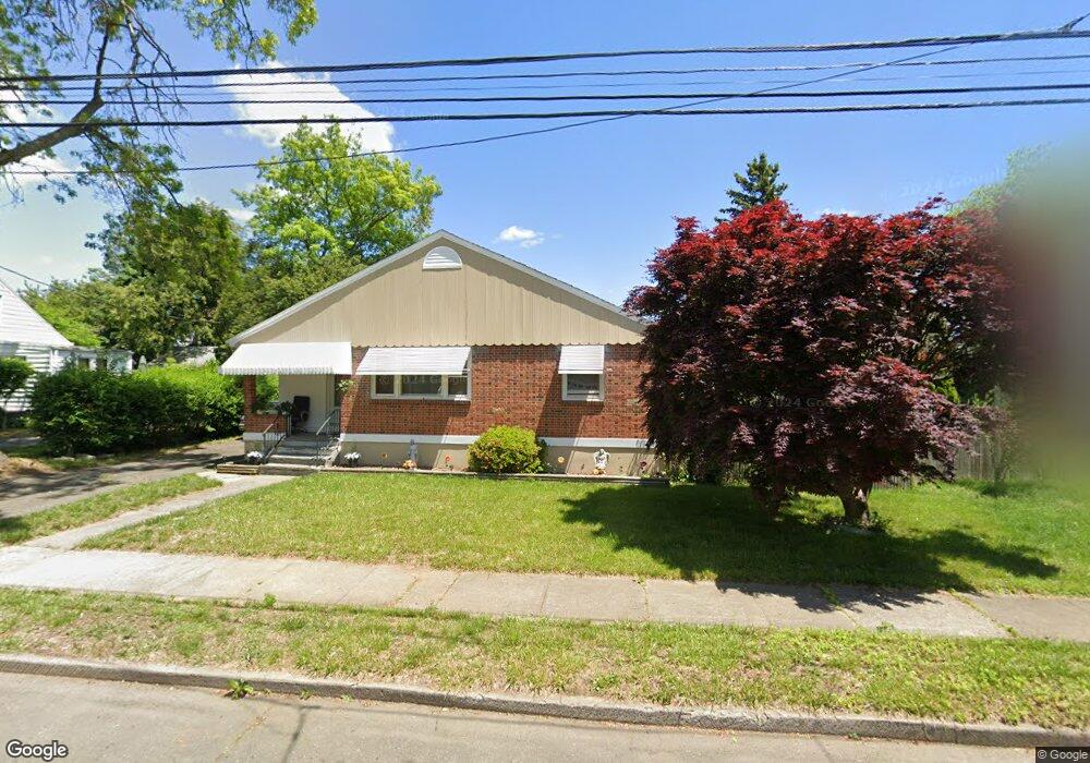
50 Breyer Ave Bridgeport, CT 06606
North End NeighborhoodEstimated Value: $355,000 - $384,610
2
Beds
1
Bath
1,213
Sq Ft
$305/Sq Ft
Est. Value
About This Home
This home is located at 50 Breyer Ave, Bridgeport, CT 06606 and is currently estimated at $369,403, approximately $304 per square foot. 50 Breyer Ave is a home located in Fairfield County with nearby schools including Blackham School, Central High School, and Assumption Catholic School.
Ownership History
Date
Name
Owned For
Owner Type
Purchase Details
Closed on
Apr 17, 1997
Sold by
Choiniere Joanne
Bought by
Mcguire Terea and Mcguire Joseph
Current Estimated Value
Home Financials for this Owner
Home Financials are based on the most recent Mortgage that was taken out on this home.
Original Mortgage
$79,900
Interest Rate
7.76%
Mortgage Type
Unknown
Create a Home Valuation Report for This Property
The Home Valuation Report is an in-depth analysis detailing your home's value as well as a comparison with similar homes in the area
Home Values in the Area
Average Home Value in this Area
Purchase History
| Date | Buyer | Sale Price | Title Company |
|---|---|---|---|
| Mcguire Terea | $80,000 | -- | |
| Mcguire Terea | $80,000 | -- |
Source: Public Records
Mortgage History
| Date | Status | Borrower | Loan Amount |
|---|---|---|---|
| Closed | Mcguire Terea | $224,500 | |
| Closed | Mcguire Terea | $79,900 | |
| Closed | Mcguire Terea | $5,300 |
Source: Public Records
Tax History Compared to Growth
Tax History
| Year | Tax Paid | Tax Assessment Tax Assessment Total Assessment is a certain percentage of the fair market value that is determined by local assessors to be the total taxable value of land and additions on the property. | Land | Improvement |
|---|---|---|---|---|
| 2025 | $6,556 | $150,880 | $79,100 | $71,780 |
| 2024 | $6,556 | $150,880 | $79,100 | $71,780 |
| 2023 | $6,556 | $150,880 | $79,100 | $71,780 |
| 2022 | $6,556 | $150,880 | $79,100 | $71,780 |
| 2021 | $6,556 | $150,880 | $79,100 | $71,780 |
| 2020 | $5,812 | $107,650 | $45,440 | $62,210 |
| 2019 | $5,812 | $107,650 | $45,440 | $62,210 |
| 2018 | $5,853 | $107,650 | $45,440 | $62,210 |
| 2017 | $5,853 | $107,650 | $45,440 | $62,210 |
| 2016 | $5,853 | $107,650 | $45,440 | $62,210 |
| 2015 | $5,736 | $135,930 | $52,470 | $83,460 |
| 2014 | $5,736 | $135,930 | $52,470 | $83,460 |
Source: Public Records
Map
Nearby Homes
- 376 Savoy St
- 520 Savoy St
- 234 Savoy St
- 631 Fairview Ave
- 604 Birmingham St
- 681 Westfield Ave
- 105 Tremont Ave Unit E
- 105 Tremont Ave Unit B
- 252 Harlem Ave Unit B6
- 252 Harlem Ave Unit B5
- 113 Clark St
- 214 Burnsford Ave
- 120 Clark St
- 605 Merritt St
- 125 Garden Dr
- 783 Clark St
- 203 Wayne St
- 375 Ruth St
- 184 Merritt St
- 3401 Main St
- 64 Breyer Ave
- 30 Breyer Ave
- 59 Cornell St
- 45 Cornell St
- 127 Bretton St
- 71 Cornell St
- 55 Breyer Ave
- 31 Cornell St
- 29 Breyer Ave
- 446 Savoy St
- 89 Cornell St
- 426 Savoy St
- 416 Savoy St
- 466 Savoy St
- 175 Bretton St Unit B12
- 175 Bretton St Unit B11
- 175 Bretton St Unit B9
- 175 Bretton St Unit A12
- 175 Bretton St Unit A11
- 175 Bretton St Unit A10