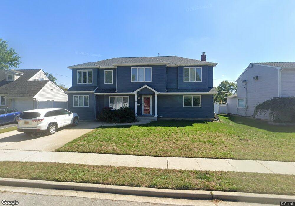
50 Briarcliff Rd Westbury, NY 11590
Estimated Value: $811,000 - $1,057,362
2
Beds
1
Bath
1,019
Sq Ft
$917/Sq Ft
Est. Value
About This Home
This home is located at 50 Briarcliff Rd, Westbury, NY 11590 and is currently estimated at $934,181, approximately $916 per square foot. 50 Briarcliff Rd is a home located in Nassau County with nearby schools including Jericho Middle School, Jericho Senior High School, and Westbury Friends School.
Ownership History
Date
Name
Owned For
Owner Type
Purchase Details
Closed on
Mar 12, 2015
Sold by
Baskind Nancy and Hateau Dennis M
Bought by
Palmerson Joseph and Palmerson Seema
Current Estimated Value
Home Financials for this Owner
Home Financials are based on the most recent Mortgage that was taken out on this home.
Original Mortgage
$417,000
Outstanding Balance
$320,438
Interest Rate
3.77%
Mortgage Type
New Conventional
Estimated Equity
$613,743
Purchase Details
Closed on
Sep 22, 2006
Sold by
Baskind Nancy
Create a Home Valuation Report for This Property
The Home Valuation Report is an in-depth analysis detailing your home's value as well as a comparison with similar homes in the area
Home Values in the Area
Average Home Value in this Area
Purchase History
| Date | Buyer | Sale Price | Title Company |
|---|---|---|---|
| Palmerson Joseph | $480,000 | Judicial Title Insurance | |
| -- | -- | -- |
Source: Public Records
Mortgage History
| Date | Status | Borrower | Loan Amount |
|---|---|---|---|
| Open | Palmerson Joseph | $417,000 |
Source: Public Records
Tax History Compared to Growth
Tax History
| Year | Tax Paid | Tax Assessment Tax Assessment Total Assessment is a certain percentage of the fair market value that is determined by local assessors to be the total taxable value of land and additions on the property. | Land | Improvement |
|---|---|---|---|---|
| 2025 | $15,727 | $872 | $353 | $519 |
| 2024 | $4,490 | $526 | $298 | $228 |
| 2023 | $14,340 | $565 | $315 | $250 |
| 2022 | $14,340 | $589 | $353 | $236 |
| 2021 | $14,936 | $625 | $348 | $277 |
| 2020 | $16,435 | $960 | $770 | $190 |
| 2019 | $15,705 | $960 | $770 | $190 |
| 2018 | $14,943 | $799 | $0 | $0 |
| 2017 | $7,422 | $799 | $770 | $29 |
| 2016 | $11,241 | $799 | $770 | $29 |
| 2015 | $3,447 | $799 | $770 | $29 |
| 2014 | $3,447 | $799 | $770 | $29 |
| 2013 | $3,144 | $799 | $770 | $29 |
Source: Public Records
Map
Nearby Homes
- 44 Briarcliff Rd
- 56 Briarcliff Rd
- 0 Mindy Ln Unit 3039677
- 75 Westwood Dr Unit 157
- 75 Westwood Dr Unit 105
- 75 Westwood Dr Unit 103
- 75 Westwood Dr Unit 108
- 65 Westwood Dr Unit 98
- 75 Westwood Dr Unit 101
- 75 Westwood Dr Unit 107
- 75 Westwood Dr Unit 106
- 65 Westwood Dr Unit 94
- 65 Westwood Dr Unit 93
- 38 Briarcliff Rd
- 62 Briarcliff Rd
- 49 Briarcliff Rd
- 32 Briarcliff Rd
- 68 Briarcliff Rd
- 61 Briarcliff Rd
- 55 Westwood Dr Unit 88