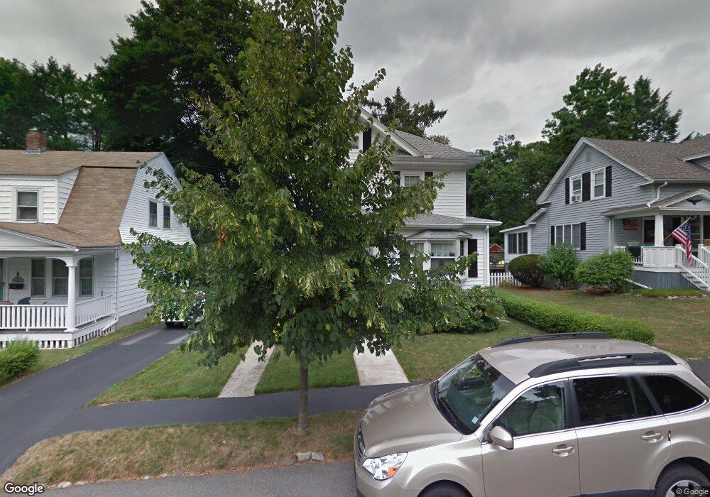
50 Brookline Ave Haverhill, MA 01830
Walnut Square NeighborhoodEstimated Value: $513,000 - $562,000
3
Beds
1
Bath
1,410
Sq Ft
$378/Sq Ft
Est. Value
About This Home
This home is located at 50 Brookline Ave, Haverhill, MA 01830 and is currently estimated at $532,560, approximately $377 per square foot. 50 Brookline Ave is a home located in Essex County with nearby schools including Pentucket Lake Elementary School, John G. Whittier Middle School, and Haverhill High School.
Ownership History
Date
Name
Owned For
Owner Type
Purchase Details
Closed on
Aug 1, 2024
Sold by
Ostopchuk Beatrice A and Ostopchuk Joseph J
Bought by
Ostopchuk John J
Current Estimated Value
Purchase Details
Closed on
Feb 6, 1963
Bought by
Ostopchuk Joseph J and Ostopchuk Beatrice A
Create a Home Valuation Report for This Property
The Home Valuation Report is an in-depth analysis detailing your home's value as well as a comparison with similar homes in the area
Home Values in the Area
Average Home Value in this Area
Purchase History
| Date | Buyer | Sale Price | Title Company |
|---|---|---|---|
| Ostopchuk John J | -- | None Available | |
| Ostopchuk John J | -- | None Available | |
| Ostopchuk Joseph J | -- | -- |
Source: Public Records
Mortgage History
| Date | Status | Borrower | Loan Amount |
|---|---|---|---|
| Previous Owner | Ostopchuk Joseph J | $10,000 | |
| Previous Owner | Ostopchuk Joseph J | $15,000 |
Source: Public Records
Tax History Compared to Growth
Tax History
| Year | Tax Paid | Tax Assessment Tax Assessment Total Assessment is a certain percentage of the fair market value that is determined by local assessors to be the total taxable value of land and additions on the property. | Land | Improvement |
|---|---|---|---|---|
| 2025 | $4,780 | $446,300 | $173,400 | $272,900 |
| 2024 | $4,386 | $412,200 | $170,300 | $241,900 |
| 2023 | $4,250 | $381,200 | $161,200 | $220,000 |
| 2022 | $4,152 | $326,400 | $150,600 | $175,800 |
| 2021 | $3,989 | $296,800 | $142,900 | $153,900 |
| 2020 | $3,956 | $290,900 | $139,900 | $151,000 |
| 2019 | $3,804 | $272,700 | $121,700 | $151,000 |
| 2018 | $3,655 | $256,300 | $115,600 | $140,700 |
| 2017 | $3,670 | $244,800 | $115,600 | $129,200 |
| 2016 | $3,405 | $221,700 | $97,300 | $124,400 |
| 2015 | $3,403 | $221,700 | $97,300 | $124,400 |
Source: Public Records
Map
Nearby Homes
- 140 North Ave
- 23 Winona Ave
- 15 Westminster Ave
- 34 Lakeview Ave
- 31 Rosemary Ave
- 116 Crosby St
- 70 Westminster Ave
- 63 Melrose Ave
- 58 Pinedale Ave
- 48 16th Ave
- 43 14th Ave
- 15 Talmuth Ave
- 451 Primrose St
- 202 Cedar St
- 28 Rutherford Ave
- 55 Ledge Rd
- 1022 Main St
- 440 North Ave Unit 201
- 440 North Ave Unit 145
- 440 North Ave Unit 173
- 46 Brookline Ave
- 54 Brookline Ave
- 44 Brookline Ave
- 51 Brookline Ave
- 57 Tyler Park
- 60 Brookline Ave
- 45 Brookline Ave
- 43 Tyler Park
- 84 Winona Ave
- 36 Brookline Ave
- 96 Winona Ave
- 39 Brookline Ave
- 100 Winona Ave
- 0 Brookline Ave
- 78 Winona Ave
- 104 Winona Ave
- 35 Brookline Ave
- 89 Winona Ave
- 35 Tyler Park
- 97 Winona Ave