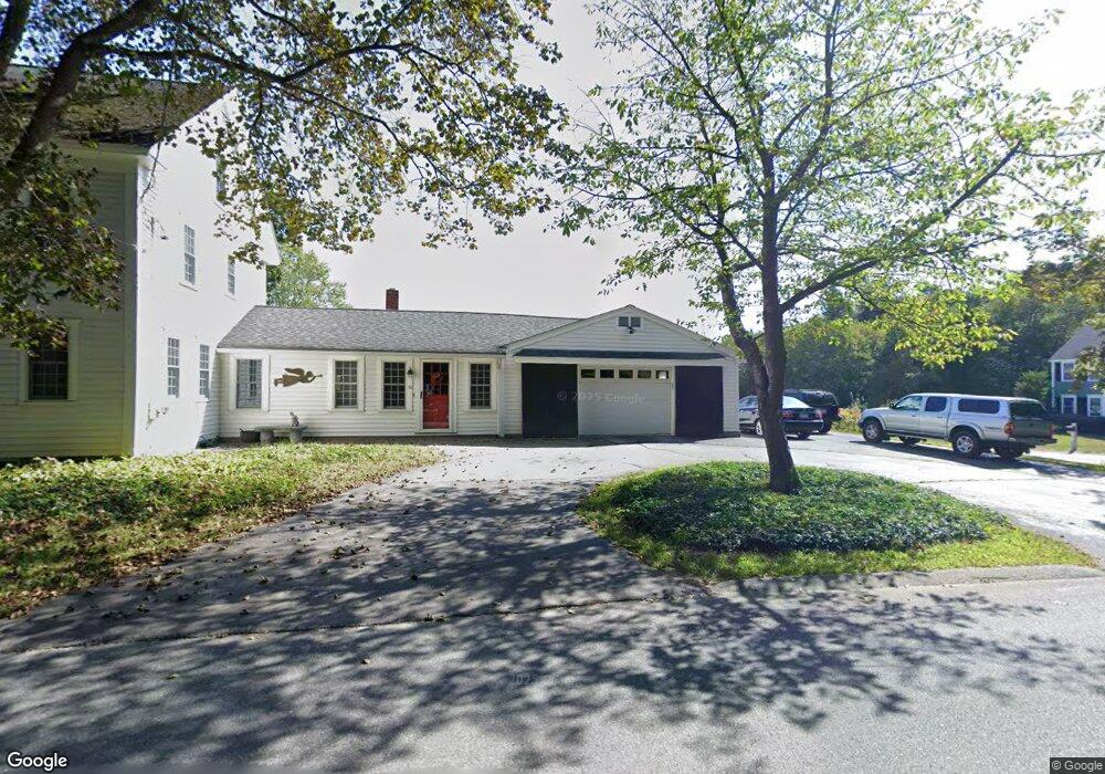
50 Bruce St Littleton, MA 01460
Estimated Value: $839,000 - $1,077,000
3
Beds
4
Baths
3,367
Sq Ft
$283/Sq Ft
Est. Value
About This Home
This home is located at 50 Bruce St, Littleton, MA 01460 and is currently estimated at $952,647, approximately $282 per square foot. 50 Bruce St is a home located in Middlesex County with nearby schools including Shaker Lane Elementary School, Russell Street Elementary School, and Littleton Middle School.
Ownership History
Date
Name
Owned For
Owner Type
Purchase Details
Closed on
May 11, 2016
Sold by
Winroth James S and Winroth Kerry
Bought by
Winthrop Ft
Current Estimated Value
Purchase Details
Closed on
Dec 31, 1998
Sold by
Equus Rt and Peterson Ellen M
Bought by
Winroth Kerry and Winroth James S
Home Financials for this Owner
Home Financials are based on the most recent Mortgage that was taken out on this home.
Original Mortgage
$218,400
Interest Rate
6.84%
Mortgage Type
Purchase Money Mortgage
Create a Home Valuation Report for This Property
The Home Valuation Report is an in-depth analysis detailing your home's value as well as a comparison with similar homes in the area
Home Values in the Area
Average Home Value in this Area
Purchase History
| Date | Buyer | Sale Price | Title Company |
|---|---|---|---|
| Winthrop Ft | -- | -- | |
| Winroth Kerry | $273,000 | -- |
Source: Public Records
Mortgage History
| Date | Status | Borrower | Loan Amount |
|---|---|---|---|
| Previous Owner | Winroth Kerry | $30,000 | |
| Previous Owner | Winroth Kerry | $218,400 |
Source: Public Records
Tax History Compared to Growth
Tax History
| Year | Tax Paid | Tax Assessment Tax Assessment Total Assessment is a certain percentage of the fair market value that is determined by local assessors to be the total taxable value of land and additions on the property. | Land | Improvement |
|---|---|---|---|---|
| 2025 | $117 | $788,700 | $231,000 | $557,700 |
| 2024 | $11,038 | $743,800 | $224,400 | $519,400 |
| 2023 | $10,868 | $668,800 | $228,800 | $440,000 |
| 2022 | $9,154 | $516,900 | $228,800 | $288,100 |
| 2021 | $8,326 | $470,400 | $220,100 | $250,300 |
| 2020 | $7,737 | $435,400 | $204,800 | $230,600 |
| 2019 | $7,411 | $406,300 | $178,700 | $227,600 |
| 2018 | $10,142 | $393,000 | $176,500 | $216,500 |
| 2017 | $9,915 | $393,000 | $176,500 | $216,500 |
| 2016 | $6,949 | $392,800 | $176,500 | $216,300 |
| 2015 | $6,883 | $380,300 | $152,600 | $227,700 |
Source: Public Records
Map
Nearby Homes
- 239 St Unit 3
- 239 Ayer Rd Unit 16
- 0 Ayer Rd
- 4 Spectacle Pond Rd
- 17 Chestnut Ln
- 23 Hemlock Dr
- 9 (Lt 44) Darrell Dr
- 11 (Lt 45) Darrell Dr
- 36 Whitetail Way
- 150 Whitcomb Ave
- 6 Winterberry Ln
- 75 Sandy Pond Rd Unit 44
- 75 Sandy Pond Rd Unit 7
- 55 Littleton Rd Unit 1C
- 18 Pleasant St
- 20 Murray Park Rd
- 17 Hartwell Ave
- 95 Ann Lee Rd
- 69 Willard St Unit 69
- 15 Calvin St