50 Buck Mountain Ln Bakersville, NC 28705
Estimated Value: $181,000 - $605,213
--
Bed
--
Bath
--
Sq Ft
29.8
Acres
About This Home
This home is located at 50 Buck Mountain Ln, Bakersville, NC 28705 and is currently estimated at $369,738. 50 Buck Mountain Ln is a home with nearby schools including Gouge Elementary School, Bowman Middle School, and Mitchell High School.
Ownership History
Date
Name
Owned For
Owner Type
Purchase Details
Closed on
Jan 12, 2012
Sold by
Sautner Randy L and Sautner Sherry A
Bought by
Sautner Randy L and Sautner Sherry A
Current Estimated Value
Home Financials for this Owner
Home Financials are based on the most recent Mortgage that was taken out on this home.
Original Mortgage
$230,300
Interest Rate
3.97%
Mortgage Type
New Conventional
Create a Home Valuation Report for This Property
The Home Valuation Report is an in-depth analysis detailing your home's value as well as a comparison with similar homes in the area
Home Values in the Area
Average Home Value in this Area
Purchase History
| Date | Buyer | Sale Price | Title Company |
|---|---|---|---|
| Sautner Randy L | -- | None Available |
Source: Public Records
Mortgage History
| Date | Status | Borrower | Loan Amount |
|---|---|---|---|
| Closed | Sautner Randy L | $230,300 |
Source: Public Records
Tax History Compared to Growth
Tax History
| Year | Tax Paid | Tax Assessment Tax Assessment Total Assessment is a certain percentage of the fair market value that is determined by local assessors to be the total taxable value of land and additions on the property. | Land | Improvement |
|---|---|---|---|---|
| 2025 | $2,993 | $467,700 | $134,500 | $333,200 |
| 2024 | $2,947 | $467,700 | $134,500 | $333,200 |
| 2023 | $2,947 | $467,700 | $134,500 | $333,200 |
| 2022 | $2,947 | $467,700 | $134,500 | $333,200 |
| 2021 | $2,282 | $351,000 | $124,500 | $226,500 |
| 2020 | $2,282 | $351,000 | $124,500 | $226,500 |
| 2019 | $2,282 | $351,000 | $124,500 | $226,500 |
| 2018 | $2,282 | $351,000 | $124,500 | $226,500 |
| 2017 | $2,361 | $363,200 | $124,500 | $238,700 |
| 2016 | $2,179 | $363,200 | $124,500 | $238,700 |
| 2015 | $218 | $363,200 | $124,500 | $238,700 |
| 2014 | $2,179 | $363,200 | $124,500 | $238,700 |
Source: Public Records
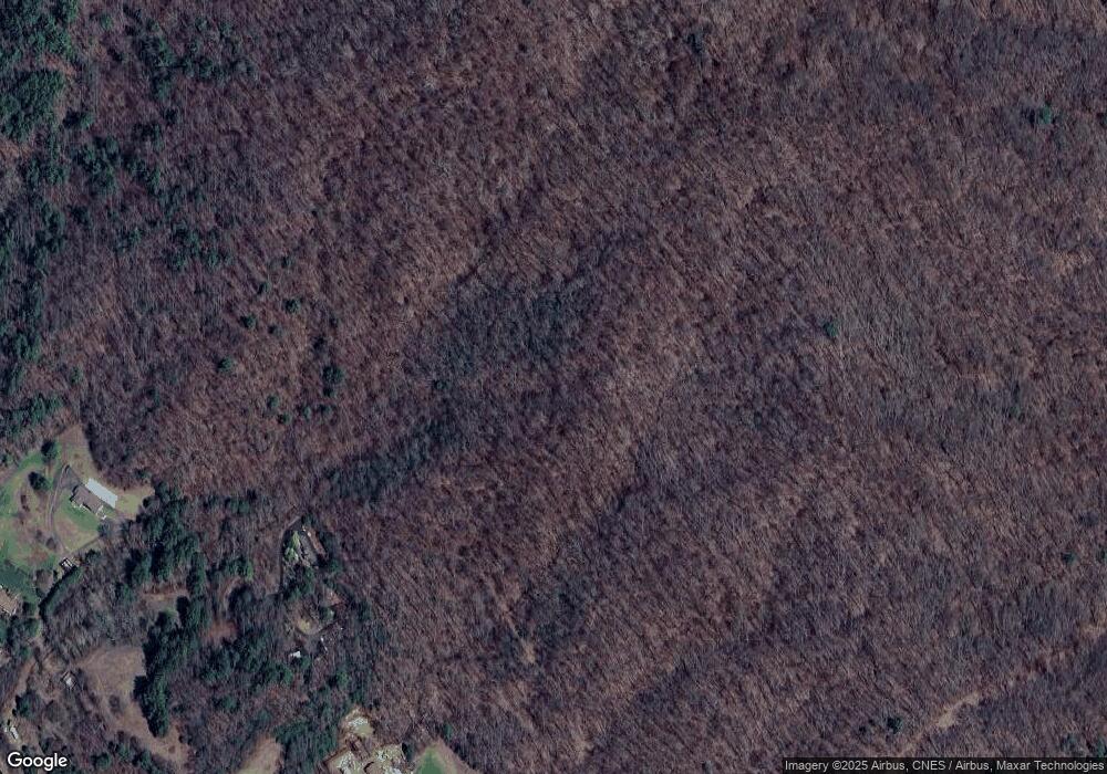
Map
Nearby Homes
- 00 Elkins Rd
- 249 Starlin Mountain Rd
- 1424 Bear Creek Rd
- TBD Elkins Rd
- 370 Bear Creek Church Rd
- 5218 S 226 Hwy
- 407 Terrell Dr
- 202 Snow Hill Rd
- 00 Ashland Mountain Rd
- 607 Fred Sparks Rd
- 00 Apple Farm Rd
- TBD Robert Phillips Rd
- 193 Green Cove Rd
- 244 Mcmahon Ln
- 987 White Oak Rd
- 49 Loggy Hollow Rd
- 3004 Cane Creek Rd
- 1371 Wing Rd
- 3477 Cane Creek Rd
- 208 Murdock Rd
- 102 Alfred Woody Dr
- 171 Carp Pond Rd
- 1134 Hamburg Rd
- 111 Carp Pond Rd
- 111 Carp Pond Rd
- 270 Alfred Woody Dr
- 60 Carp Pond Rd
- 272 Alfred Woody Dr
- 71 Carp Pond Rd
- 1280 Hamburg Rd
- 1197 Hamburg Rd
- 1149 Hamburg Rd
- 1352 Hamburg Rd
- 0 Hamburg Rd
- 928 Hamburg Rd
- 928 Hamburg Rd
- 24 Laurel Cove Rd
- 1374 Hamburg Rd
- 68 Laurel Cove Rd
- 1438 Hamburg Rd