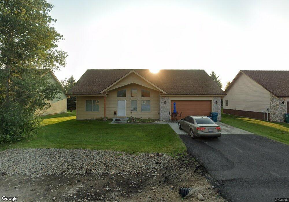
50 Buckskin Rd Donnelly, ID 83615
Estimated Value: $381,000 - $434,371
3
Beds
2
Baths
1,430
Sq Ft
$287/Sq Ft
Est. Value
About This Home
This home is located at 50 Buckskin Rd, Donnelly, ID 83615 and is currently estimated at $411,093, approximately $287 per square foot. 50 Buckskin Rd is a home located in Valley County with nearby schools including Donnelly Elementary School and McCall-Donnelly High School.
Ownership History
Date
Name
Owned For
Owner Type
Purchase Details
Closed on
Dec 21, 2021
Sold by
Blanchfield Christopher R and Blanchfield Dawn Ami
Bought by
Graham Braden S
Current Estimated Value
Home Financials for this Owner
Home Financials are based on the most recent Mortgage that was taken out on this home.
Original Mortgage
$205,000
Outstanding Balance
$188,394
Interest Rate
3.05%
Mortgage Type
New Conventional
Estimated Equity
$222,699
Purchase Details
Closed on
Dec 20, 2005
Sold by
Timberline Development Llc
Bought by
Blanchfield Christopher R and Blanchfield Dawn Ami
Home Financials for this Owner
Home Financials are based on the most recent Mortgage that was taken out on this home.
Original Mortgage
$158,800
Interest Rate
5.37%
Mortgage Type
Adjustable Rate Mortgage/ARM
Create a Home Valuation Report for This Property
The Home Valuation Report is an in-depth analysis detailing your home's value as well as a comparison with similar homes in the area
Home Values in the Area
Average Home Value in this Area
Purchase History
| Date | Buyer | Sale Price | Title Company |
|---|---|---|---|
| Graham Braden S | -- | First American Title Mccall | |
| Blanchfield Christopher R | -- | -- |
Source: Public Records
Mortgage History
| Date | Status | Borrower | Loan Amount |
|---|---|---|---|
| Open | Graham Braden S | $205,000 | |
| Previous Owner | Blanchfield Christopher R | $158,800 |
Source: Public Records
Tax History Compared to Growth
Tax History
| Year | Tax Paid | Tax Assessment Tax Assessment Total Assessment is a certain percentage of the fair market value that is determined by local assessors to be the total taxable value of land and additions on the property. | Land | Improvement |
|---|---|---|---|---|
| 2025 | $1,078 | $385,497 | $26,590 | $358,907 |
| 2023 | $1,078 | $439,743 | $27,434 | $412,309 |
| 2022 | $1,197 | $389,477 | $27,434 | $362,043 |
| 2021 | $1,107 | $229,951 | $21,103 | $208,848 |
| 2020 | $1,075 | $186,354 | $26,187 | $160,167 |
| 2019 | $923 | $146,299 | $24,940 | $121,359 |
| 2018 | $902 | $135,245 | $23,379 | $111,866 |
| 2017 | $970 | $133,296 | $26,771 | $106,525 |
| 2016 | $916 | $123,649 | $25,000 | $98,649 |
| 2015 | $808 | $102,752 | $0 | $0 |
| 2013 | -- | $100,055 | $0 | $0 |
Source: Public Records
Map
Nearby Homes
- Lot 4 Hideout Dr Unit 4
- Lot 6 Hideout Dr Unit 6
- 13111 Cameron Dr
- 24 Mangum Dr Unit # 1 Unit 1
- 24 Mangum Cir Unit 1
- 22 Charters Dr
- 20 #5 W Mangum Cir Unit 5
- 20 Mangum Cir Unit 8
- 35 1 Mangum Cir
- 32 Mangum Cir Unit 3
- 32 Mangum Cir
- 16 Buckskin Dr
- 35 Mangum Cir Unit 1
- 34 Mangum Cir Unit 8
- 13098 Hill House Loop
- 1816 Schultz
- 1816 Schultz Unit 15
- 13078 Hill House Loop
- 13091 Hill House Loop
- 13076 Hill House Loop