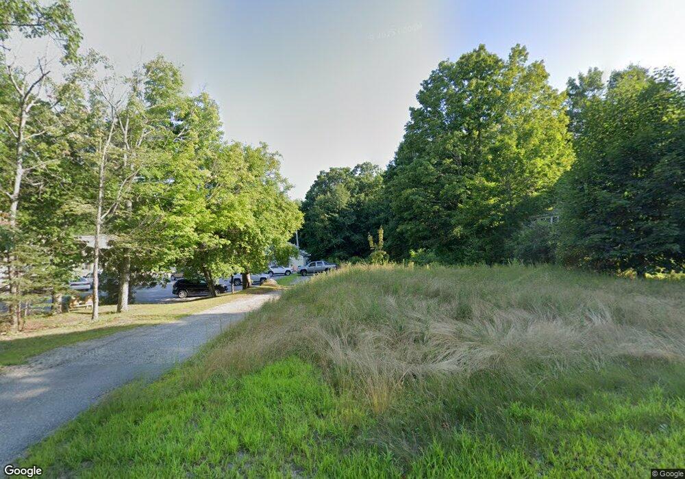
50 Bucksport Rd Ellsworth, ME 04605
Estimated Value: $115,000 - $409,000
--
Bed
--
Bath
--
Sq Ft
0.89
Acres
About This Home
This home is located at 50 Bucksport Rd, Ellsworth, ME 04605 and is currently estimated at $280,667. 50 Bucksport Rd is a home located in Hancock County with nearby schools including Sumner Memorial High School, Kidspeace National Centers of New England, and Graham Lake School.
Ownership History
Date
Name
Owned For
Owner Type
Purchase Details
Closed on
Apr 27, 2015
Sold by
Orestis John C
Bought by
Coffin Jeffery A and Coffin Dawn A
Current Estimated Value
Purchase Details
Closed on
Mar 28, 2008
Sold by
Knight Joyce E
Bought by
Emmert James S and Perkins Pamela
Purchase Details
Closed on
Aug 2, 2006
Sold by
Levesque William W and Levesque Sandra L
Bought by
Orestis John C
Home Financials for this Owner
Home Financials are based on the most recent Mortgage that was taken out on this home.
Original Mortgage
$120,000
Interest Rate
6.7%
Mortgage Type
Purchase Money Mortgage
Create a Home Valuation Report for This Property
The Home Valuation Report is an in-depth analysis detailing your home's value as well as a comparison with similar homes in the area
Home Values in the Area
Average Home Value in this Area
Purchase History
| Date | Buyer | Sale Price | Title Company |
|---|---|---|---|
| Coffin Jeffery A | -- | -- | |
| Emmert James S | $1,001 | -- | |
| Orestis John C | -- | -- |
Source: Public Records
Mortgage History
| Date | Status | Borrower | Loan Amount |
|---|---|---|---|
| Previous Owner | Emmert James S | $230,350 | |
| Previous Owner | Orestis John C | $120,000 |
Source: Public Records
Tax History Compared to Growth
Tax History
| Year | Tax Paid | Tax Assessment Tax Assessment Total Assessment is a certain percentage of the fair market value that is determined by local assessors to be the total taxable value of land and additions on the property. | Land | Improvement |
|---|---|---|---|---|
| 2024 | $603 | $34,540 | $34,540 | $0 |
| 2023 | $570 | $32,970 | $32,970 | $0 |
| 2022 | $518 | $32,970 | $32,970 | $0 |
| 2021 | $566 | $31,400 | $31,400 | $0 |
| 2020 | $589 | $31,400 | $31,400 | $0 |
| 2019 | $591 | $31,400 | $31,400 | $0 |
| 2018 | $573 | $31,400 | $31,400 | $0 |
| 2017 | $564 | $31,400 | $31,400 | $0 |
| 2016 | $555 | $31,400 | $31,400 | $0 |
| 2015 | $2,531 | $143,000 | $23,400 | $119,600 |
| 2014 | $2,352 | $143,000 | $23,400 | $119,600 |
| 2012 | $2,209 | $143,000 | $23,400 | $119,600 |
Source: Public Records
Map
Nearby Homes
- 23 South St
- 80 State St
- 14 Westwood Dr
- 89 & 93 State St
- 8 Sterling St
- 35 Church St
- 135 Surry Rd Unit 1 & 2
- 50 Church St
- 14 Lincoln St
- 14 Jude Ln
- 456 Water St
- 12 Blue Heron Way Unit 12
- 58 Washington St
- 221 Bucksport Rd
- 44 Tinker Meadow Way Unit 40
- 42 Tinker Meadow Way Unit 38
- 43 Tinker Meadow Way Unit 19
- 41 Tinker Meadow Way Unit 17
- 200 Surry Rd
- 307 Main St
