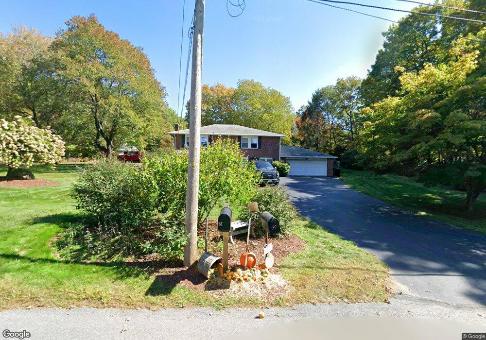
50 Campground Rd West Boylston, MA 01583
Estimated Value: $531,000 - $634,000
3
Beds
2
Baths
1,200
Sq Ft
$469/Sq Ft
Est. Value
About This Home
This home is located at 50 Campground Rd, West Boylston, MA 01583 and is currently estimated at $562,708, approximately $468 per square foot. 50 Campground Rd is a home located in Worcester County with nearby schools including Major Edwards Elementary School and West Boylston Junior/Senior High School.
Ownership History
Date
Name
Owned For
Owner Type
Purchase Details
Closed on
Oct 7, 2011
Sold by
Vagnaly Joseph P
Bought by
Wake Marie E
Current Estimated Value
Home Financials for this Owner
Home Financials are based on the most recent Mortgage that was taken out on this home.
Original Mortgage
$95,000
Outstanding Balance
$9,036
Interest Rate
4.2%
Mortgage Type
Purchase Money Mortgage
Estimated Equity
$553,672
Purchase Details
Closed on
Jun 8, 2011
Sold by
Vignaly Vincent P
Bought by
Vignaly Joseph P
Purchase Details
Closed on
Apr 4, 2007
Sold by
Vignaly Joseph P
Bought by
Vignaly Vincent P
Create a Home Valuation Report for This Property
The Home Valuation Report is an in-depth analysis detailing your home's value as well as a comparison with similar homes in the area
Home Values in the Area
Average Home Value in this Area
Purchase History
| Date | Buyer | Sale Price | Title Company |
|---|---|---|---|
| Wake Marie E | $240,100 | -- | |
| Vignaly Joseph P | -- | -- | |
| Vignaly Vincent P | -- | -- |
Source: Public Records
Mortgage History
| Date | Status | Borrower | Loan Amount |
|---|---|---|---|
| Open | Wake Marie E | $95,000 |
Source: Public Records
Tax History Compared to Growth
Tax History
| Year | Tax Paid | Tax Assessment Tax Assessment Total Assessment is a certain percentage of the fair market value that is determined by local assessors to be the total taxable value of land and additions on the property. | Land | Improvement |
|---|---|---|---|---|
| 2025 | $67 | $485,100 | $130,900 | $354,200 |
| 2024 | $6,271 | $424,300 | $133,100 | $291,200 |
| 2023 | $6,084 | $390,500 | $130,900 | $259,600 |
| 2022 | $5,999 | $339,300 | $130,900 | $208,400 |
| 2021 | $3,288 | $304,900 | $108,200 | $196,700 |
| 2020 | $5,607 | $301,800 | $108,200 | $193,600 |
| 2019 | $5,489 | $291,200 | $108,200 | $183,000 |
| 2018 | $5,084 | $271,600 | $108,200 | $163,400 |
| 2017 | $4,798 | $255,200 | $108,200 | $147,000 |
| 2016 | $4,426 | $239,900 | $100,800 | $139,100 |
| 2015 | $4,218 | $230,000 | $100,000 | $130,000 |
Source: Public Records
Map
Nearby Homes
- 21 Myrtle Ave
- 2 Lakeview Ave
- 136 Sterling St Unit A3
- 101 Sterling St
- 12 Winthrop St
- 20 Winthrop St
- 0 Boutelle Rd
- 223 Worcester Rd
- 19 Fitch Farm Rd
- 16 N Main St
- 112 N Main St
- 61 Boutelle Rd
- 6 Belmont Dr
- 20 Woodside Dr
- 45 Kendall Hill Rd
- 26 Townsend Dr
- 64 Worcester St
- 53 Beach Point Rd
- 19 James Rd
- 1 Harmony Ln Unit 4
- 49 Campground Rd
- 47 Campground Rd
- 44 Campground Rd
- 43 Campground Rd
- 52 Campground Rd
- 40 Campground Rd
- 62 Campground Rd
- 41 Campground Rd
- 30 Campground Rd
- 54 Campground Rd
- 37 Campground Rd
- 407 Lancaster St
- 70 Campground Rd
- 397 Lancaster St
- 393 Lancaster St
- 72 Campground Rd
- 395 Lancaster St
- 405 Lancaster St
- 403 Lancaster St
- 411 Lancaster St